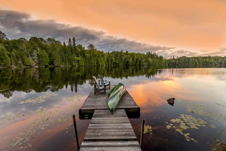
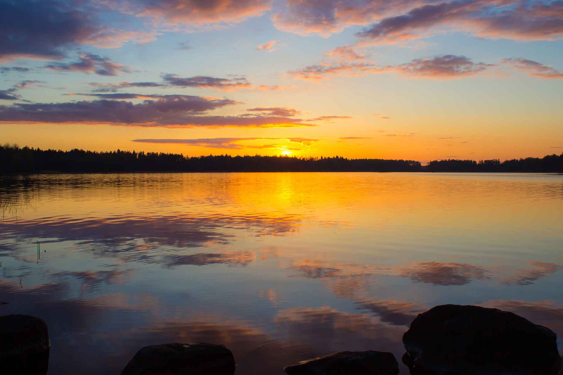
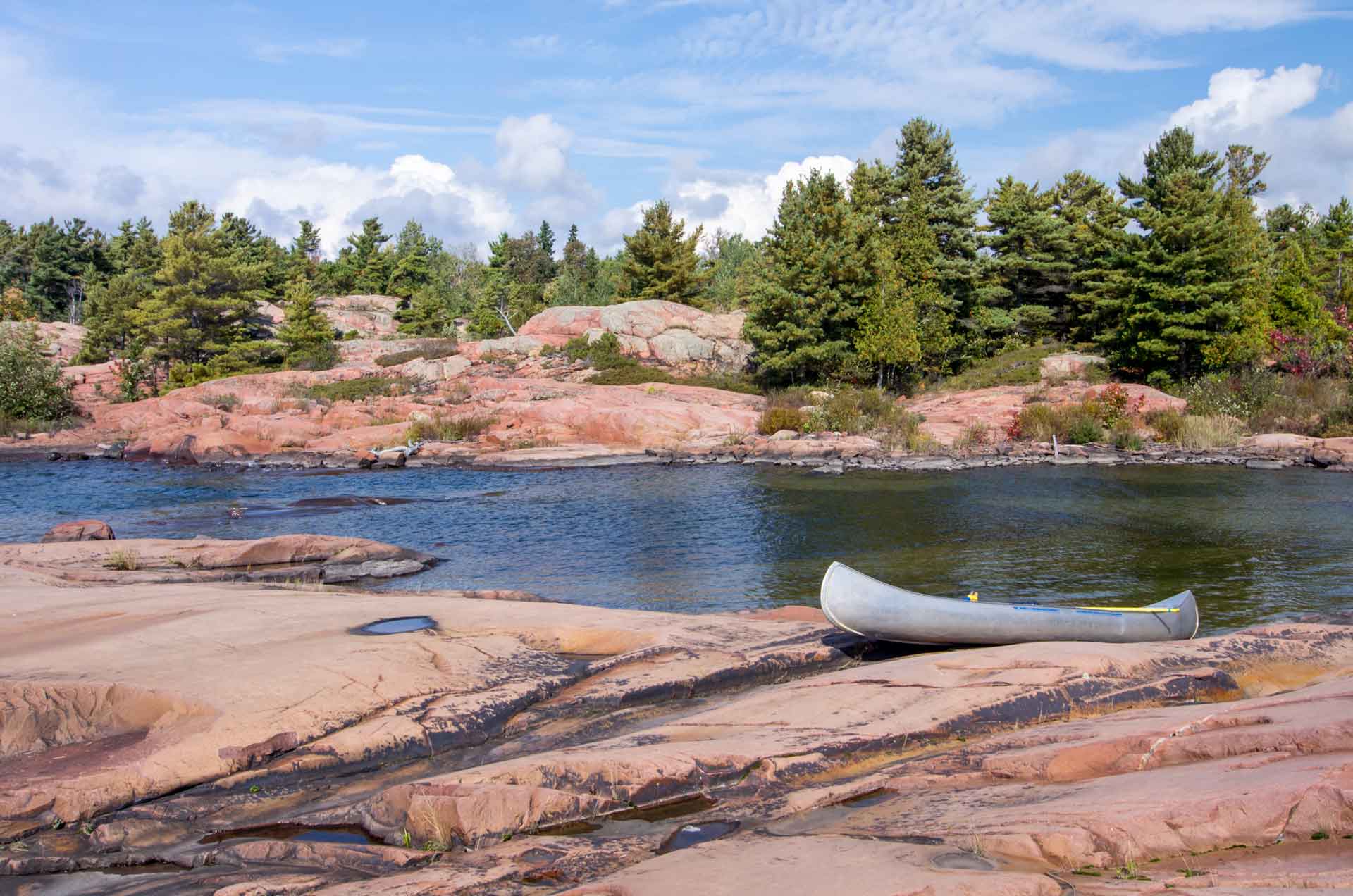
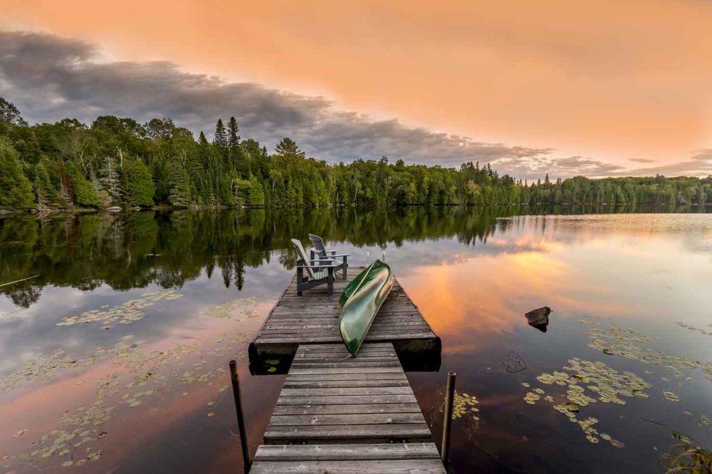
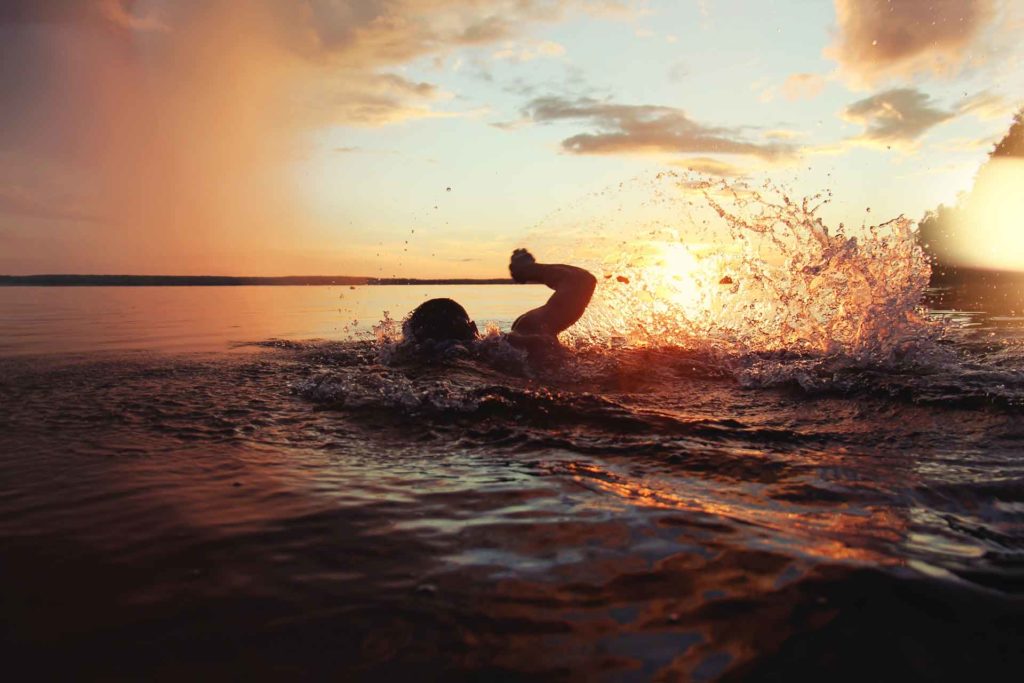
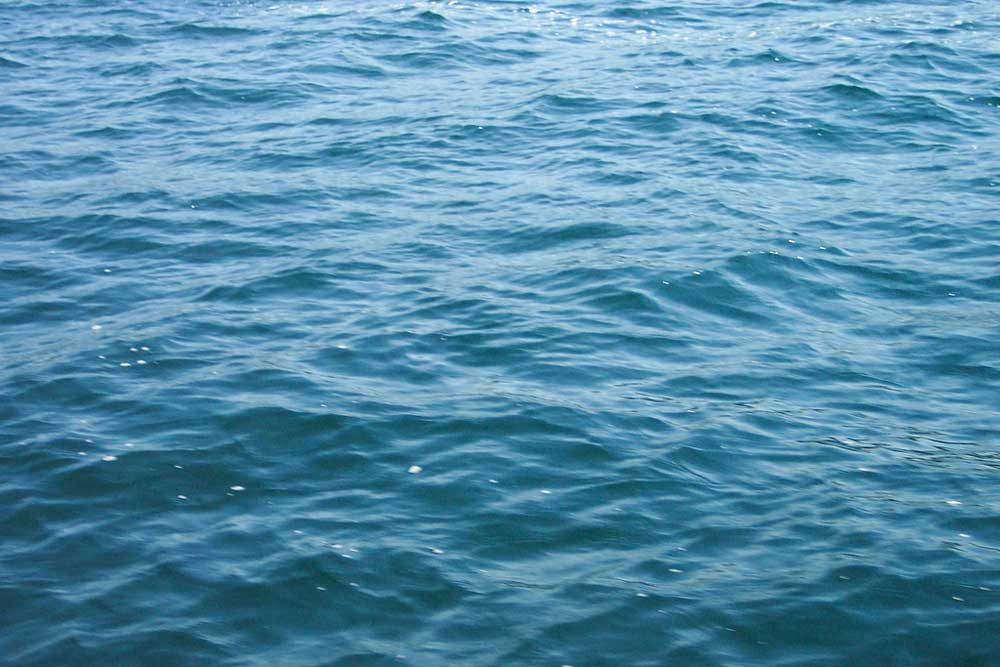
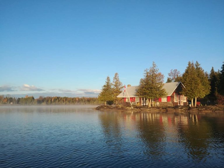
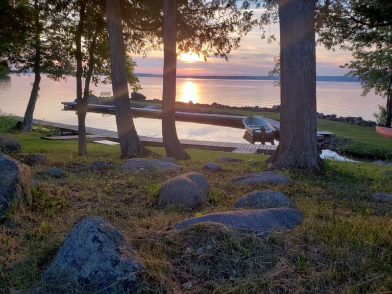
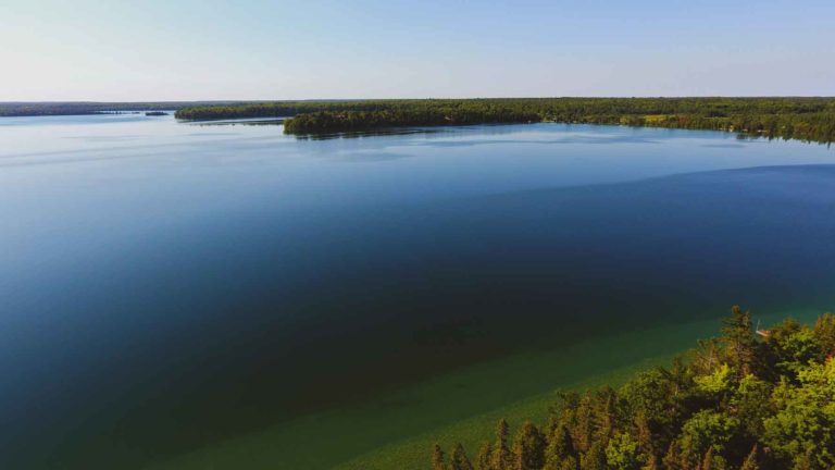
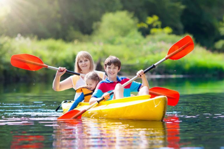
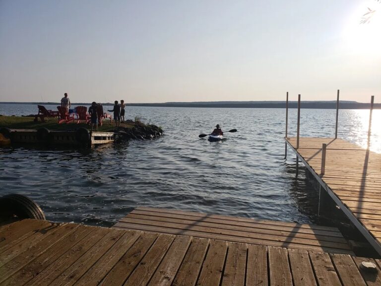
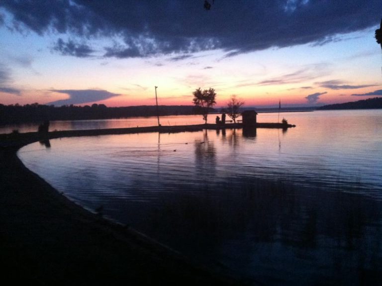
My canoe weighs 50 pounds soaking wet, so I slid it off the roof of my rig and plopped it in the water. Ahead of me spread Windfall Lake, lightly combed by wind, not a single other boat in sight.
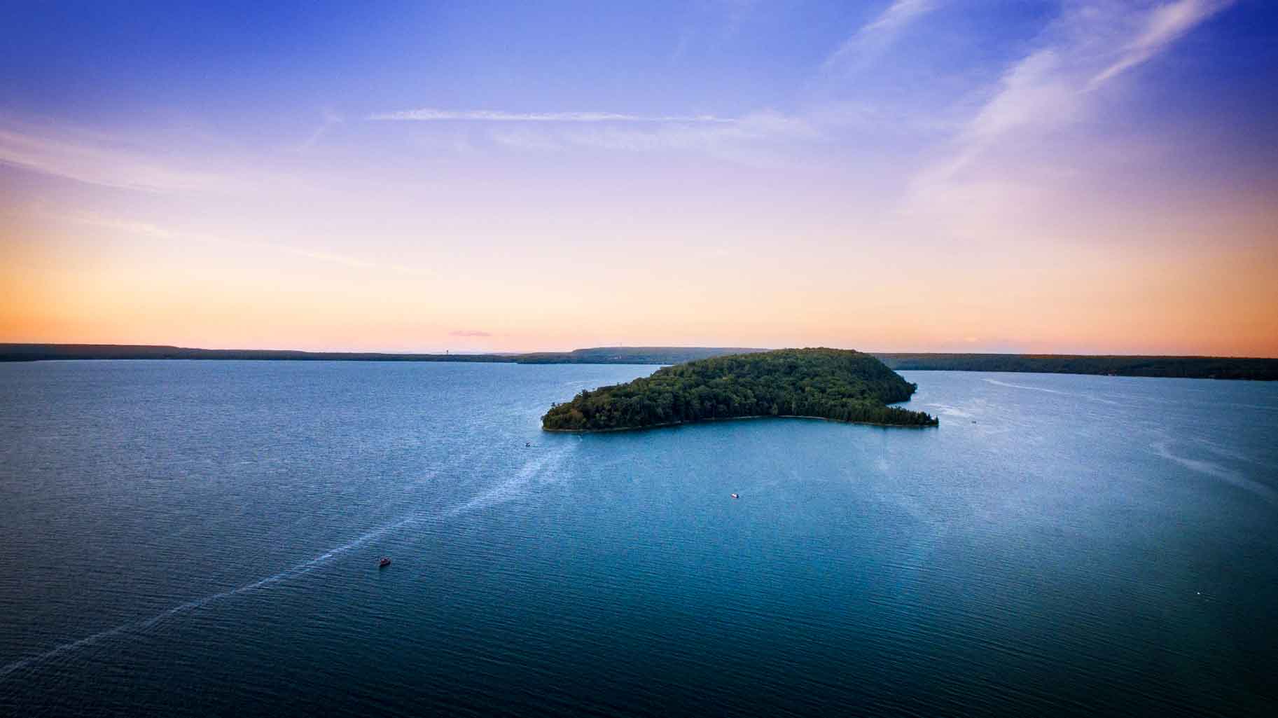
You can see pretty much the whole lake, shaped like a cordate leaf, from any point on its circumference, but it’s not a tiny pond. It’s nearly two miles long, and over a mile wide.
The depth varies. According to my guide buddy, even in the middle of the lake you might have just 10 feet of water. Yet just north and east of the public launch, there’s a 50-foot-deep channel, a half mile long by a quarter mile wide, that people call the “Blue Hole,” He says that “the pickerel go down in there when the weather’s hot.”
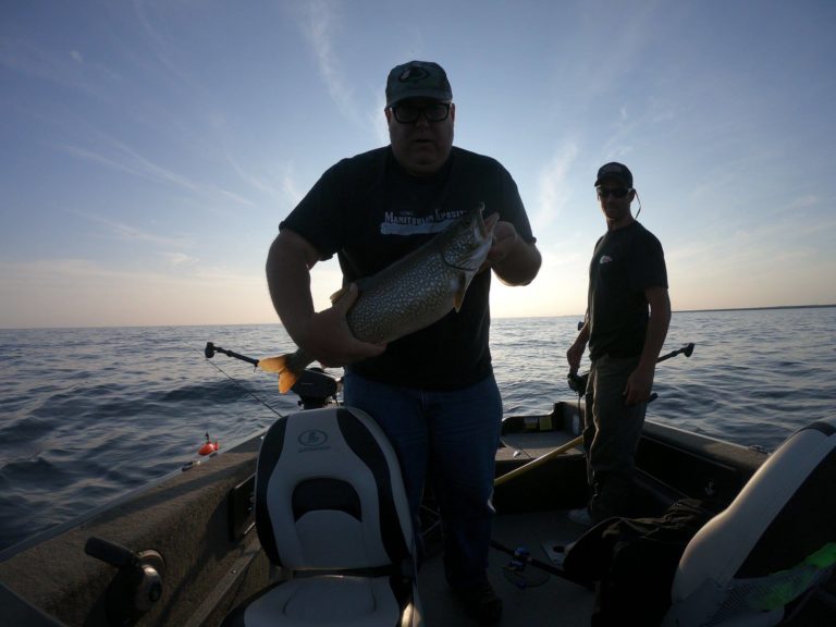
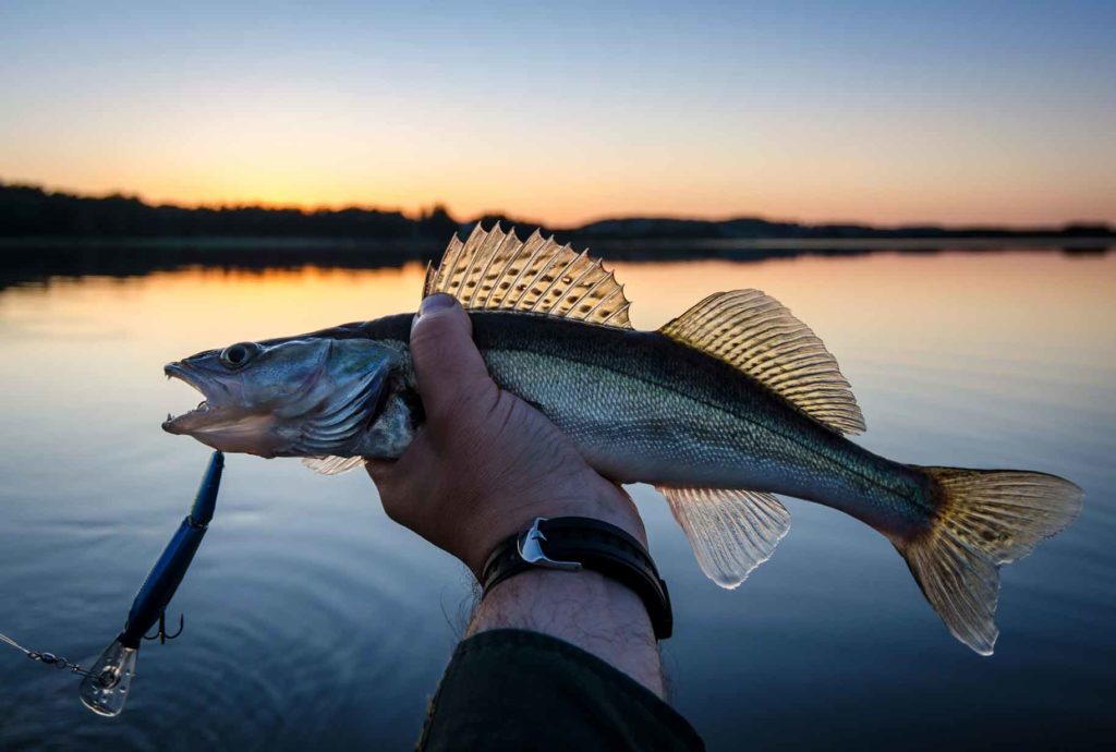
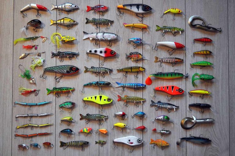
Windfall Lake was once prized for its pickerel, which were introduced in the 1940s. “We had wonderful walleye fishing there for 30 years, but the word got out, and in 10 years they cleaned her right down, taking the great big spawners,” my friend says ruefully.
There are still some pickerel in the lake, however, “they’re there if you know how to fish for them,” says the guide. “The sad part is that 70 per cent of the ones you get now are the two or three pounders that you have to put back, because they’re in the slot size of 16 to 22 inches.”
For many years pickerel were netted in Windfall Lake by the MNRF and fish hatcheries, and “milked” for their roe and milt. Some of the fry reared from those eggs would be returned to the lake, while others would be planted elsewhere.
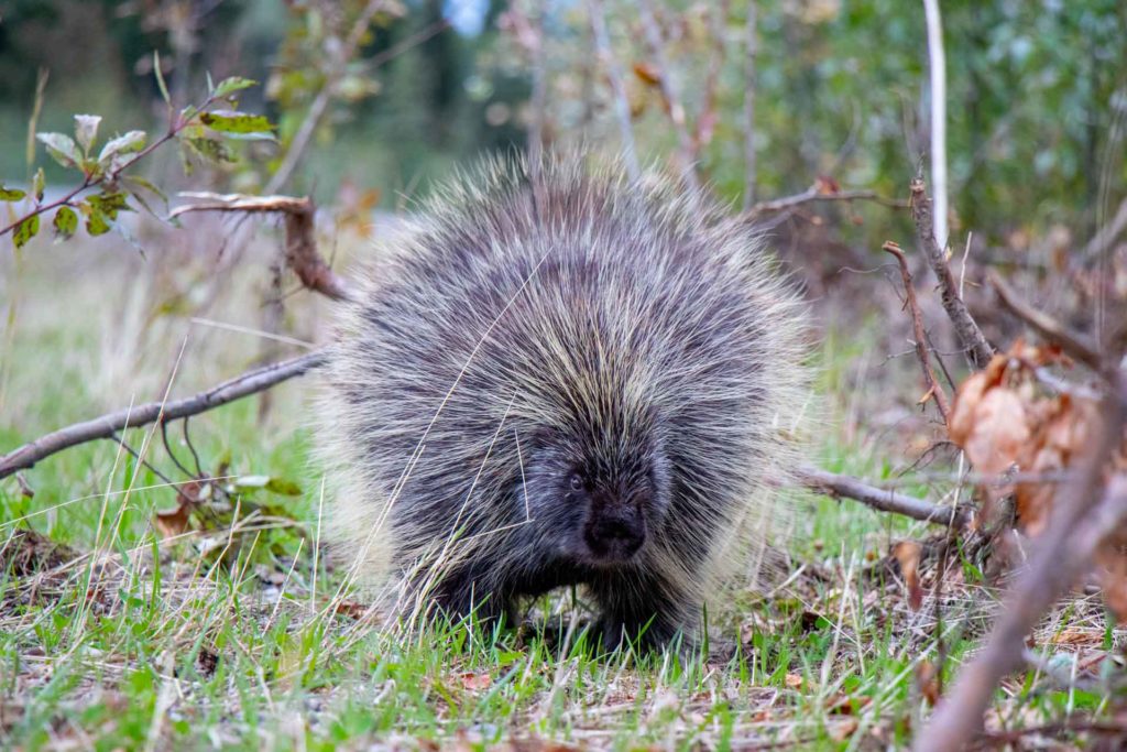
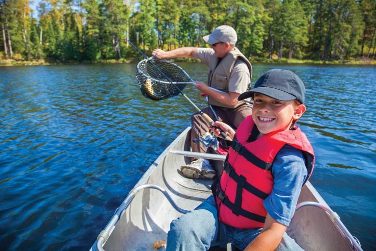
Pike were large and plentiful at one time, too. Mr. Hayes recalls hooking a 16-pound pike that “looked like it had quills sticking out of its mouth.” As voracious as pike famously are, it wasn’t the case, however, that this one had attempted to ingest a small porcupine. “They were hooks,” explains my friend. “Nine or 10 nickel-plated and gold-plated hooks, which last, so they’d stayed in its mouth. Every time someone had caught this fish, probably with a light line for perch or bass, it had snapped the line.”
He says that more than 30 years ago, “I could go in there and catch my limit of pike. We’ve got them in there up to 18 pounds, nearly as long as a canoe paddle, over 40 inches.”
While you’re unlikely to find such behemoths now, the fishing guide maintains that “for a small lake, it’s still pretty good; if you want to work for it, you can catch a pike or two.”
I didn’t bring a fishing rod when I visited Windfall, just my paddle. As I paddled, I tried to imagine a pike the length of my paddle. Then I thought about pike poles, those long shafts with spearheads on the end. For the first time ever, it dawned on me that pike were likely named for their resemblance to these medieval weapons, not only because of the pointy snouts, but because of their length.
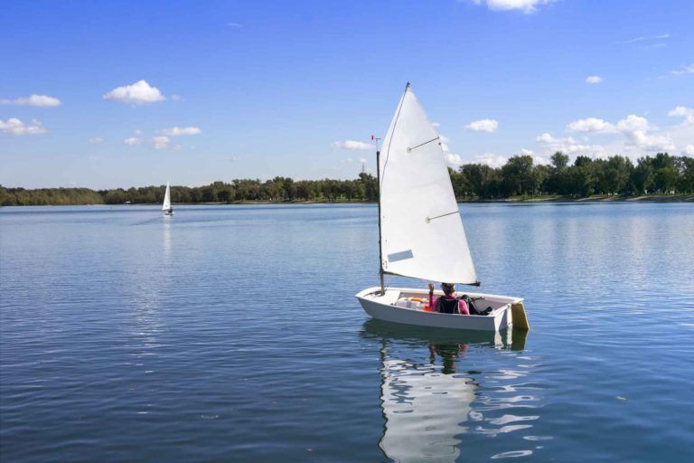
The lake remained perfectly quiet and utterly barren of boats. I didn’t see a single human being. At one point I caught the whiff of a barbecue, emanating from somewhere deep in the Dial Subdivision, but that was the only indication of sentient life. Unless you count the blue heron that flapped lazily along the tops of the trees, looking for a place to land.
The eastern shore I was following had a rocky limestone shore, densely clad in cedars, juniper bushes, maples, oaks and a few wind-toppled poplars. Windfalls!
There were wildflowers too: bright orange wood lilies, daisies, a profusion of small yellow flowers that I didn’t recognize (they weren’t snap dragons or butter cups, I know that).
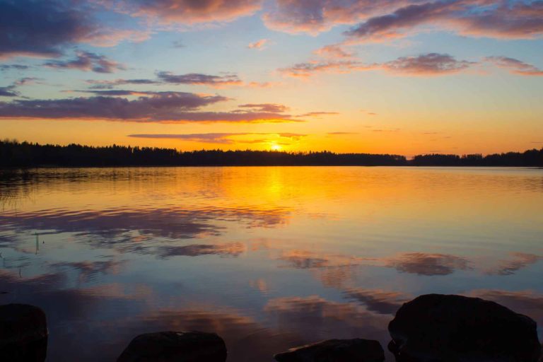
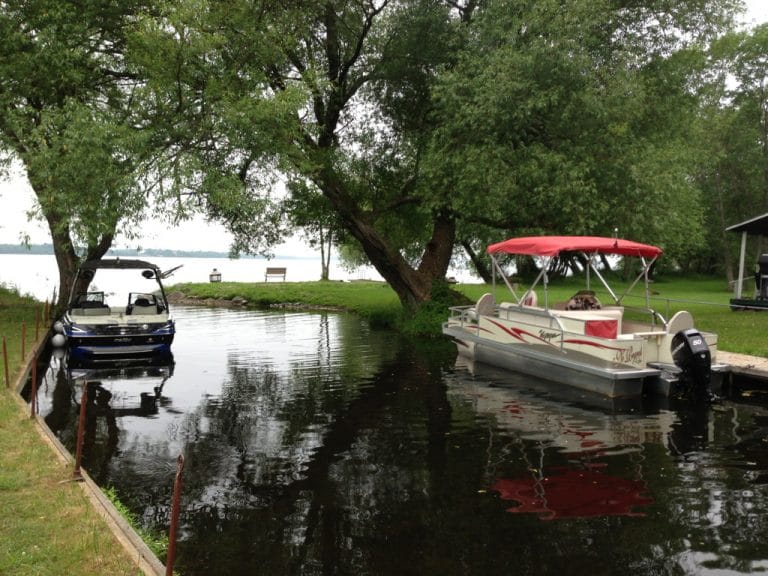
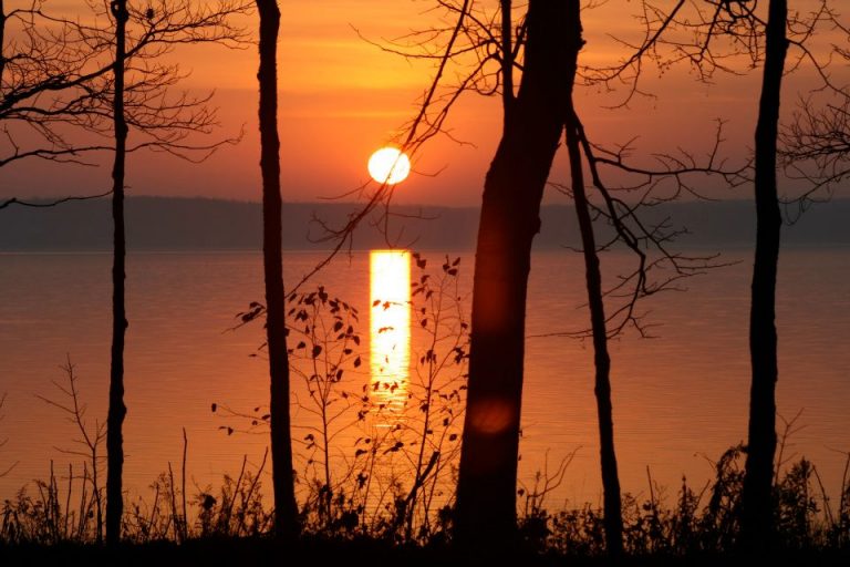
There were still no other boats on the lake. I took my time heading back, pausing here and there to rest and gaze down into the remarkably limpid water.
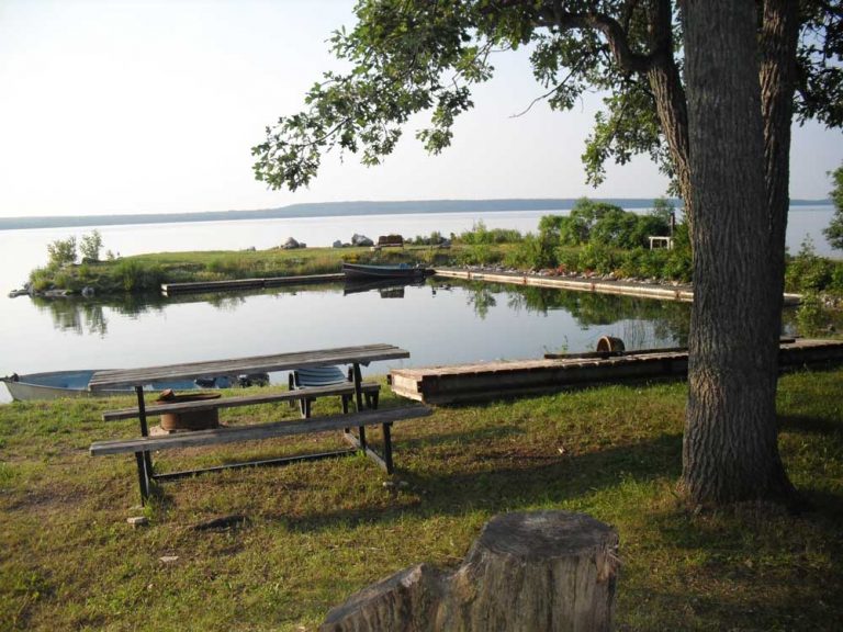
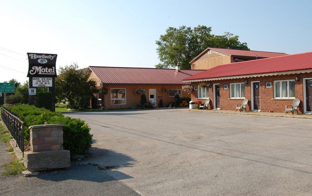
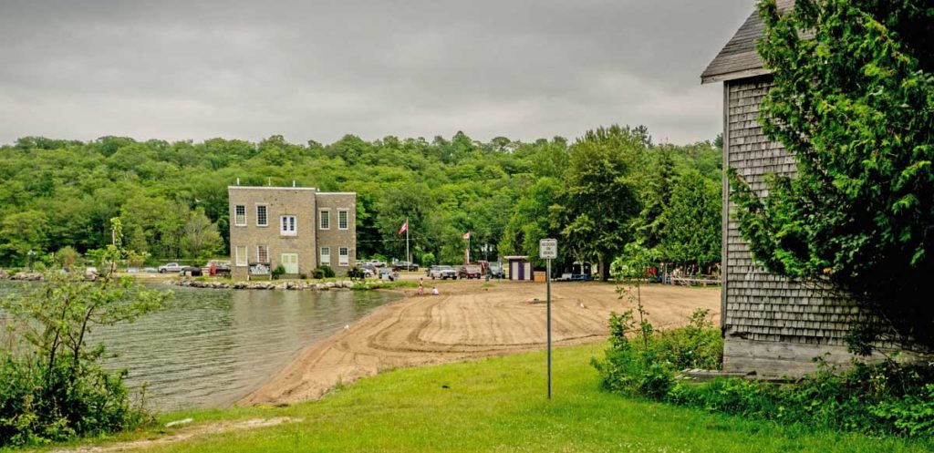
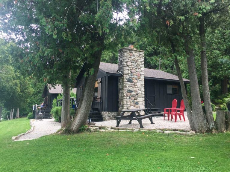
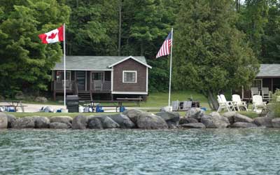
Wee Point Resort and Cottages
Stanley Park Campgrounds
Turtle Creek Lodges
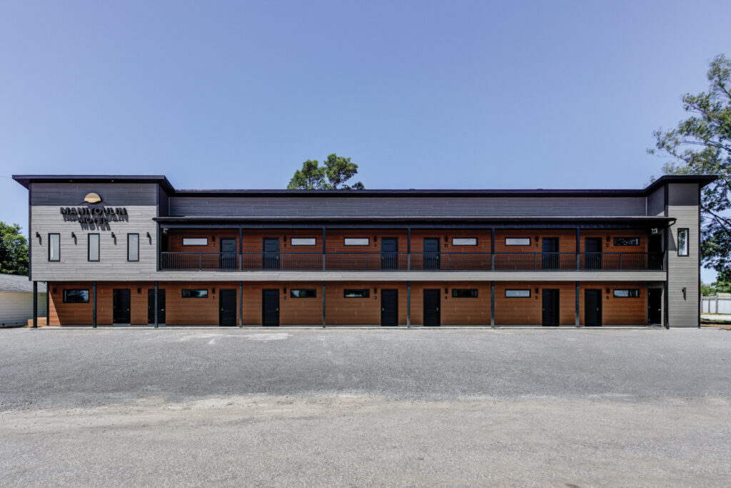
Mountain View Resort
Up Top Sports Shop
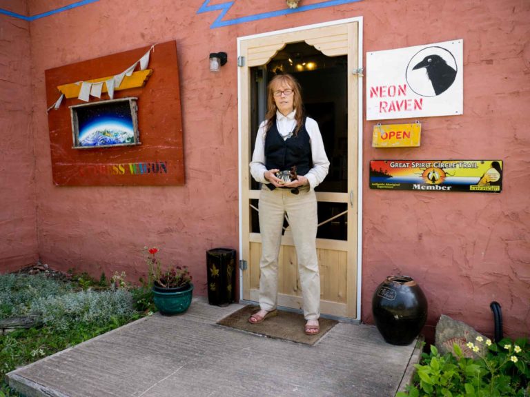
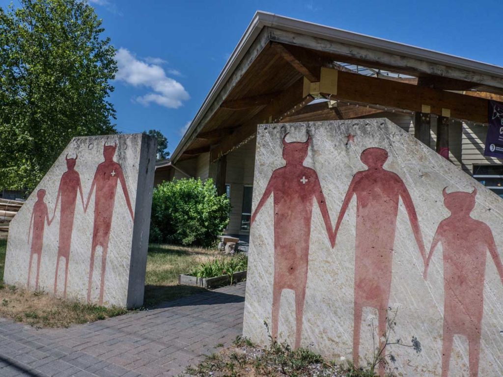
Neon Raven Art Gallery

Lillian’s Crafts
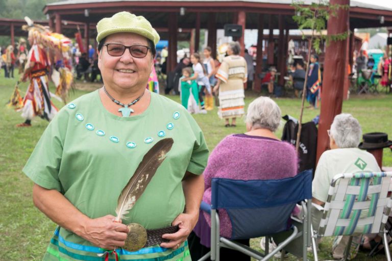
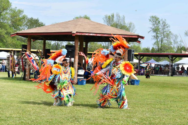
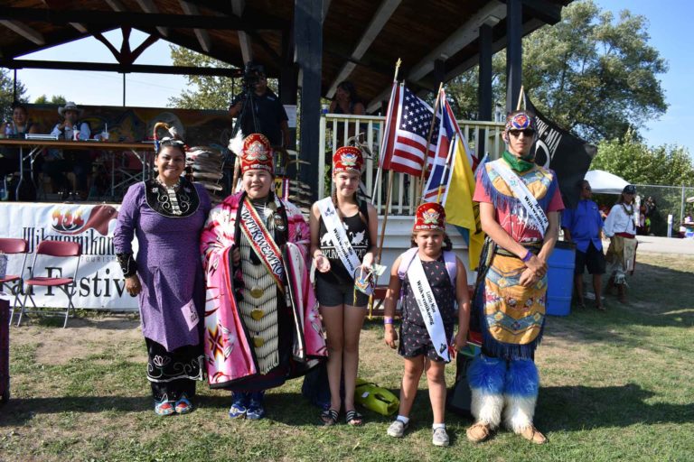
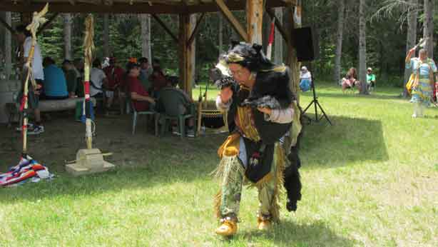
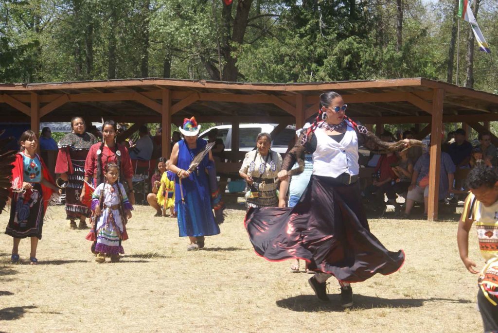
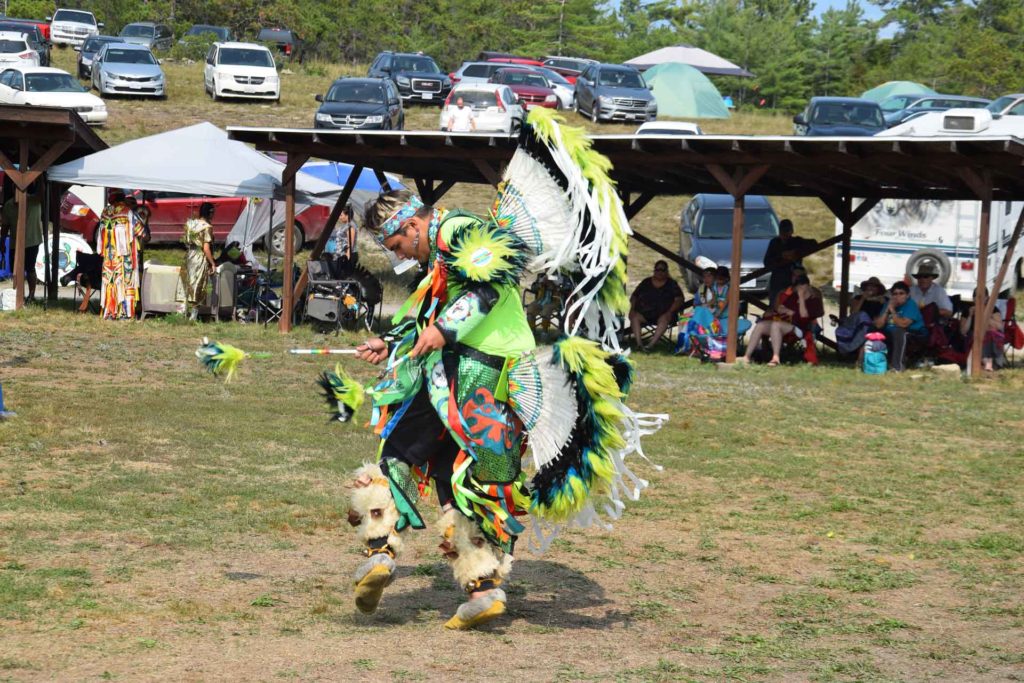
M’Chigeeng First Nation Traditional Powwow

Golf
Lillian’s Museum

Ojibwe Cultural Foundation
Mindemoya’s Pioneer Museum
Wagg’s Wood
Maja’s
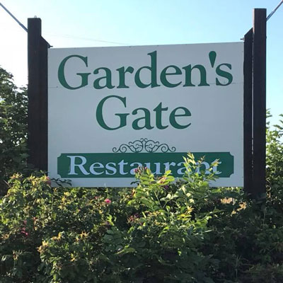
Garden’s Gate Restaurant
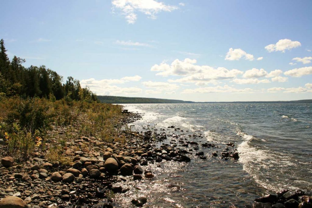
Sucker Lake
Whitefish Lake
Lake Mindemoya
Lake Manitou
Big Lake
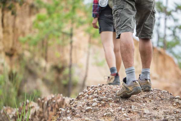
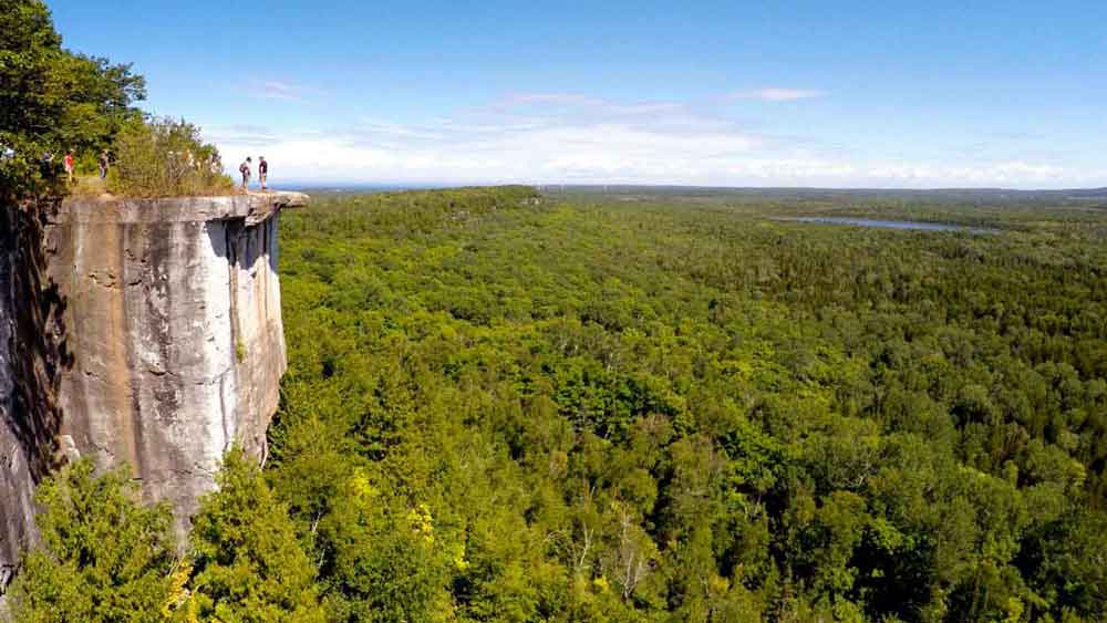
Cup and Saucer Trail
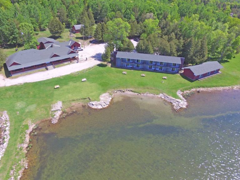
Maple Grove Cottages
Red Lodge Resort
Bass Creek Resort
Uncle Steve’s Park and Cabins
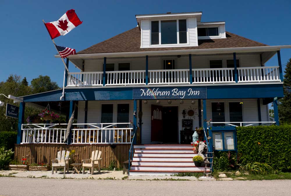
Manitoulin Resort
L & J Trailer Park
Timberlane Rustic Cottages
Camp Mary Anne Resort
Island Sunrise Cottages
Island Spring Cottages
Pirate’s Cove Cottages
Cedar Grove Cottages