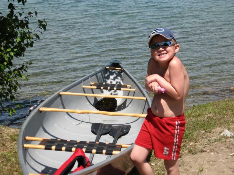
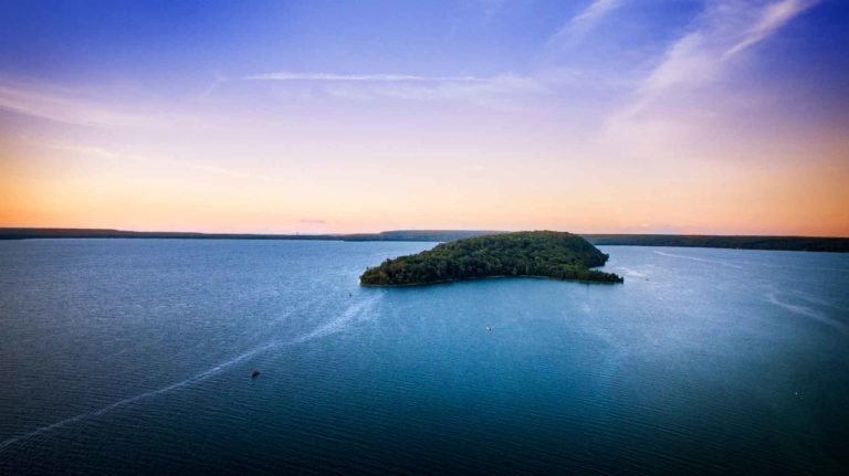
Cottages and a few year-round residents now ring the lake, which stretches about a mile and a half in length, but most are located in the southern, tapering portion, near the public dock. Here, the shoreline is clad in hardwood forest, and the water quite shallow. On the day I visited, in mid-June, a dozen kids from M’Chigeeng were horsing around on a swimming raft out front of a year-round home. They claimed the temperature was perfect for swimming, but I noticed a few goose pimples, and declined taking a plunge myself.
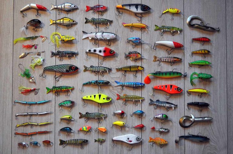
As you continue down the lake, heading north, the maple and oak forests begin to dwindle; white pines and poplars and cedars taking their place and dwellings begin to thin out too. The water, though, remains shallow for a good half mile or so, as well as remarkably clear. My unnamed angler estimated the visibility at 22 feet, adding that this clarity “makes it hard to catch fish, because they get spooked easily.”
As I paddled along I could easily make out the bottom of the lake, but no fish. Then I noticed a large pipe running along the lake floor and began to follow it to see where it would go.
The pipe doesn’t serve any purpose now (except perhaps as a haunt for smallmouth bass. A long time resident says he often sees them “hanging out there”). For many years, though, the Lakeview subdivision in M’Chigeeng drew its drinking water from Otter Lake. Now, all residents of the community get their piped water from West Bay, Well, almost all. Many of the lake’s residents still draw their water directly from their lake.
From my canoe, the pipe seemed like an endless, twisting snake. Except it probably wasn’t the pipe that was twisting, but just an effect of light filtered through the rippling water, and the yaw of my canoe. Sometimes I lost sight of the pipe in the shadow of the hull and then it would reappear on the other side of the canoe. And then, quite suddenly, it disappeared utterly from view. The lake had abruptly dropped off.
My guide says that, according to an MNRF map he saw once, the lake reaches depths of 170 feet. That’s pretty deep for a lake that’s not much more than a mile long, and not much more than half-mile widest. But it gets even deeper in one spot, according to my anonymous angler, he told me that he’s hit a place with his fish finder that registers 233 feet. “There must be a crevice down there,” he told me, “because 30 seconds later it comes back up to 60 feet.”
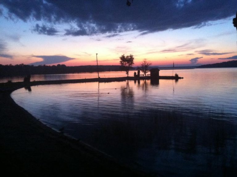
I didn’t bring a depth sounder, but the lake did begin to seem inkier and more fathomless as I paddled. It also seemed quieter and more beautiful. I saw only one other boat the day I was there, an aluminum boat with a small motor, whose occupant was quietly fishing. Personal watercraft are banned on Otter Lake, as is any boat motor over 9 horse power, so even in the busiest months of summer, I expect this lake is pretty peaceful.
Peaceful as it may seem, however, there are Ojibwe beliefs associated with the lake that suggest reason to be wary and respectful of its depths. In the book The Island of the Anishnaabeg, by Theresa Smith, both the late Mamie Migwams and Raymond Armstrong spoke about the presence of Mishebeshu, a lynx-like serpent with a long tail and horns.
When I spoke to Alan Corbiere about this, he acknowledged the traditional belief but was reluctant to name the spirit. “Some people, myself included I guess, don’t want to mention the name of the spirit, because he’s awake now, we don’t talk about these spirits in the summer, just the winter.
But he wasn’t averse to talking in general about the belief. “The idea, which doesn’t just occur here but on Lake Superior and across the whole region, is that these spirits live under the earth, and the way that they travel is through cracks, popping up in certain lakes.” Like Quanja Lake in Wiikwemkoong Unceded Territory, and Manitowaning Bay whose very name, properly Mnidoowaazhig, means “den of the spirit” or “subterranean cave of the spirit” in Ojibwe. Otter Lake is unusually deep, says Mr. Corbiere, with “a precipitous drop-off.”
And like Quanja Lake, it had been said to have and unusual colour, or “bad colour,” as some elders describe it in the Theresa Smith book.
As well, notes Mr. Corbiere, Otter Lake is a “high level lake,” considerably higher in altitude than either Lake Mindemoya or Lake Manitou. This, combined with its depth, fuels ideas of underwater passageways leading to the larger lakes.
Twin Peaks B&B
Cedar Grove Cottages
Pirate’s Cove Cottages
Island Spring Cottages
Island Sunrise Cottages
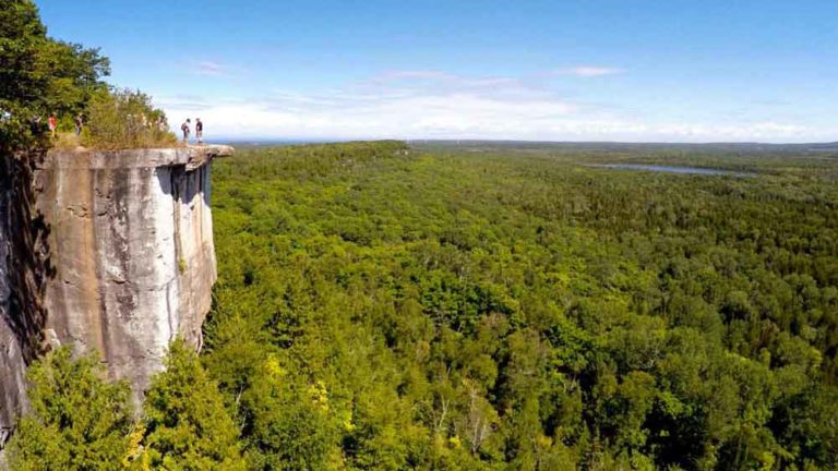
Cup and Saucer Trail

Big Lake
Lake Mindemoya
Maja’s
Wagg’s Wood
Mindemoya’s Pioneer Museum
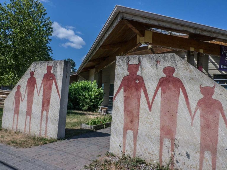
Ojibwe Cultural Foundation
Lillian’s Museum

Golf
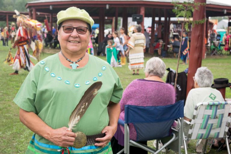
M’Chigeeng First Nation Traditional Powwow
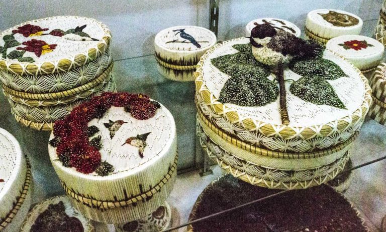
Lillian’s Crafts

Neon Raven Art Gallery
Up Top Sports Shop