Watersedge Pub & Restaurant
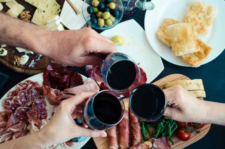
Watersedge Pub & Restaurant Casual Dining • Takeaway Wheelchair Accessibility Wi-Fi Licenced About Watersedge Pub & Restaurant Watersedge Pub and
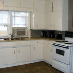
Gore Bay Manitoulin Hotel
Gore Bay Manitoulin Hotel Gore Bay Gore Bay Manitoulin Hotel has 5 completely equipped suites including full kitchens, barbecue &
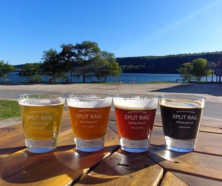
Split Rail Brewery
Split Rail Brewery Brewery • Gore Bay About Split Rail Brewery Founders Andrea Smith & Eleanor Charlton created Manitoulin Island’s
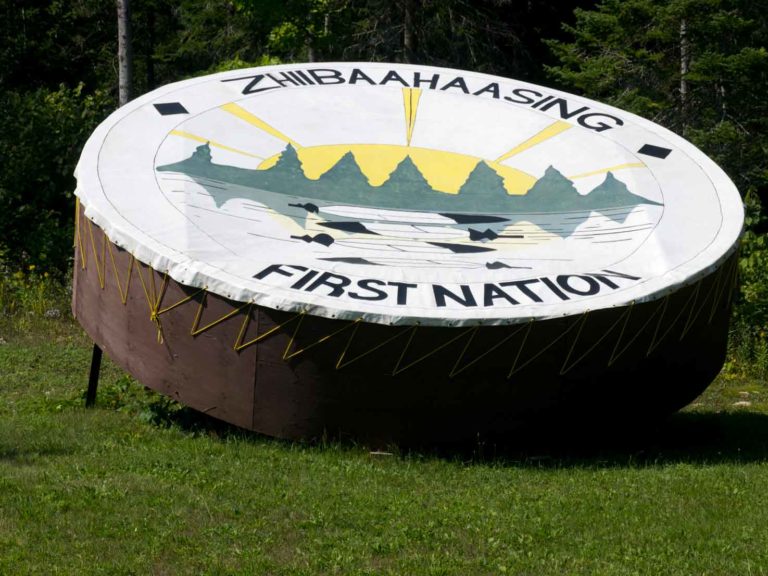
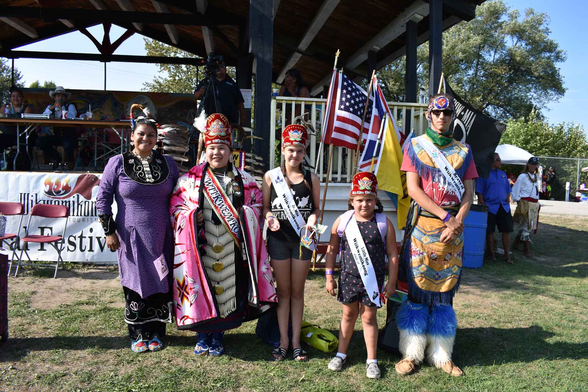
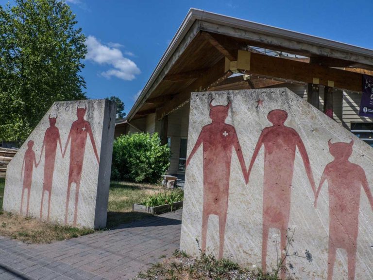
Zhiibaahaasing First Nation Traditional Powwow
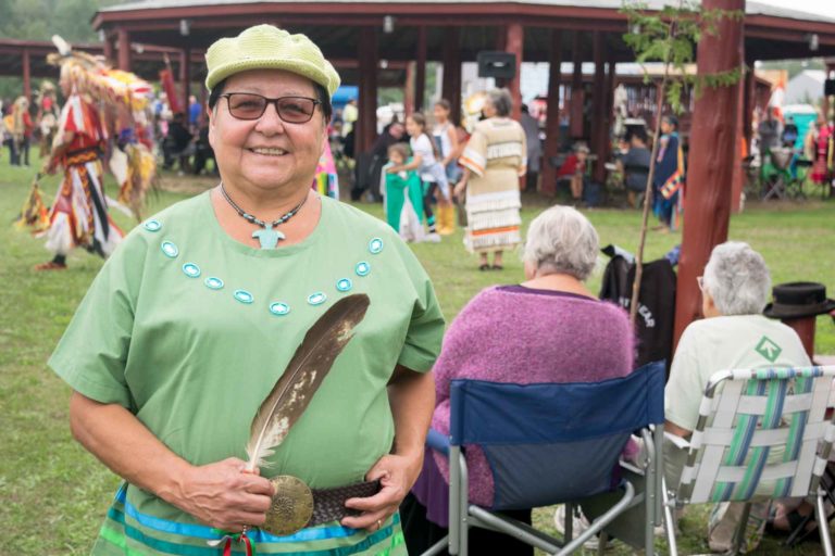
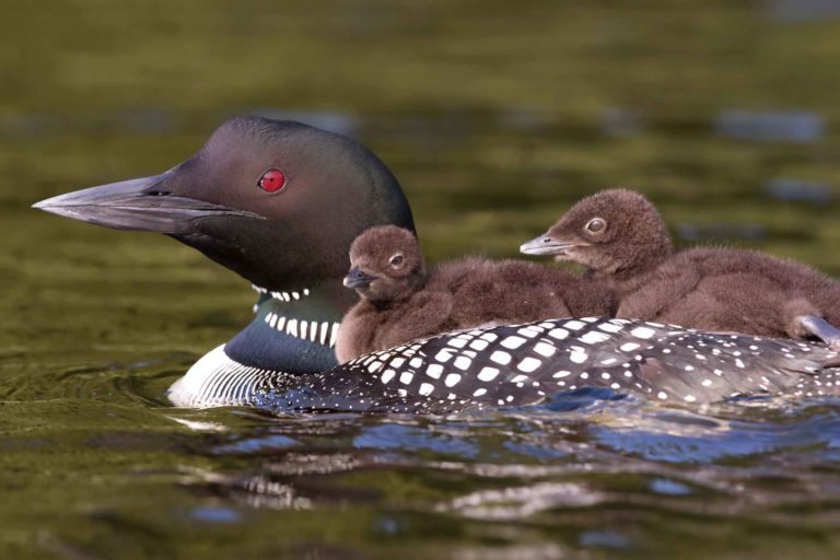
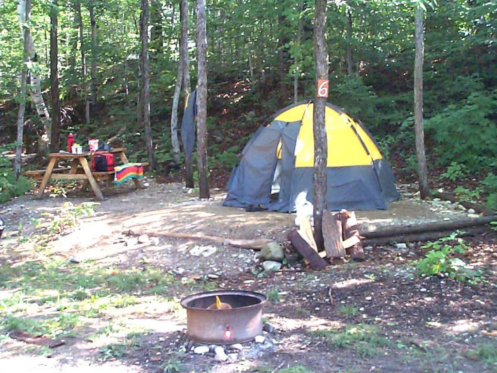
Zhiibaahaasing First Nation Traditional Powwow August 19th & 20th Zhiibaahaasing First Nation is home to three monumental installations: the World’s
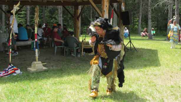
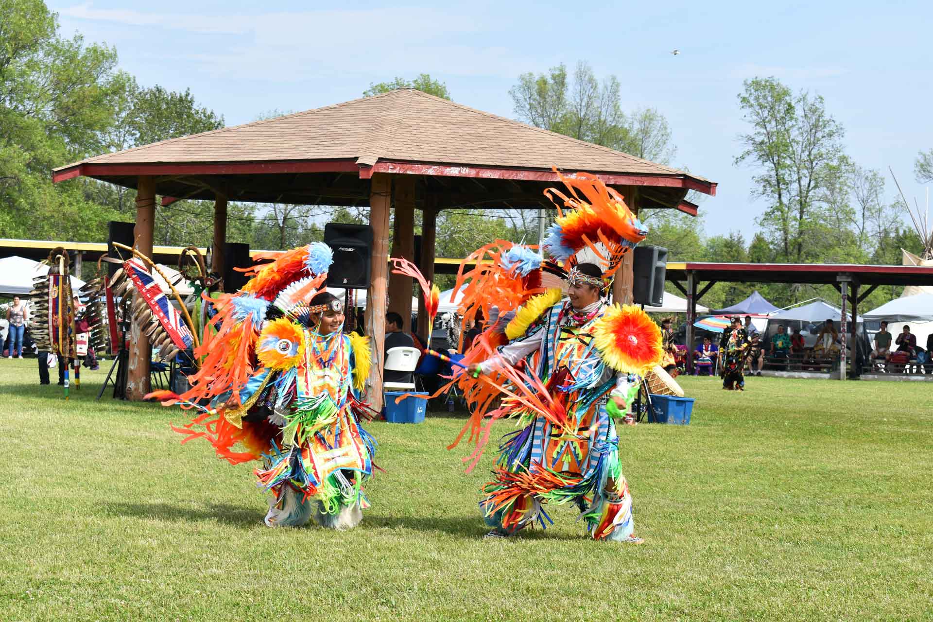
Sheshegwaning First Nation Traditional Powwow
Sheshegwaning First Nation Traditional Powwow June 17th & 18th Sheshegwaning First Nation is located on the western portion of Manitoulin

Theatre
Live Theatre on Manitoulin Manitoulin Island is able to boast three theatre groups, each of them unique Burns Wharf Players

Golf
Manitoulin Golfing If you’re a golfer, by all means pack your clubs and come to Manitoulin Island. Manitoulin is a

Canadian Yacht Charters
Canadian Yacht Charters • Discover the magnificent North Channel • Located on Manitoulin Island, CYC offers the finest selection of
North Channel Cruise Lines
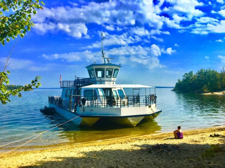
North Channel Cruise Lines • Discover the magnificentNorth Channel • We offer a variety of maritime services on the waters
Purvis Marine Museum
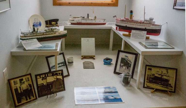
William Purvis Marine Museum Gore Bay Overlooking the distinctive V-shaped bay bordered by the lushly-cedared heights of the East Bluff
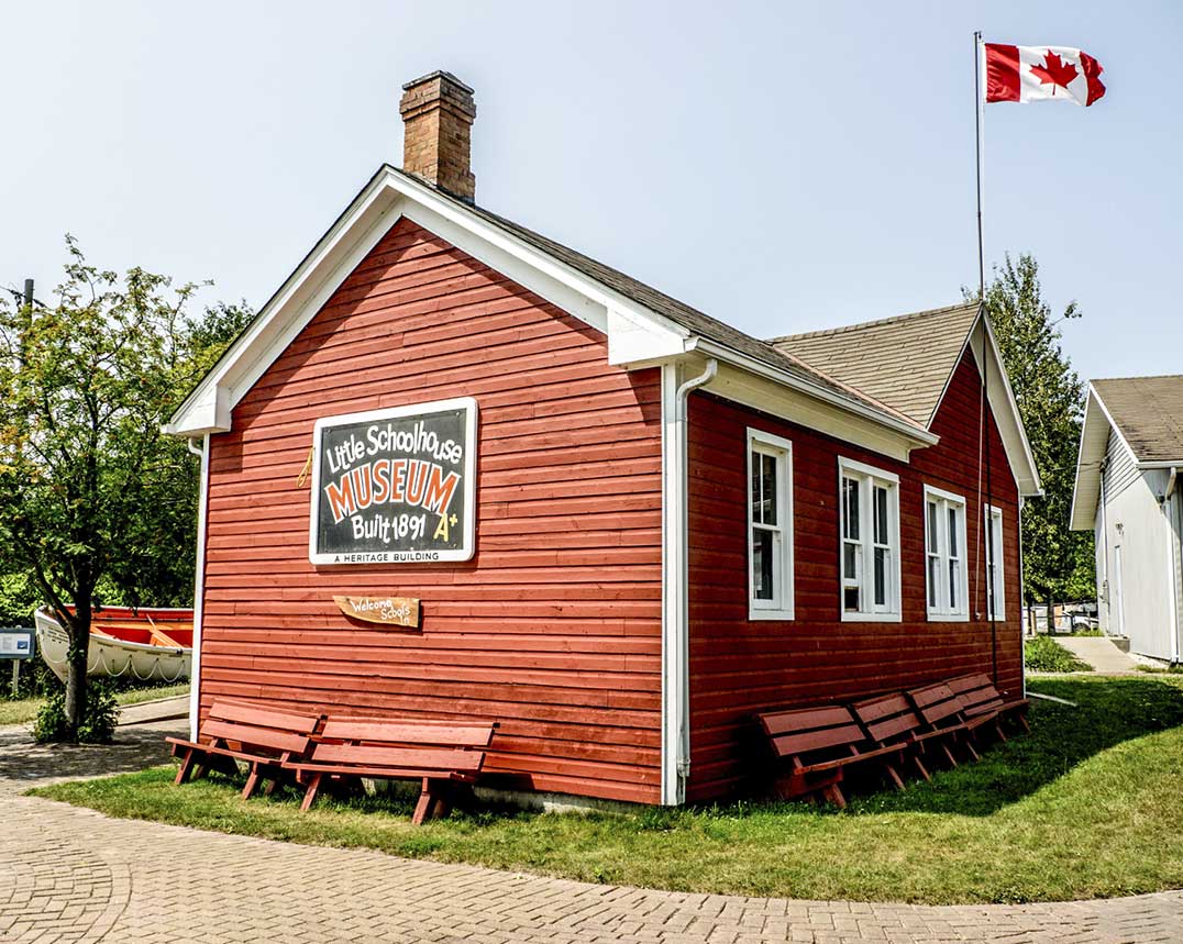
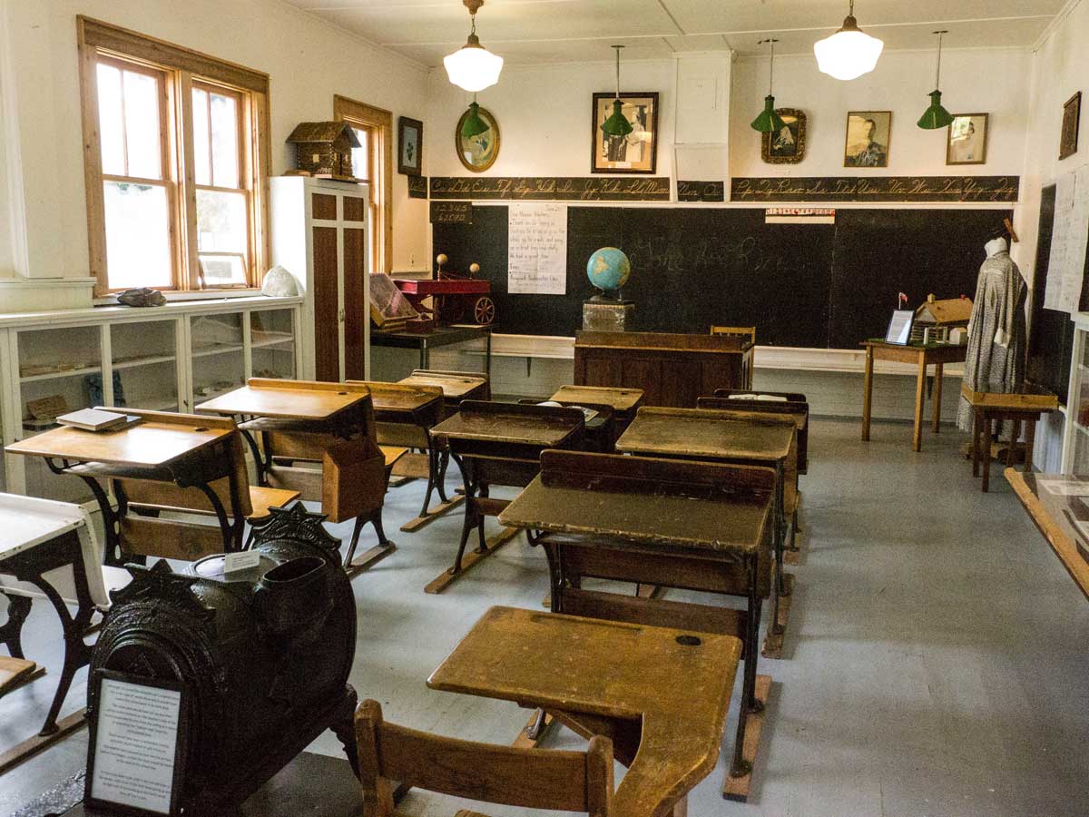
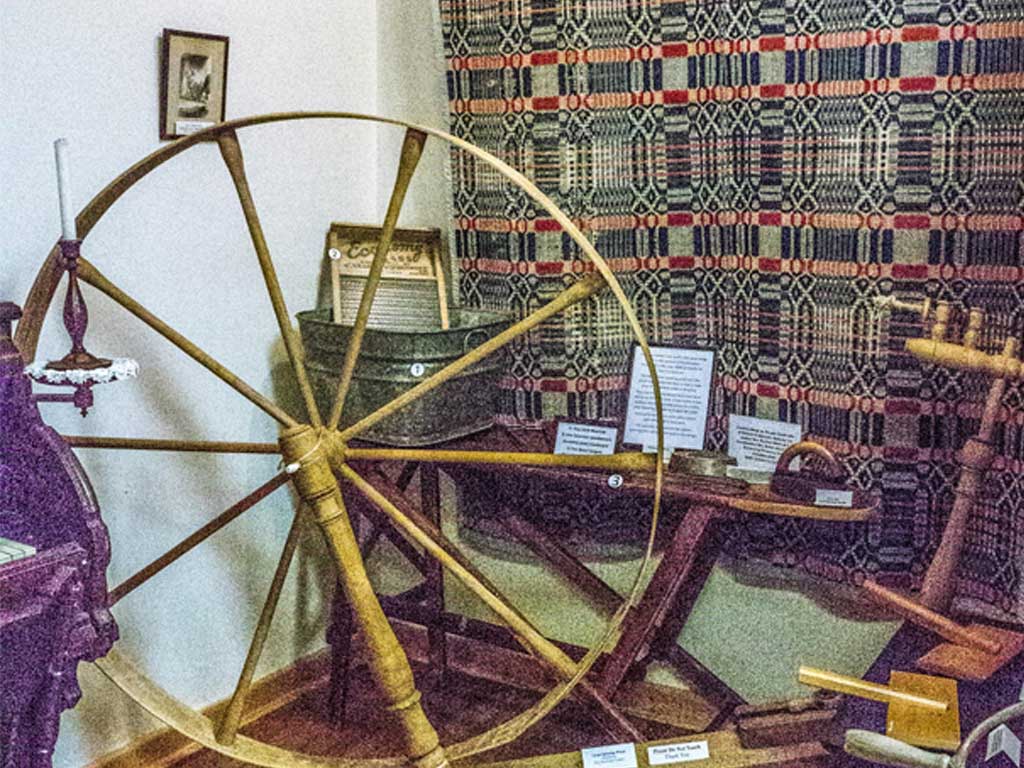
Gore Bay Museum
Gore Bay Museum Gore Bay Tucked into a hillside in the town of Gore Bay, a complex of limestone buildings
Noble Nature Trail
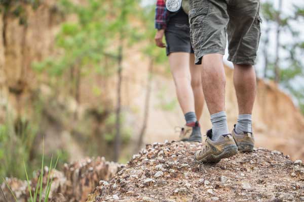
Noble Nature Trail Difficulty ★ • Approx. 2 – 4 Hours Car Park Public Toilets Pet Friendly Wheelchair Accessible

Sheshegwaning – Nimkee’s Hiking Trail
Sheshegwaning – Nimkee’s Hiking Trail Difficulty ★★ • Approx. 3-6 Hours Car Park Public Toilets Pet Friendly Wheelchair Accessible

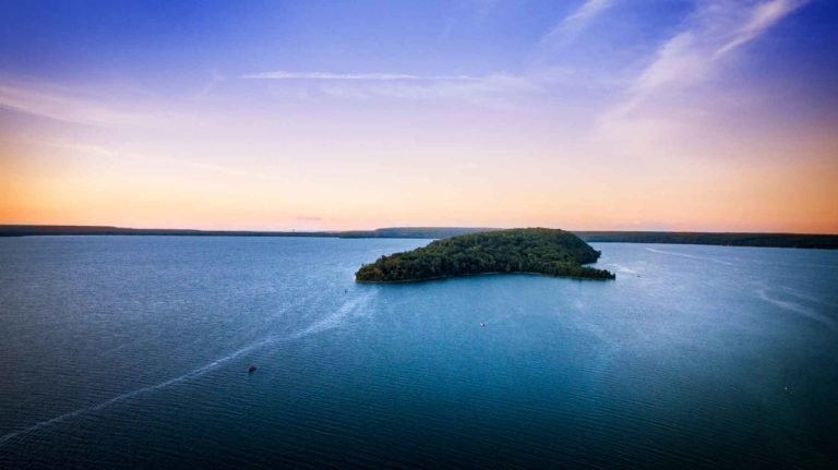
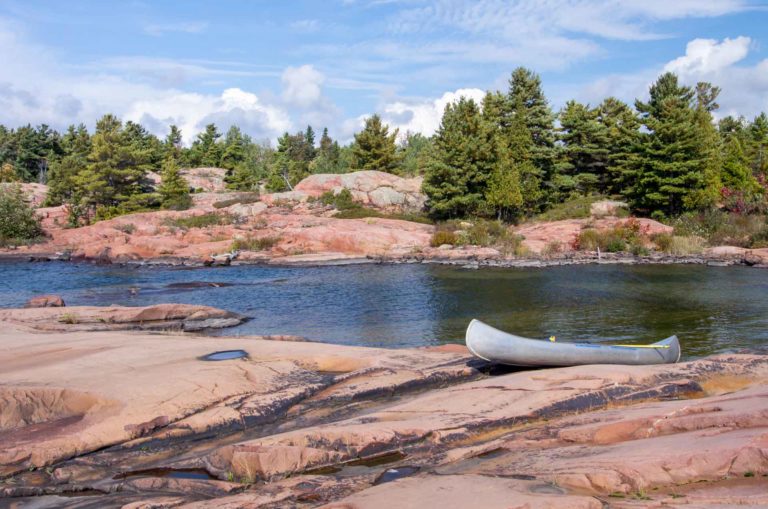
Misery Bay
Misery Bay Difficulty ★★★★ • Approx. 2 – 4 Hours Car Park Public Toilets Pet Friendly Wheelchair Accessible About the

Gore Bay Boardwalk Trail
Gore Bay Boardwalk Trail Difficulty ★★★★ • Approx. 2 – 4 Hours Car Park Public Toilets Pet Friendly Wheelchair
Codmothers
The Codmothers’ Family Dining • Takeaway Wheelchair Accessible Licenced Wheelchair Accessible Licenced About The Codmothers’ This fully licenced family restaurant in
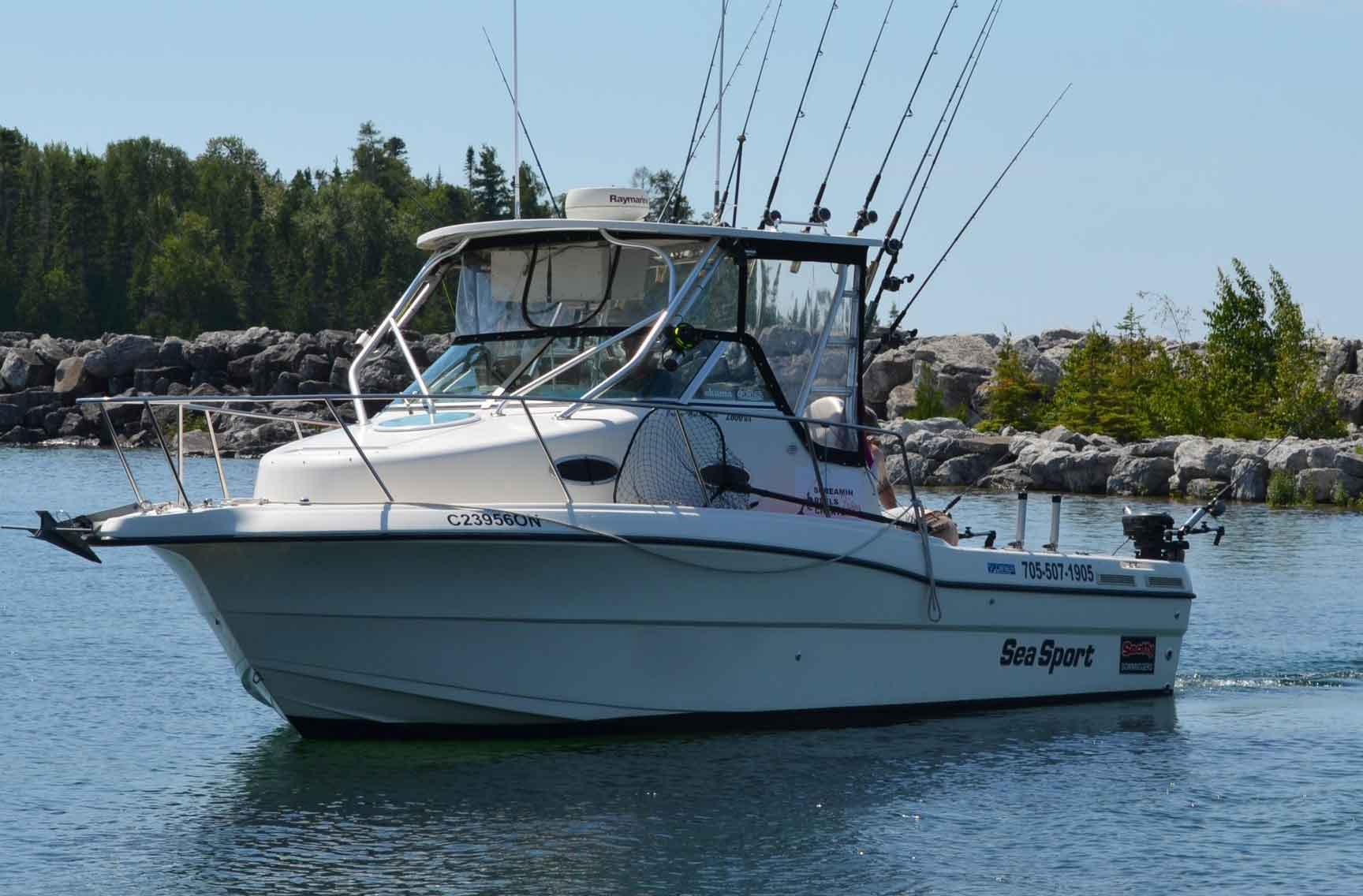
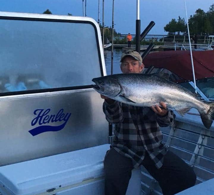
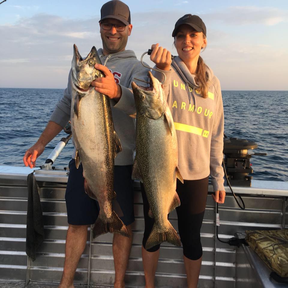
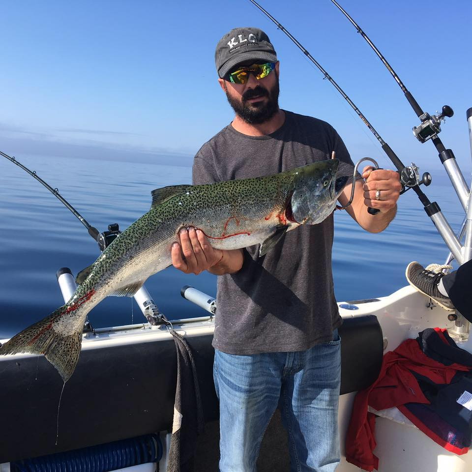
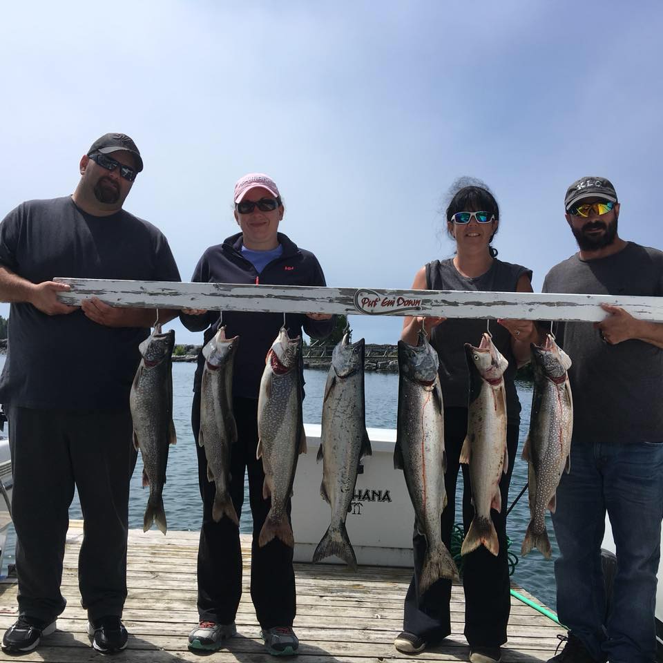
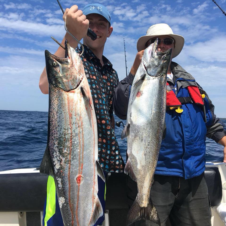
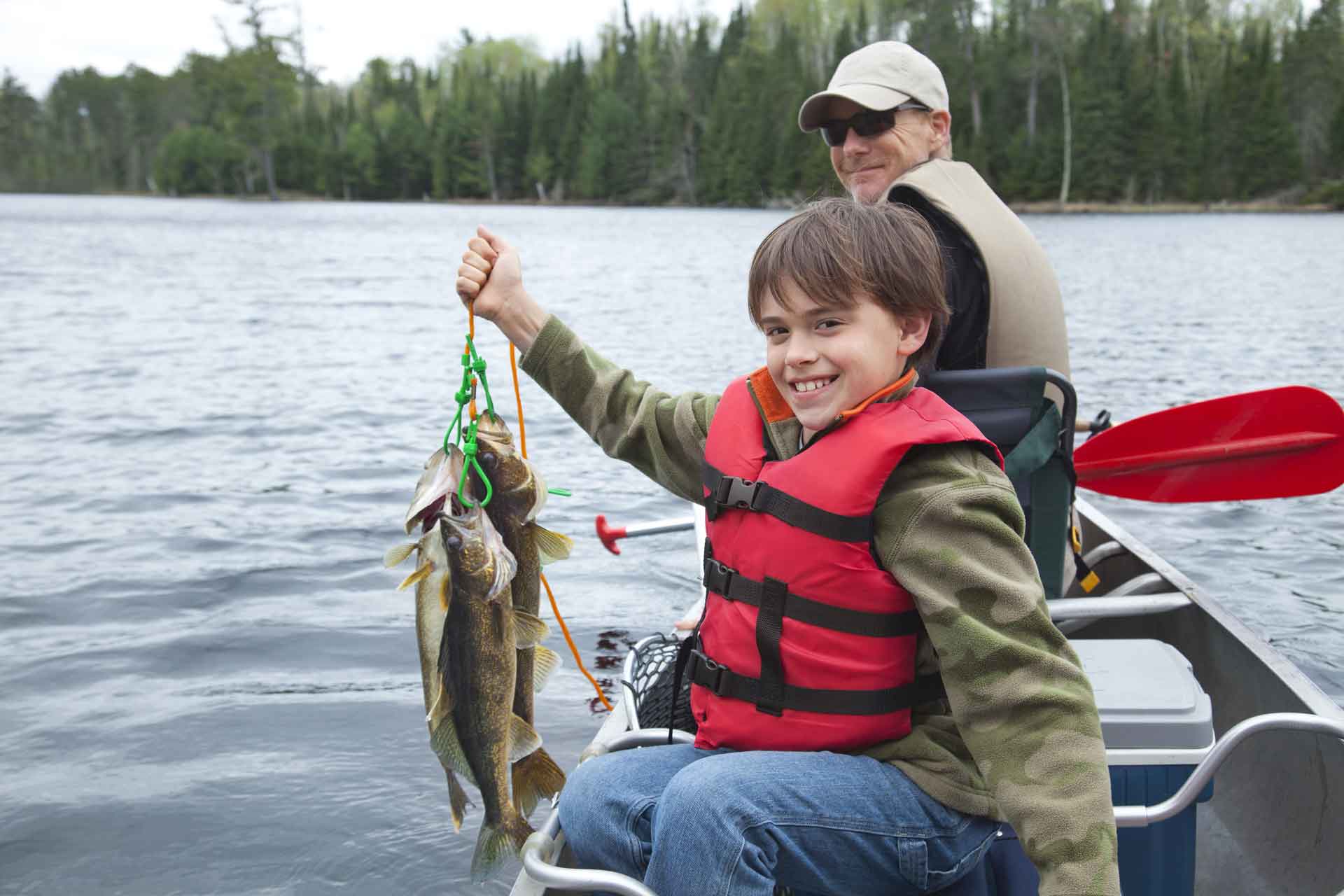
North Channel
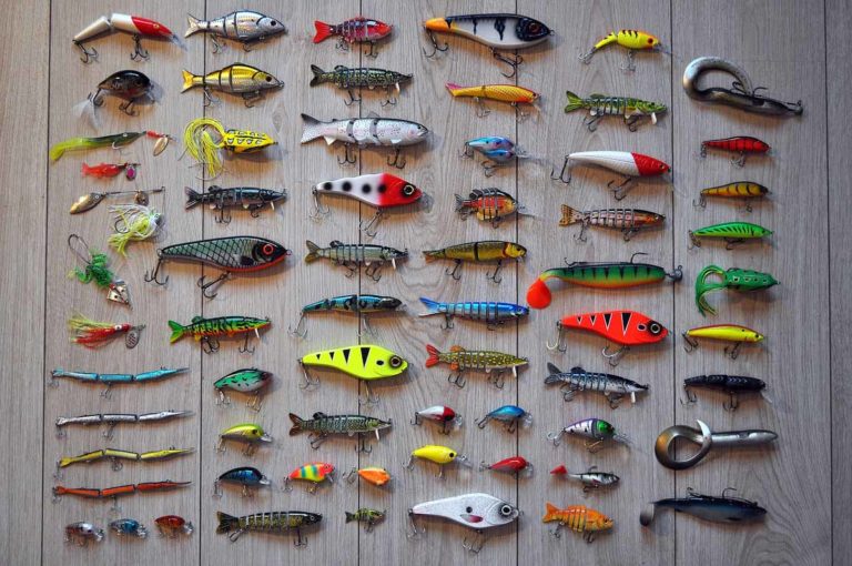
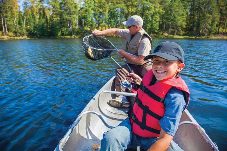
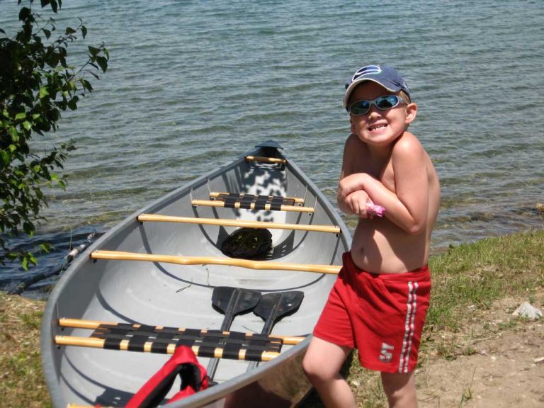
North Channel Keen fishermen may find: Perch Muskie Pike Bass Walleye Salmon Rainbow Trout Lake Trout About the North Channel NORTH CAHNNEL—The
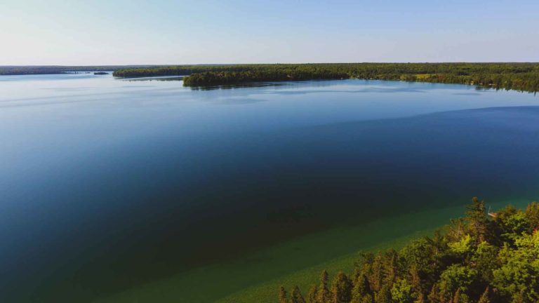
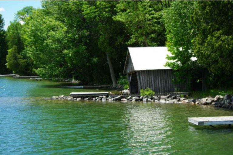
Lake Wolsey
Lake Wolsey Keen fishermen may find: Perch Pike Rainbow Trout Bass About Lake Wolsey Perhaps the most striking thing about Lake
Ice Lake
Ice Lake Keen fishermen may find: Perch Pike Bass About Ice Lake A shallow, reedy, but surprisingly extensive lake located between
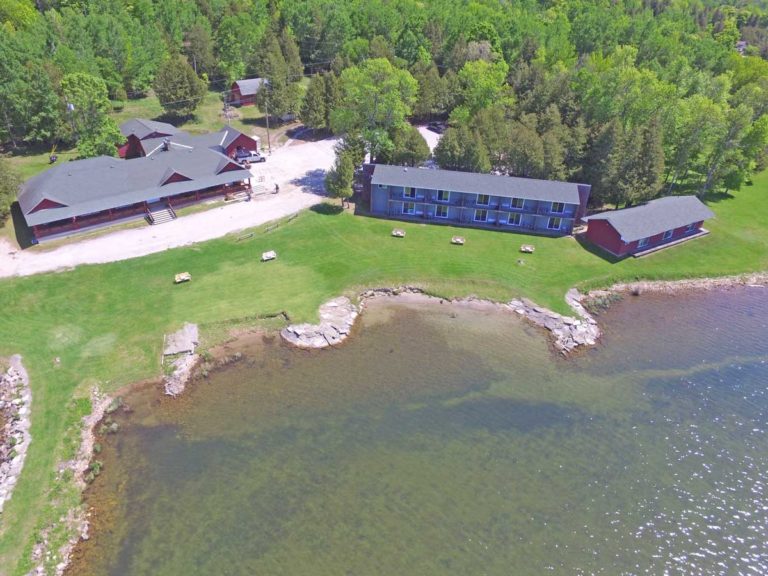
The Inn at Gore Bay
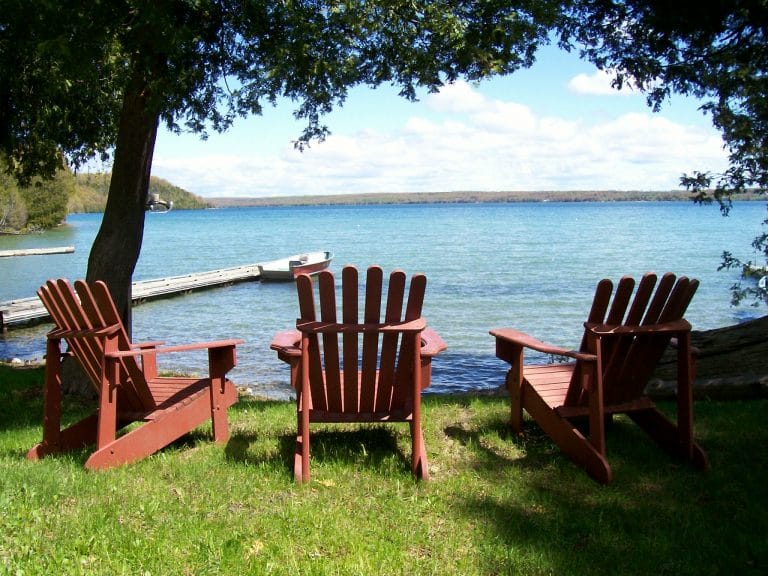
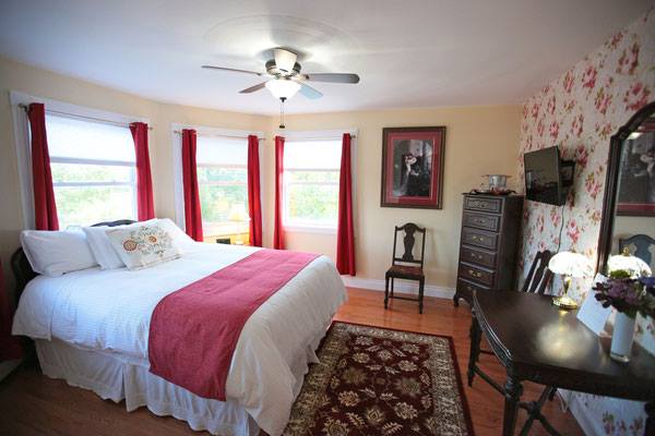
The Inn at Gore Bay North Channel A boutique motel (deluxe rooms) offering an unparalleled view across the bay towards
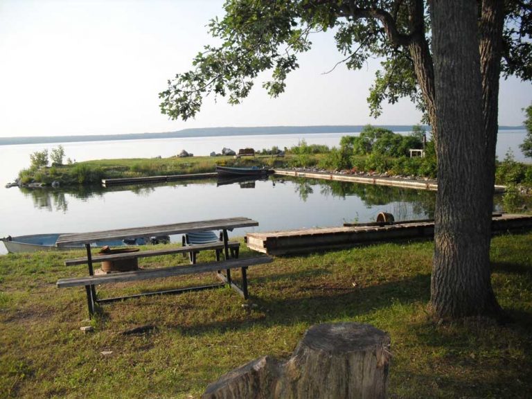
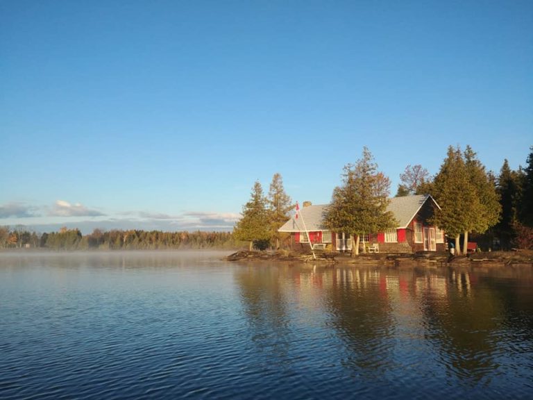
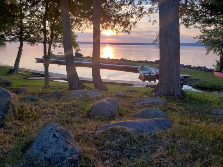
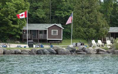
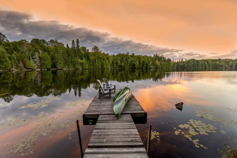
Lake Wolsey Cabins
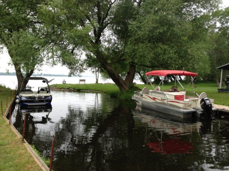
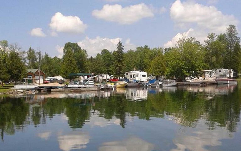
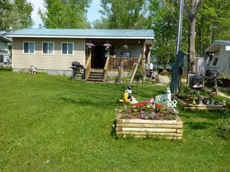
Lake Wolsey Cabins Lake Wolsey We’re on a large bay off the North Channel, which is to all intents a