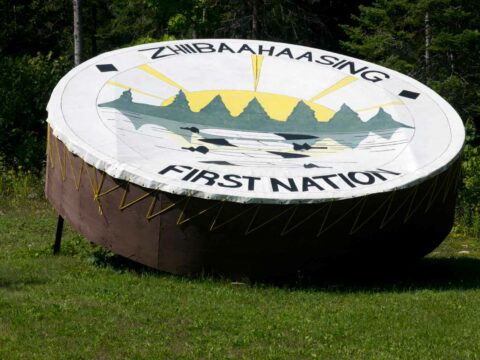
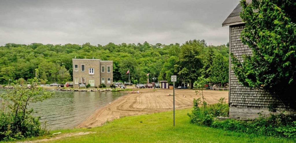
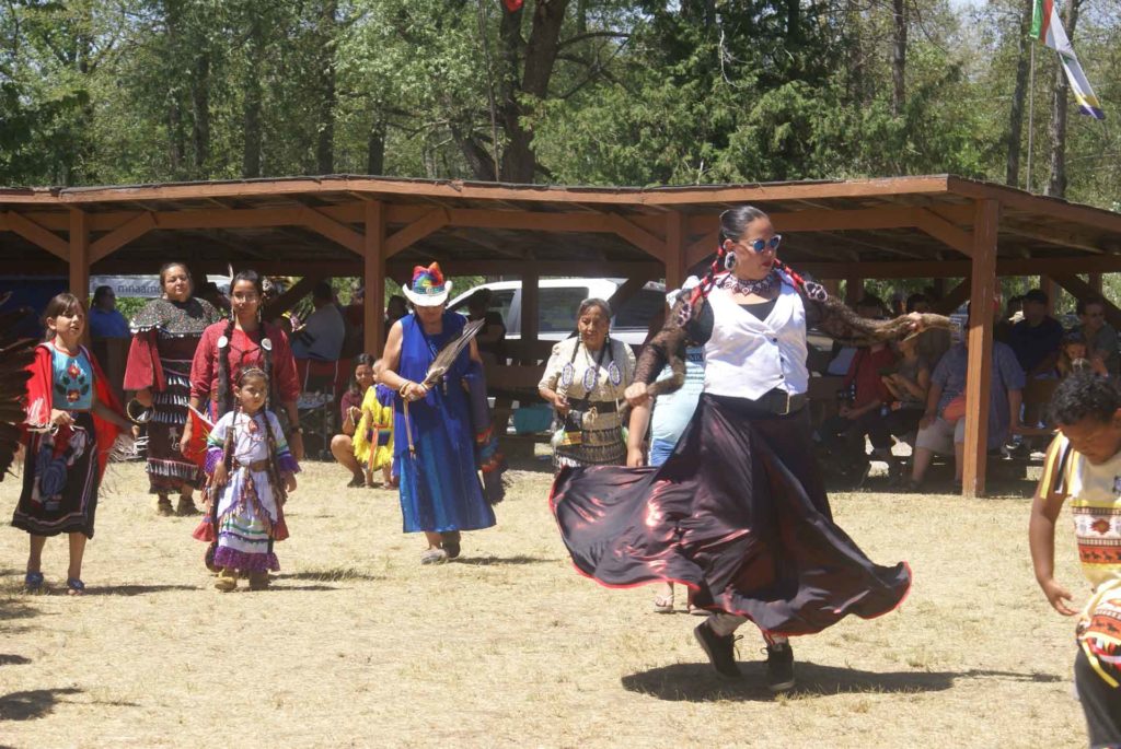
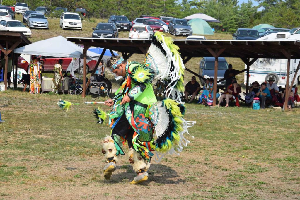
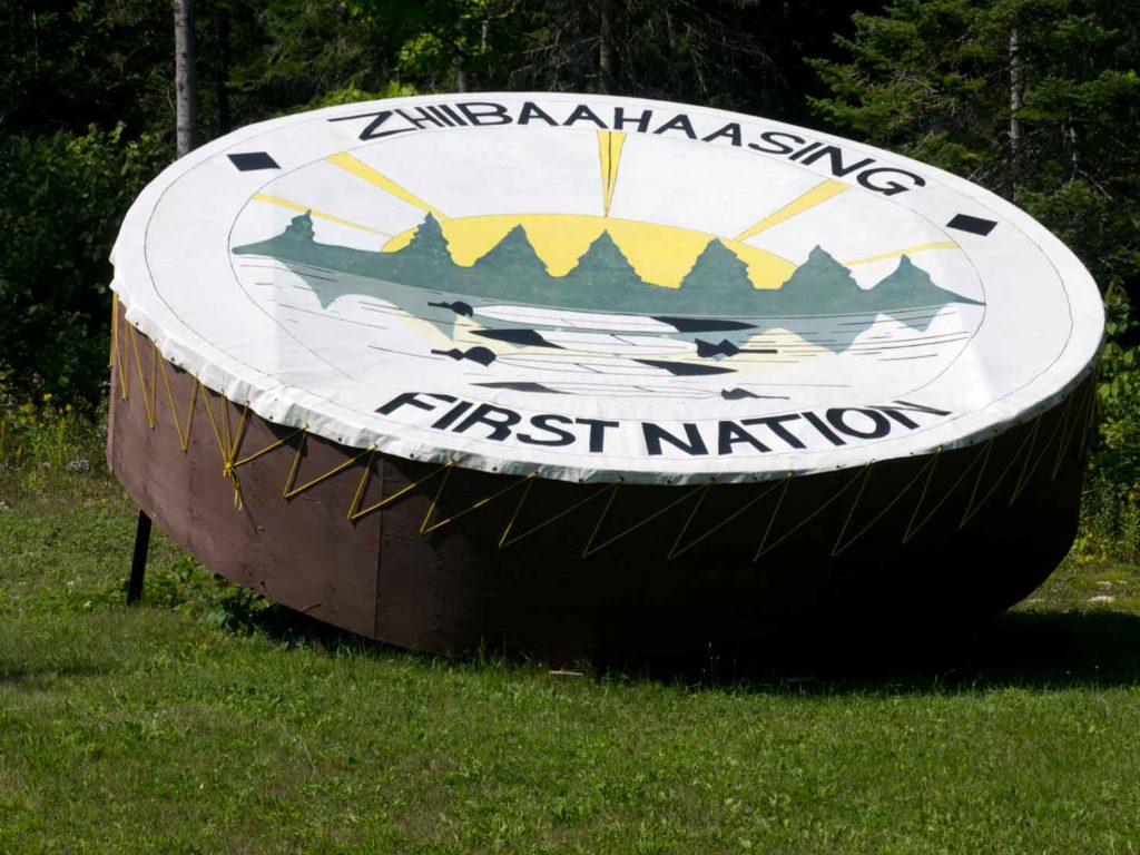
Zhiibaahaasing First Nation is home to three monumental installations: the World’s Largest Peace Pipe, the World’s Largest Dream Catcher and the World’s Largest Powwow Drum and when anyone visits the Zhiibaahaasing Traditional Powwow the fourth weekend in August each year, they will also be visiting these much larger-than-life monuments which are adjacent to the powwow grounds in the community. Expect good hospitality and an ample number of food and crafts vendors at the event. Zhiibaahaasing First Nation is accessed through the same road that leaves Highway 540 five kilometres west of the hamlet of Silver Water and is the entry to Sheshegwaning First Nation. Follow the road through Sheshegwaning to Zhiibaahaasing.
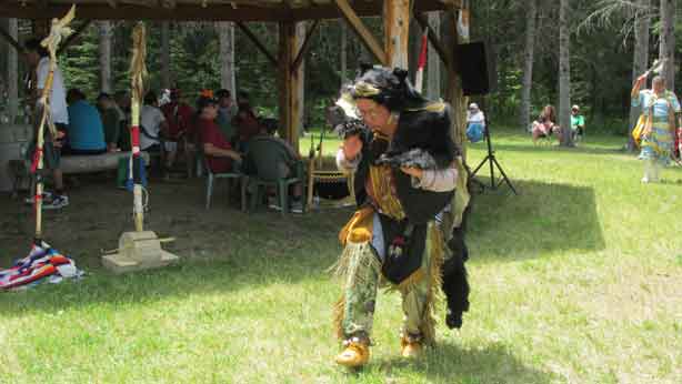
Sheshegwaning First Nation is located on the western portion of Manitoulin Island and its entry point off Highway 540 is five kilometres past the hamlet of Silver Water. Its traditional powwow is held the third weekend in June each year and visitors find it a friendly place to enjoy the dancing and drumming and visit the many traditional food and crafts vendors.
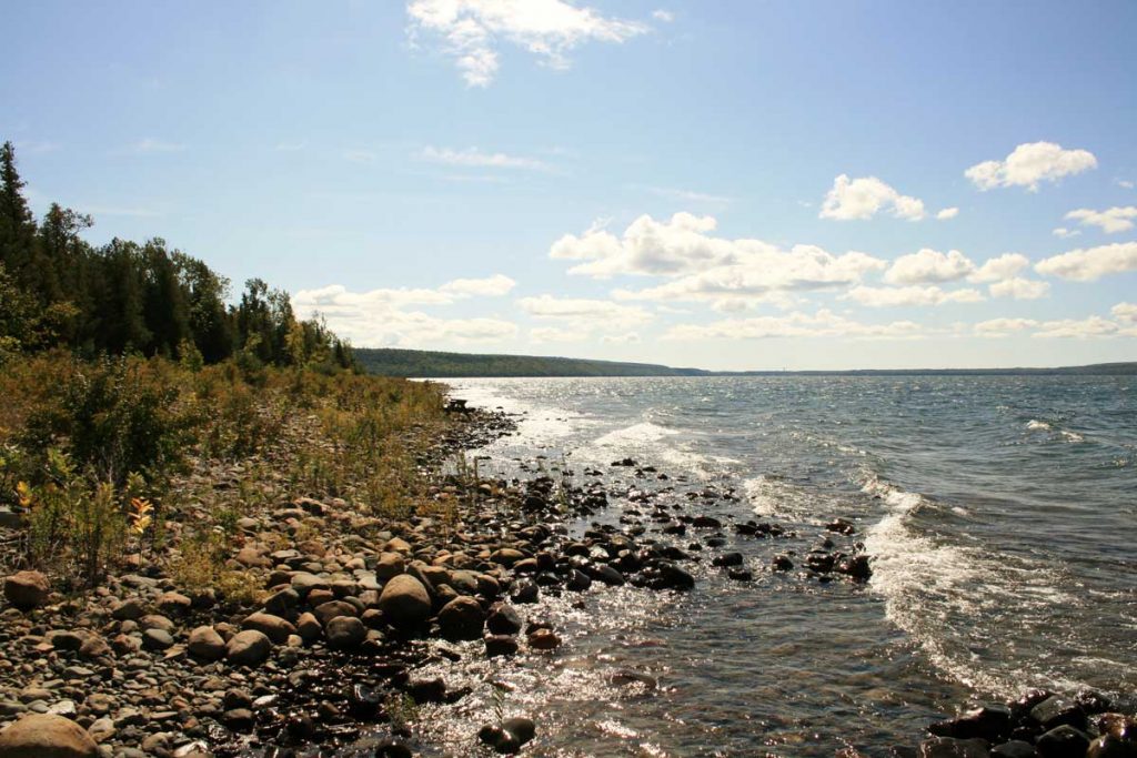
Nearly 150 years ago, Meldrum Bay began to be settled by Scots coming to Manitoulin Island from southern Ontario, attracting fiercely dogged, independent-spirited types drawn by cheap, plentiful land covered in virgin forest and the immeasurable waters of Lake Huron teeming with fish.
Working with the first survey party of 1876 in Dawson township, the original settlers staked their claims, under which conditions they had to clear and fence five acres and build a house (usually a two-room log cabin) before they could own their land’s title. Then, they would venture over the water to Cockburn Island’s land office to acquire their patents–two settlers drowned on that treacherous journey–or by foot in all-weather through bush to Gore Bay’s land office. The hardships, the harsh winters and lack of even the most basic supplies, the isolation and backbreaking work of survival, the innovations and small victories of those days are stuff of legend. No roads, electricity, telephones, doctor or dentist softened the tough, often brutal, way of life.
In the early 1880s, lumbering quickly became a thriving industry everywhere on the Island, with sawmills built in all the feasible ports for easy transport of logs and lumber by boat to the US and England. Meldrum Bay’s fist sawmill was built in 1880, situated where the marina sits today, hiring hundreds of workers to process the huge quantities of wood being harvested up, down and around the Island’s western tip.
Fishing also became big business; fish abounded in these Great Lakes waters and the 1890s saw fishing stations built to supply the boats from Collingwood and Sarnia with as much as 24 tons of fish weekly.
Several net sheds ringed the bay, their rooms and attics large and airy workshops in which to dry and repair nets; the day’s catch was packed for shipping and the fishermen prepared for the next morning’s pre-dawn start on the lake. In a few short years after settlement, Meldrum Bay was a boomtown with stores, hotels, blacksmiths, school and boarding houses to service the flourishing community.
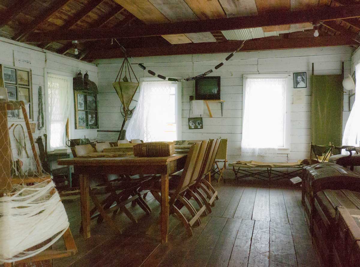
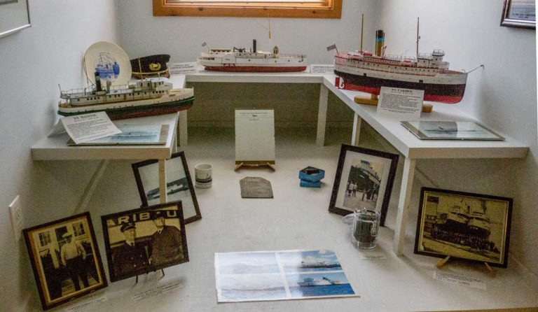
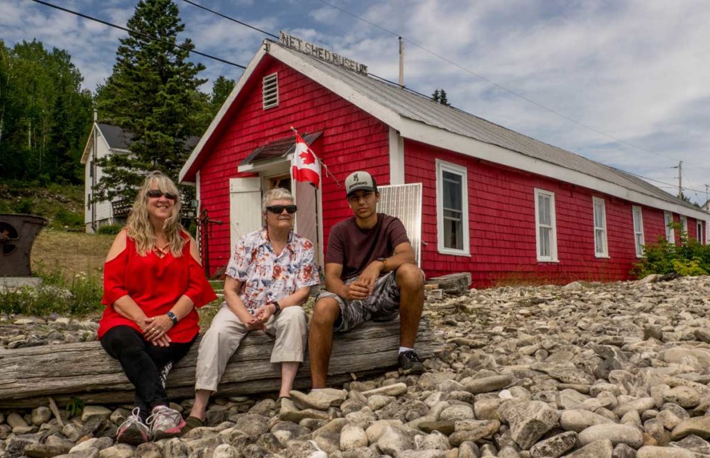
Now home to the Net Shed Museum, the last remaining net shed in the bay, built by fisherman Joe Millman in about 1902, stands resplendent in its lighthouse-red, original cedar shakes. The long, rustic building offers itself to be savoured as a unique historical artifact in its own right.
Inside, small windows on three sides and wide screened doors on the fourth side let in a surprising amount of light through gauzy curtains; the wide plank floors, heavy log rafters and poles supporting the ceiling testify to the handmade origins of the structure.
Founded in 1967 by the Meldrum Bay Historical Society as a Canada Centennial project, the museum is maintained scrupulously inside and out by a dedicated band of community volunteers. Across the road in Joe Millman’s old family home lives the treasurer of the Historical Society, Dawn Marie Wickett, a descendant of Millman’s through marriage into the Millman/Wickett families. She can look out her front windows and keep an eye on the net shed all year long while her husband Mark keeps up with improvements. Nephew Adam George Wickett is this year’s summer museum intern who greets visitors and keeps the place spiffy; a high school student, he lives in Brampton and loves to re-live Meldrum Bay summers and stay with his grandmother. The president of the Historical Society is Liz Durham, who lives just up the hill and has been active in the museum since its founding, taking part, with other volunteers, in the annual opening of the museum in spring and closing in fall and in dreaming up fundraisers such as the popular annual beef barbecue.
Community members donated all the museum’s artifacts: jewellery, beaded appliqués and sewing baskets, photographs, linens, washtubs and irons, butter churn and moulds, quilts, school desks and blacksmith and farming implements. “Remember,” says Liz Durham, “electric power only came to the village in 1950. Until then, people used coal oil lanterns and phones were hand-cranked.” One donation, from the Joyce family, was of two large steamer trunks full of beautiful clothes and trimmings that had been owned by their “two elegant Irish dressmaker cousins.”
Toward the back of the shed, artifacts from the steam mill, a leather blacksmith apron and tools lead the way into the marine history room, centered by a library table covered in scrapbooks for browsing. Models of Millman’s tugs, named after his daughters, sit in glass cases; memorabilia from the ‘Alberta’ include a hand-fashioned horse motif weather vane and steam whistle.
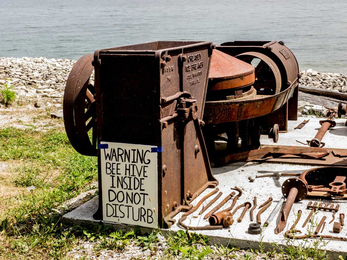
The vast waters of Lake Huron lapping the rocky shore just a few feet outside the windows provide the nautical backdrop to one of the greatest marine mysteries of Manitoulin Island. Here, laid out in timbers and chains and fascinating found bits, is a display of ‘Le Griffon’–a French ship that sank in the Mississagi Straits in 1679. Or did it? Stories have proliferated over the years, of how the ship, navigating by compass, was drawn helplessly into the infamous magnetic shoals; of the skeletons of crew members found in a nearby cave, including a “very large” skull, said to be that of the pilot, Luke the Dane, known to have a very large head; of the found watch case, buttons and coins stored for years in the Mississagi Lighthouse before vanishing. It is a story that has fascinated people in these parts and abroad for centuries and remains an unsolved puzzle to this day.
Even now, Meldrum Bay retains the spirit of rugged determination that marked its beginnings. The Township of Dawson is officially ‘Unorganized’ – there is no municipal council, nor reeve, to run things. Says Liz Durham, “All public works in the township and the village of Meldrum Bay are done by volunteers. The Dawson Citizens Improvement Association raises money and volunteers to put the marina docks in and take them out every year; we applied for and got grants for the re-installation of gas tanks and pump-out service. A Service Board collects taxes to pay for snowplow and dump contracts; there’s no water department, everyone has their own water. When we need to get things done, we do it ourselves, together.”
The Net Shed Museum is a moving testament to the resolve and perseverance of the generations who pioneered here, and to a very large extent in this faraway outpost, still do.
1 Water Street, Meldrum Bay. Open Tuesday to Sunday, 12 pm to 4 pm and to 9 pm in July and August.
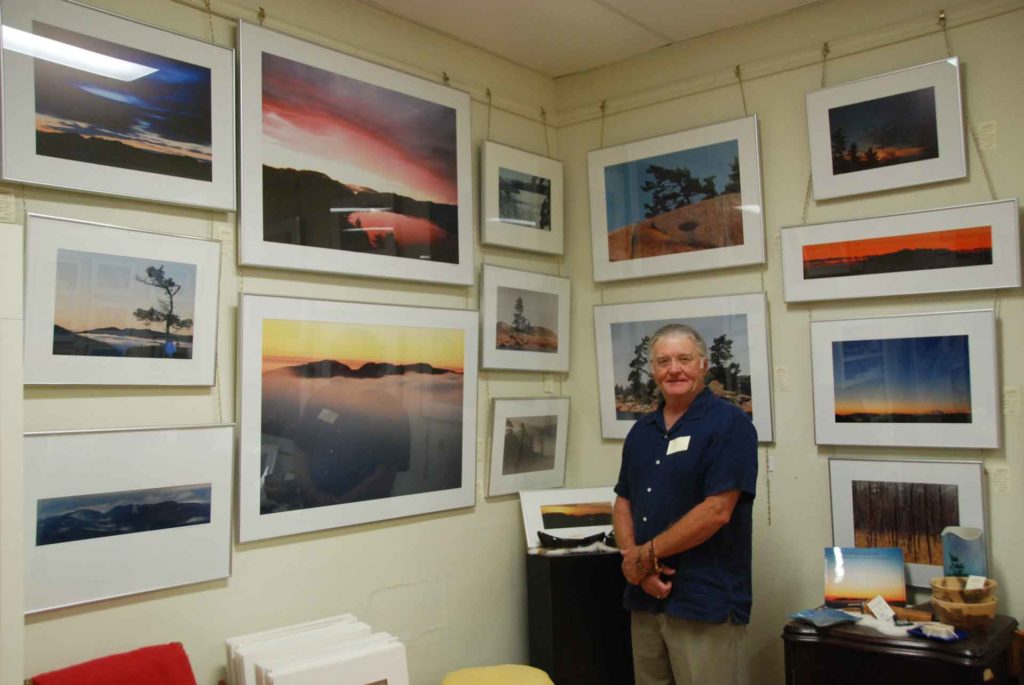
Isobel Harry is a photographer and writer who has also worked extensively in the field of human rights advocacy. Her photos have been widely exhibited and she has published articles in many magazines; as programmes director and executive director for PEN Canada for twenty years, she worked on behalf of the right to freedom of expression internationally.
Now living on Manitoulin Island, Isobel works as a freelance writer and photographer and is a frequent contributor to the weekly Manitoulin Expositor newspaper and the annual This is Manitoulin magazine.
Her interests lie at the intersection of arts, culture and human rights.
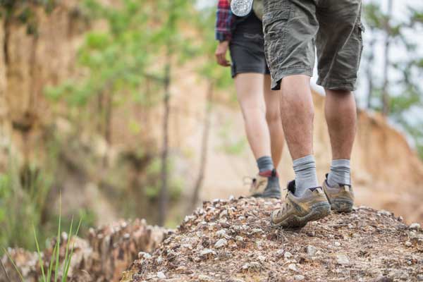
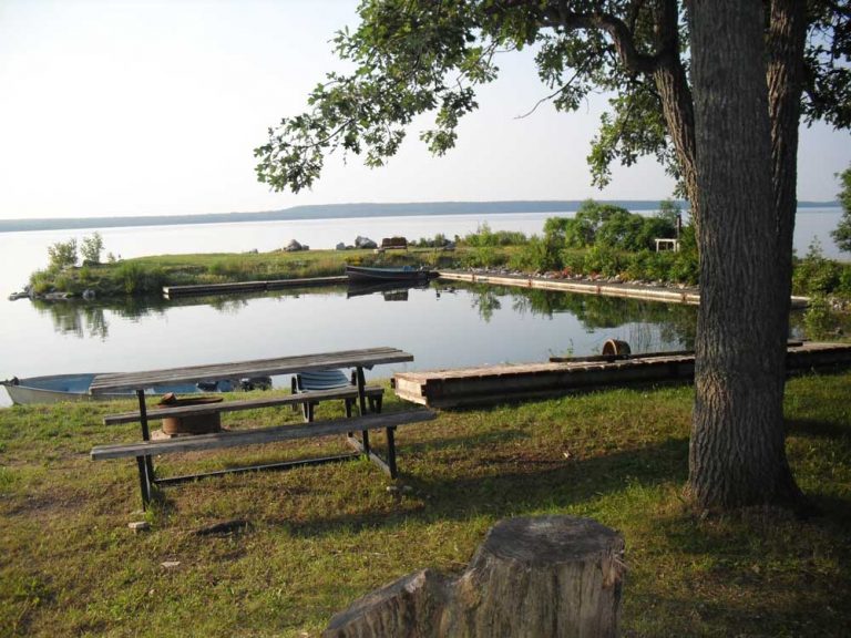
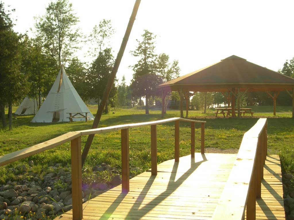
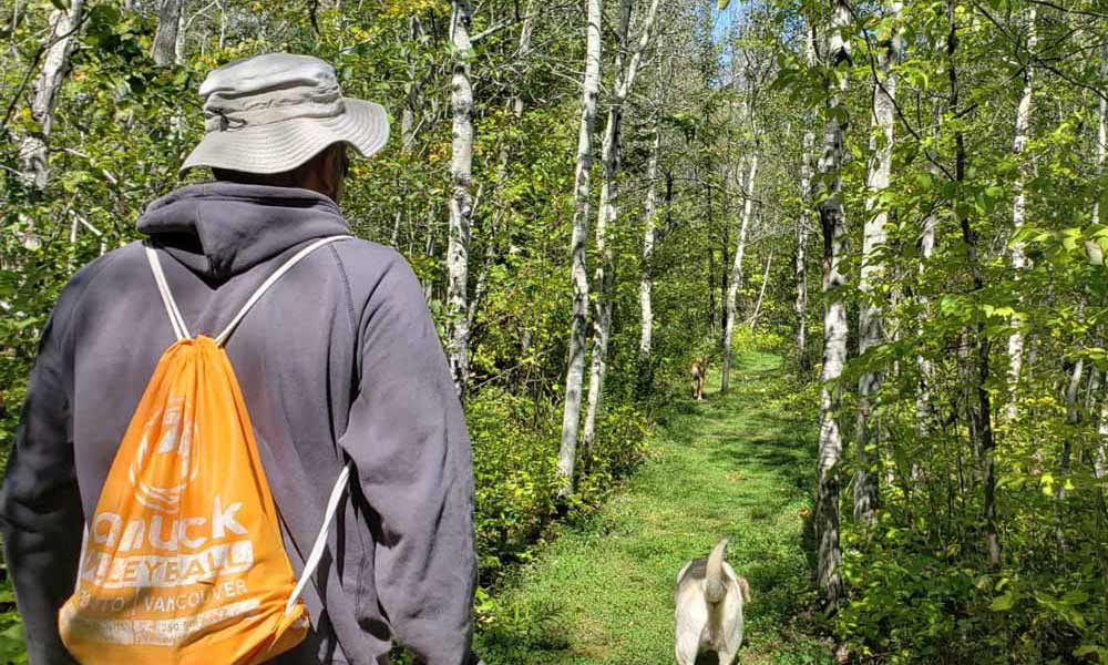
North of Silver Water, off Hwy 540, the Sheshegwaning First Nation is developing a 20km trail, which can be enjoyed in several sections, some offering wonderful views of the North Channel. There are facilities for camping and picnicking, Trail maps are available at the Band Office or at the Gas/ Convenience store at the trailhead. Allow 3 to 6 hours.
You may wish to bring:
Water
Snacks
Camera
Compass
Tips from a Local
Manitoulin hikes can to have a lot of elevation changes over rough terrain. Be sure to pack plenty of water for each person and carry it in a backpack or other hands-free carrier. That way, you’ll have your hands ready to help navigate the trails.
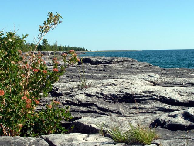
Misery Bay Provincial Nature Reserve is a 860 hectare provincial park on the south shore of Manitoulin Island, a ten minute drive west of Evansville. There is a trail network of eight trails totalling approximately 16 km (one way) and ranging in length from 0.2 km to 4.8 km (one way). The trails feature mixed woodland, old beach ridges, and rare alvars. There is a visitor centre/interpretive centre to educate the public about this unique area. There is an easy loop of 4.1 km from the visitor centre consisting of the Lakeshore and Wolf Den Trails.
Some of the longer hikes on Manitoulin can take hours to complete. Pack some trail snacks in reusable containers to keep your energy up and make sure to not leave any scraps on the trail.
Visitors enroute from Gore Bay to Meldrum Bay driving along Highway 540 west, when they reach the hamlet of Silver Water might be puzzled over the village’s curious absence of silver water.
The earliest settlers in this part of Manitoulin’s West End though, experienced no shortage of shiny H2O.
According to the late Arthur Edmonds, in his “Early History of Robertson Township,” the first community picnic was held, not in the village, but on the shores of nearby Silver Lake.
A secluded, sandy-bottomed and, yes, shimmering stretch of spring-fed water located a couple of miles west of Silver Water, Silver Lake is something of a well-kept secret, invisible from Highway 540 and its eponymous community.
But it was a logical place to mount the area’s first July 1 patriotic picnic.
The tradition, writes Mr. Edmonds, was begun way back in 1883 by Mr. Kemp, “a good public-spirited man” and the area’s first settler.
Activities of that inaugural 1883 picnic on Silver Lake included running races, caber tosses, and something described in Mr. Edmonds’ chronicle as “rowing rave.” The latter is almost surely a misspelling, though it’s tempting to picture staunch Victorians engaged in a “rave.”
There was also, at the first picnic, an activity involving a cannon ball, which had been found, writes Mr. Edmonds, in the “Indian clearing.”
A number of cannon balls, interestingly, are said to have been found on the West End of the Island. Jean H. Haines, in “An Historical Sketch of Manitoulin,” suggests they were during the War of 1812 to intimidate the area Natives, some of whom had fled to Manitoulin from the US.
Mr. Edmonds says the men at the picnic, including members of the nearby Sheshegwaning First Nation, took turns hoisting the cannonballs on their shoulders, presumably forming a type of shot-put.
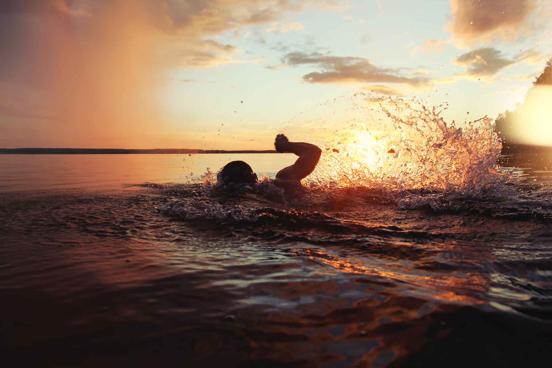
You won’t see many antics involving cannonballs (or cabers) on the shores of Silver Lake these days, but the lake remains a scenic, inviting spot. Indeed, it is easily one of the most alluring lakes in the Island.
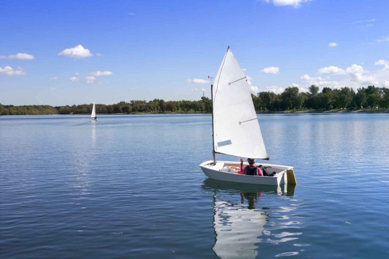
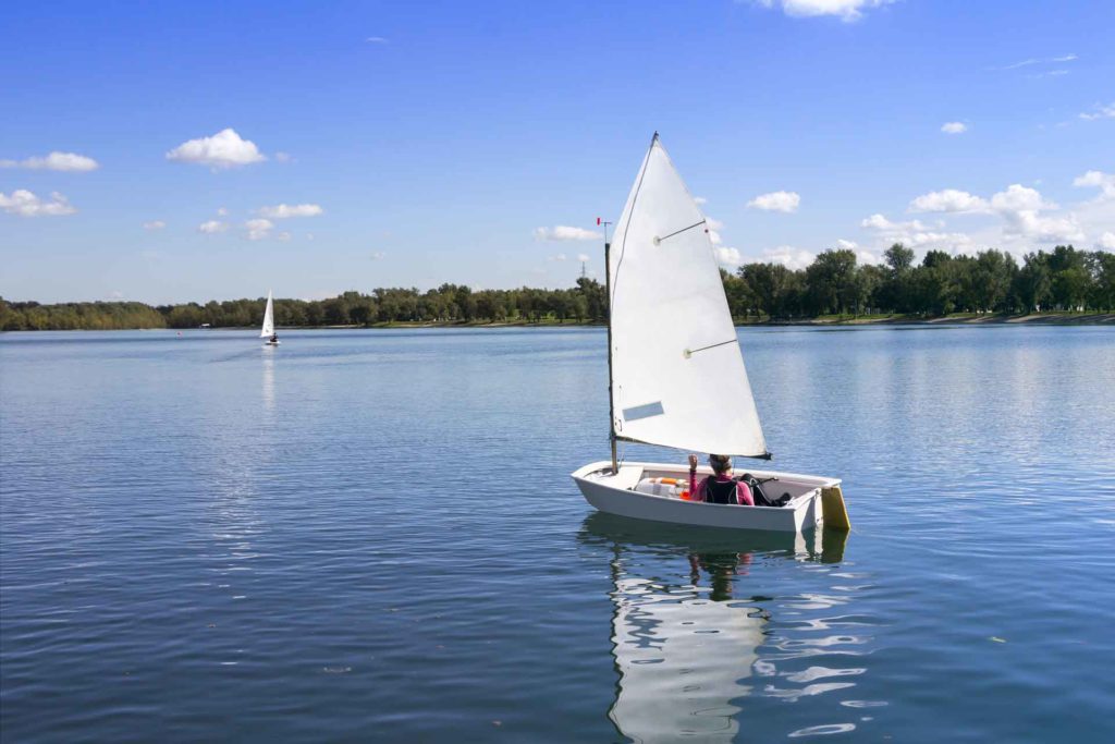
At roughly 2 ½ miles long by 1 ½ mile wide, it is a smallish lake, but big enough that sail boats occasionally tack across its surface. The eastern shore is scalloped with sand beaches, and because of the lake’s overall shallowness, you can actually walk across the north end, ensuring pleasant temperatures for swimming.
A string of cottages, many of them rustic log buildings, owned by people from as far away as Ohio and even Florida, cling to the east shore as well, but public access is provided at a boat launch in the south end of the lake and in a number of other spots along its circumference. The west shore is largely uninhabited, and the cottagers all seem low-key types, so the lake doesn’t feel overrun. It feels almost paradisaically peaceful.
And the water is amazingly clear. Bruce Duncanson, who lives on the east shore of the lake and has deep roots in the area, as his great-grandparents John and Catherine Duncanson homesteaded on the north shore of the lake in 1882, says the clarity is a combination of the lake being spring-fed, and having relatively little human impact.
“When we were out west at Lake Louise, you couldn’t see your fingers underwater,” he notes, “but here, you can always see your feet.” He believes the name “Silver Lake” originated with the area’s first peoples, who “said that when they saw the sun shinning off it, it looked silvery.”
Mr. Duncanson’s wife, Irene, points out that “there is another Silver Lake that you see off Highway 69 when you’re driving south to Parry Sound, but it’s not very silver.” Mr. Duncanson laughingly agrees. “No. That one is black.”
The two built a retirement home on the lake after living for years on the Duncanson family spread, in a building that was originally the schoolhouse. Mr. Duncanson attended that school for a short spell, before it was closed in 1936.
There has been at least one fatality on Silver Lake. In 1998 three men were firing up the steam broiler at a sawmill on the lake when it exploded, blowing them out the building, says Mr. Duncanson. “A couple of the guys were badly scalded, and one of them, Frank Guinn, died from the injuries.
Few hazards exist now, with the exception of some “sink-holes” in the northern corner of the lake, and a sign on that shore line warns swimmers to avoid the area.
The ice in winter is quite thick, given the lake’s shallowness, so snowmobilers need not be too concerned about going through.
That said, Mr. Duncanson’s two sons, when they “were young pups,” managed to sink a sled in the mushy area near the outlet of Silver Creek. “I think it was Glen; he was the daredevil of the family,” the father recalls with a chuckle. “Fortunately, it was only two feet of water where they went in.”
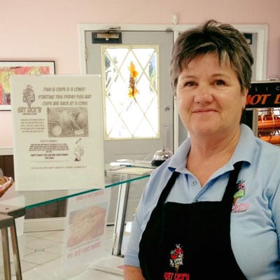
The Codmothers’ Family Dining • Takeaway Wheelchair Accessible Licenced Wheelchair Accessible Licenced About The Codmothers’ This fully licenced family restaurant in
Another old timer recalls some ice antics of his own, from the time when he was a boy (and snowmobiles had yet to be invented.) “In 1934 the lake was glare all winter, no snow, and we would skate the whole length of the lake, right to the door of the schoolhouse.”
Summer was the best time to experience the lake, though. “We used to go our with a pole cut from the bush with a line on it, and we’d get a whole mess of big bass,” the old timer recalls. “Later, there was a lot of perch. So many that if you got a small one, you broke its neck and tossed it to the seagulls.
Fish still frequent Silver Lake, though not so many perch or bass as there once were. The main species now is pickerel, which were introduced a number of years ago.
And at least one sturgeon, according to Mr. Duncanson. “Joyce MacDonald was working at the cemetery one day”, (there is a cemetery on the eastern shore of Silver Lake, where many of Mr. Duncanson’s relatives rest,) and she saw this big old sturgeon swim by. Said it looked like a block of pulpwood, about four feet long. I guess it’s still in the lake.
If you would like to experience the warm, limpid waters of Silver Lake, and perhaps spy a wily old sturgeon as well, simply continue due west after reaching the community of Silver Water and keep to the right where the road forks south to Burnt Island.
Bring your bathing suit and sunglasses. And, for tradition’s sake, why not a picnic basket too?
NORTH CAHNNEL—The North Channel is defined by Manitoulin Island: this famous waterway is, similar to Georgian Bay, a part of Lake Huron but if there was no Manitoulin Island, there would be no North Channel.
The North Channel of Lake Huron, to give it its proper moniker, is an extension of the St. Mary’s River, the outflow from Lake Superior to Lake Huron at the “Twin Soos” in Ontario and Michigan, not too far to the west.
It is much broader, longer and interesting than the St. Mary’s River, but the two are connected in that way that water likes to flow downhill.
On its eastern end, find the historic and picturesque village and Port of Killarney (in 2020 celebrating 200 years as a community) on the Killarney Channel which, in turn, flows into Collins Inlet and then it’s all Georgian Bay.
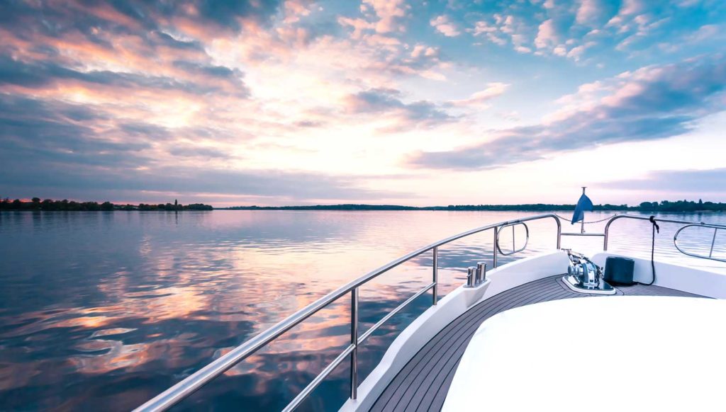
The majority of Manitoulin Island’s port communities are on the North Channel: Little Current, Kagawong, Gore Bay and Meldrum Bay. From late spring through fall each year, their docks, marinas and shipwright shops cater to cruising clientele. These are both sail and powerboat enthusiasts, in craft of all sizes, who are drawn to the North Channel because, well, they consider it the finest cruising grounds in the world.
While that may seem like a larger-than-life claim, consider also that Manitoulin Island itself is the largest Island in fresh water in the world, so the area can lay claim to double superlatives, courtesy of Mother Nature.
This fine cruising is the result of a number of factors but the primary one is the hundreds of islands that are not only picturesque but provide the challenges to navigation that sailors enjoy. Among them there are literally thousands of sheltered natural harbours that invite holidaying mariners to drop anchor, have a shore lunch, explore a bit, stay a while.
These islands are primarily Crown (i.e. public) lands. The ones that aren’t are easily identified by the fact that someone will have built a cottage (camp, as they say in Northern Ontario) somewhere on them.
For more than a decade now, North Channel sailors have been drawn into an even closer community by means of the Cruisers’ Net, a morning VHF signal broadcast on Channel 71 daily in July and August beginning at 9 am.
Roy Eaton, himself a veteran North Channel sailor, is the instigator of this useful service but also the voice behind the mic who daily provides bits of useful national and international news, relays important (sometimes urgent) messages to, among and from mariners, weather reports and more. Roy Eaton broadcasts from the second floor of the Anchor Inn Hotel in downtown Little Current and, on most days, he is surrounded by boaters in port who come up to say hello to him, and to one another, in person. Mr. Eaton receives thousands of call-ins each summer.
A port is a pleasant, and often necessary, place for boaters to occasionally visit and the North Channel, on both its Manitoulin and North Shore coasts, is home to a number of them so the mariner, while enjoying the rugged splendour of the Channel’s granite and sometimes quartzite features, is never too far from the services of a marine community.
Manitoulin’s North Channel communities have already been named. They are all well-established towns and each one has its own charm and culture.
These Manitoulin port towns and their North Shore counterparts have not only a vested but, in fact, an historical interest in serving and servicing the yachts that play in the North Channel together with their captains and crews. All of these communities were established from the water well before the roads were built (remember the port of Killarney is almost 200 years old and it had no road access until the mid-1960s!)
The docks that lined (and still line) their waterfronts were the means by which people and goods arrived at and left these communities, so their primary orientation remains very strongly to their waterfronts.
In Little Current, Killarney, Kagawong and Meldrum Bay, the traditional business district faces the dock and the water.
Gore Bay is slightly different in that the waterfront street isn’t the main business street, which it parallels. (That long-ago decision gave Gore Bay the chance to have businesses on both sides of its main street, an opportunity that was denied to those other port towns that chose to build their businesses directly facing their waterfronts.)
Each of these towns is continually upgrading its waterfront infrastructure in order to better serve the yachting community whether individual boaters and their craft are transients, headed the next day to the next port or are “seasonals” who lease a berth in a public or private marina for the season and venture out for North Channel adventures, and to visit other ports, as often as they are able.
On the North Shore side of the North Channel, the ports and marinas can be found at Spanish, Blind River, Richard’s Landing and Hilton Beach (both of these last ports are on the westerly St. Joseph’s Island) and at Thessalon.
As noted, the Port of Killarney anchors the North Channel on the east and the Port of Sault Ste. Marie, Ontario, on the west.
For boaters who are also anglers, the North Channel is a giant fishing hole where every game species is there for the catching, together with sturgeon, a protected, endangered and non-game species.
Every species has its own habitat, of course, but yachting fisher people can down-rig for salmon and lake trout and look for bass near shoals, pickerel (walleye), pike, perch and muskellunge (muskie) at their appropriate depths and also set their lines and bait deep for whitefish.
Pleasure boaters exploring the North Channel can expect to see a Great Lakes cruise ship, heading east or west and hosting 200 or more passengers from all over North America, Europe and beyond who have chosen to enjoy the magic of this famous waterway from this elevated perspective with dinner and drinks always nearby.
The Port of Little Current is the only Manitoulin North Channel community where these ships dock enroute to their turnaround destinations of Chicago and Toronto.They also dock at the Canadian Soo. Just like pleasure boaters, the cruise ships coming or going from Little Current must wait for the iconic swing bridge to open (to ‘swing’ on its central pedestal) and so leave motorists to watch as craft of every size pass through the North Channel at its narrowest point.
The Codmothers’ Family Dining • Takeaway Wheelchair Accessible Licenced Wheelchair Accessible Licenced About The Codmothers’ This fully licenced family restaurant in
The North Channel has some boutique features for the exploring yachters: Baie Fine northeast of Killarney, the Mississagi Straits that divide Manitoulin at its most westerly from neighbouring Cockburn Island (also a part of the District of Manitoulin) and where French explorer and adventurer LaSalle’s ship Griffon was quite possibly smashed into kindling against far Western Manitoulin’s rocks and shoals over 300 years ago. That particular mystery is ongoing although the old Mississagi Lighthouse, built right at Manitoulin’s western tip 140 years ago, still warns mariners about the same dangers that likely met La Salle’s ill-fated ship. Other lighthouses along the North Channel are at Strawberry Island just east of the Little Current swing bridge, a range lighthouse in Kagawong and the Janet Head lighthouse near the Gore Bay harbour as well as the Killarney lighthouse.
In addition to food, fuel, medical needs (there are full-service hospitals in Little Current and Blind River with 24-hour emergency service, and medical clinics in Killarney, Gore Bay, Thessalon, and Richard’s Landing) and all the shopping required to make any vacation voyage a pleasant one, there are two large shipyards in Little Current: Harbour Vue Marina and Boyle’s Marina and in Gore Bay, Fogal Marine Services provides service to yachters. There are boatyards in Killarney and Sault Ste. Marie.
But a yachter need not come with his/her own boat. Canadian Yacht Charters (CYC) in Gore Bay leases sail and power craft, both crewed and bare-boat, to accommodate boatless folks wanting a taste of the North Channel’s grandeur.
Another favourite destination, and a mid-point in the long reach of the North Channel, is the Benjamin Islands: quartz outcrops that nature painted a unique hue. It’s a natural gathering spot for boaters and a destination that veteran and novice boaters alike tend to work into their itineraries.
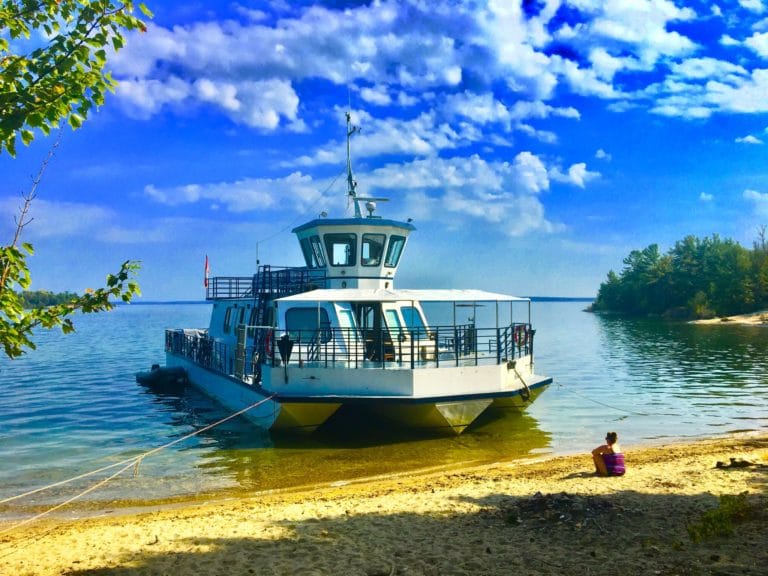
In fact, you can enjoy the North Channel for most of a day strictly as a passenger aboard Le Grand Héron, the North Channel Cruise Line’s spacious, licensed cruise boat that makes scheduled sightseeing trips all summer long throughout the week. One goes to Killarney, another to the Benjamin Islands, another to Baie Fine and there are several special events as well. Little Current is the home port for Le Grand Héron.
Just as it was and is for Indigenous people who have canoed the North Channel for thousands of years, for the Voyageurs during the seventeenth, eighteenth and early nineteenth centuries who used huge freight canoes to carry trade goods west from Montreal and furs back from the west and north to Montreal, the North Channel is a useful east-west waterway for the modern-day yachter; one that also happens to present incomparable natural beauty, all services required for the boating community and the opportunity to become, even for an occasional season, part of the fraternity/sorority of boaters for whom the North Channel is one of the most special places on earth.
The North Cannel Marine Tourism Council officially represents the waterway and the public and private sectors that provide service to its mariners. Please contact them at www.thenorthchannel.ca.
Perhaps the most striking thing about Lake Wolsey is that it is not, properly speaking, a lake at all. A man-made causeway divides it from the North Channel, but since the lake is still connected to the big water by a narrow passage under Indian Point Bridge, it would really be more accurate to call it a bay or inlet.
The other striking thing about the ‘lake’ is that it helps form the narrowest part of Manitoulin by cutting a deep five-mile notch in the shoreline. The remaining distance between the southern tip of the lake and the Island’s south shore is a mere mile and a half.
Looking at a map, it seems obvious that this narrow strip of land was once used as a portage. Not only is the bay located directly below the lake called “Portage Bay,” there is also a tiny lake between Lakes Wolsey and Huron the “Portage Lake.” A stepping stone, as it were in the trail, or more accurately, a brief respite from the trail. Presumably first nations canoeists would have broken up the slog by a short glide on this small lake.
I brought my canoe when I visited Wolsey, thinking I would explore the south end of the lake and look for evidence of this historic trail (if not actually attempt to tote my canoe across it). And I did, indeed, eventually find evidence of the portage, although it wasn’t through my particular effort on my part or help from my canoe, which stayed firmly attached to the roof of my vehicle the whole time I was there.
What can I say? Well, it was choppy on Lake Wolsey the day I visited. It was also an extremely hot day. Wading in the shallows and sitting in the shade seemed far preferable to me than bucking around in the waves and attempting a bush-crash portage.
Wolsey Lake is easy to find. Simply drive west of Gore Bay on Highway 540 until it appears on your left. Crossing Indian Point Bridge, a massive headland is visible west, while the wind-scuffed sprawl of Wolsey Lake can be beheld to the east.
This scenic view is all that most people know of Wolsey Lake and environs. It’s all I knew, anyway. But there is much more to experience.
If you want to put a boat in for a tour of Wolsey, the place to do it is immediately after you cross the bridge: on the north side of the highway there is a picnic ground which includes a boat ramp. You will actually be putting your boat into Campbell Bay, part of Bayfield Sound, but from here it takes no time to zip around and go under the Indian Point Bridge into Wolsey.
Not far past the picnic ground is a restaurant, GG’s, and it is in this approximate spot that an historic Ojibwe and Odawa community was located, called Obejewung, the native word for the narrows separating Wolsey Lake and the big water, alternately translated as “at the place where the water rises” and “the place where the water runs in.”
In the 19th Century, the First Nation community spanned some 700 acres and numbered 43 individuals, according to Exploring Manitoulin, by Shelley Pearen. The population presumably swelled when, as Ms. Pearen writes, natives from the Magnetawan River arrived around 1874.
The residents of Obejewung were “admired by their neighbours for their elegant canoes and their ability to skillfully manoeuvre the sturdy but delicate craft,” notes Ms. Pearen. It’s a detail that I found particularly intriguing, because if these people were noteworthy canoe builders and paddlers, it lends credence to the theory that a portage would have been used to get from Lake Wolsey to Lake Huron.
Largely because of my fixation on this portage, I decided to turn off on Indian Point Road, your first left after the causeway, and head for the south end of the lake. A tourist camp ground called Lake Wolsey Obejewung Park is located here.
A seasoned camper says the fish don’t bite quite as much as they used to, and he did show me a picture of a 14-pound pike he caught a few summers ago.
“I was trolling for rainbow with eight-pound test and no leader when I caught it,” he noted. He says it’s not unusual for pike that size to be hooked in Wolsey, “but it’s rare to catch and keep them when they’re that big.”
The camper’s family told me about a nice sand beach that can be found on the steep, eastern shore of the lake. Near the beach is a series of natural springs.
Painted turtles are also abundant in this spot. Baldheaded eagles, golden eagles and ospreys are often seen on the east shore as well.
Wolsey Lake is one of the Island’s largest and deepest lakes, next in line after the “big three” of Manitou, Mindemoya and Kagawong. It stretches five miles in length, and reaches depths of up to 110 feet, according to a camper who preferred to be known only as Big John. My friendly camper told me they’d “never seen anything deeper than 80 feet,” but Big John maintained that he’d hit a spot with his depth finder had registered at 110’, theorizing that “it was a crack or something.”
Out front of the public beach, however, it’s extremely shallow. The day I was there, about 50 people, toddlers, teens, adults, were relaxing on the beach and wading out through the tepid water to reach a deeper, cooler spot. I waded out into this bathtub myself and snapped a bunch of pictures of cooling-down kids. Many of them were heading for a swimming raft located a couple of hundred yards from the beach.
While standing thigh-deep in the warm lake, surrounded by kids and rubber rafts and a couple of stationary personal watercraft, I gazed over at the reedy end of the lake, speculating about where the portage might have started, telling myself that if I was a thorough journalist, I should really go back to the car, get my canoe, and do some paddling and bush-crashing.
Instead, I decided I had a touch of sunstroke, stepped out of the lake, checked my legs for bloodsuckers (there weren’t any, nor did I really expect to see any, it’s just a reflex), and started walking lazily back to my vehicle in bare feet.
That’s when I found the “nature trail.” It was located at the back of the campsite, just beyond a ball diamond and a washroom facility. There was a sign, somewhat faded and battered, at the trailhead. Here’s what it said:
“This section of the trail was cleared previously to the coming of the white man. It is believed to have been the Indians’ land route to their hunting and fishing grounds near Lake Wolsey, portaged overland to Portage Lake, and on to Lake Huron.”
Okay, so I’m aware that tourist spots often play up these bits of folklore without spending too much time in the archives or doing much fieldwork. The nature trail wasn’t very long; it didn’t get me anywhere close to Lake Huron.
Still, I took the experience of that trail as further indication that a portage once ran from the bottom of Lake Wolsey to Lake Huron. Maybe not in this exact place, along this exact trail, but here somewhere.
The Codmothers’ Family Dining • Takeaway Wheelchair Accessible Licenced Wheelchair Accessible Licenced About The Codmothers’ This fully licenced family restaurant in
One day, I told myself, I will return and portage this area just like the Odawa and Ojibwe had.
Ah yes, one day. In the meantime, I sauntered over to Lake Wolsey Obejewung Park snack shack, got myself a burger and a Coke and drove slowly home, dreaming about future adventures.
Lake Wolsey boasts other features: when Mike Meeker hung up his skates after a brief stint in the NHL, he researched the burgeoning European aquaculture industry and began Manitoulin’s first aquaculture operation on Manitoulin, in Lake Wolsey just south of Objewung Park. It’s still there, producing Rainbow Trout in its cages, but Mr. Meeker’s initiative led to several other fish farming operations in the North Channel and the industry remains a vital one.
On the other, Gore Bay side of the lake is Lake Wolsey Cabins, a tourist camp for fishing enthusiast, where fishing boats can also be rented. This camp also caters to ice fisher people in the colder months.
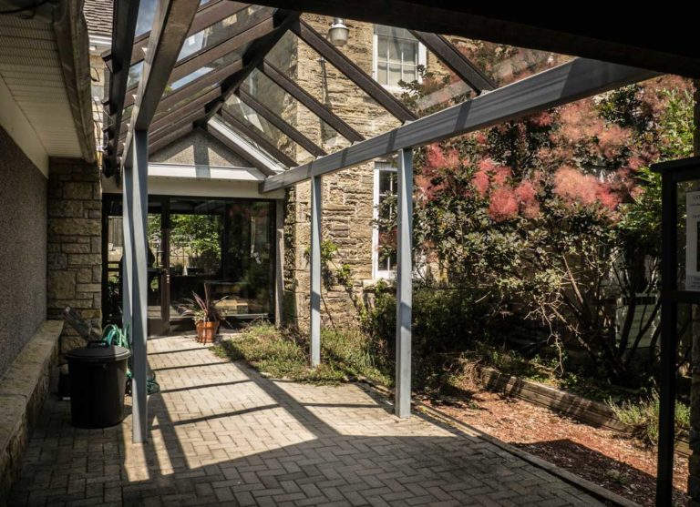
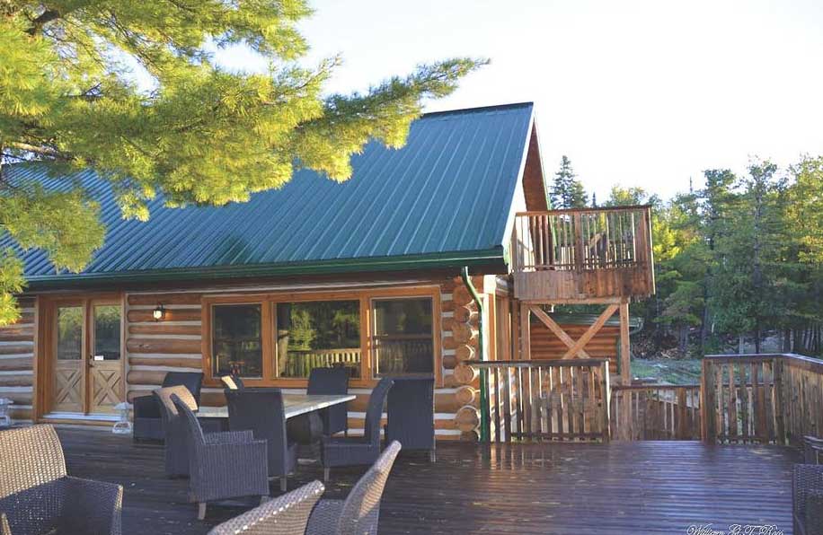
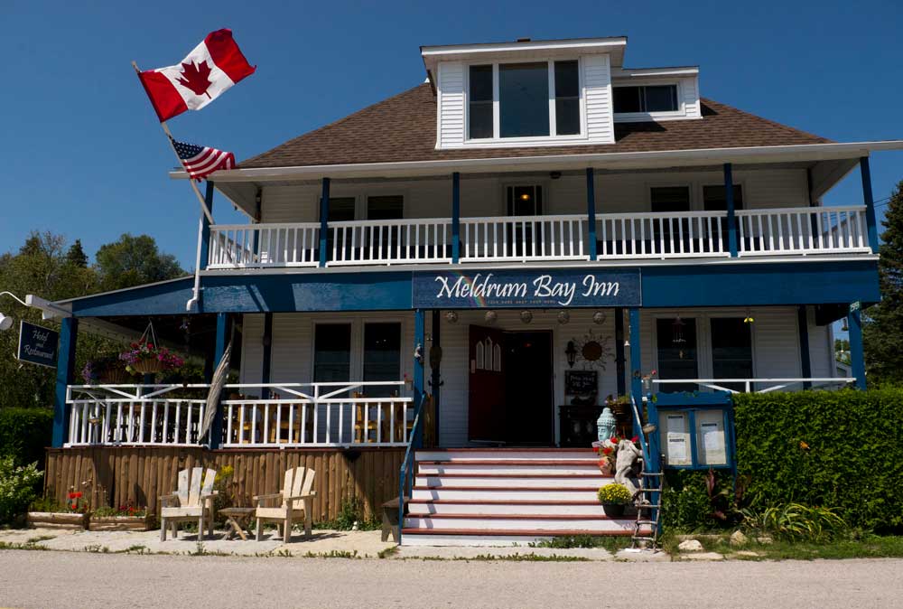
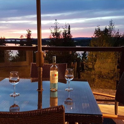
A real country inn located in Manitoulin Island’s westernmost town features 7 comfortable, intimate and relaxing rooms, each enjoying the breezes from the North Channel.
Each room is uniquely decorated to ensure your stay is a memorable one, including fireplaces that will make your early spring, fall and winter stays with us as cozy as possible. Downstairs, we offer a fully-licensed dining room, parlour and verandah where you can share the ambience of a tiny maritime hamlet with our resident hummingbirds.
At meal times (or any time) enjoy Chef Bob’s fresh, tasty homemade daily fare while you enjoy the village’s tranquillity.
Please come and visit us at the end of the rainbow in one of those rare and beautiful Ontario villages that is untouched by modern development.
Your hosts are Shirin and Bob Grover. 25959 Highway 540, Meldrum Bay, Ontario, P0P 1R0. Toll free 1-877-557-1645, local phone (705) 283-3190. Email: meldrumbayinn@yahoo.com Website: www.meldrumbayinn.com
The Codmothers’ Family Dining • Takeaway Wheelchair Accessible Licenced Wheelchair Accessible Licenced About The Codmothers’ This fully licenced family restaurant in