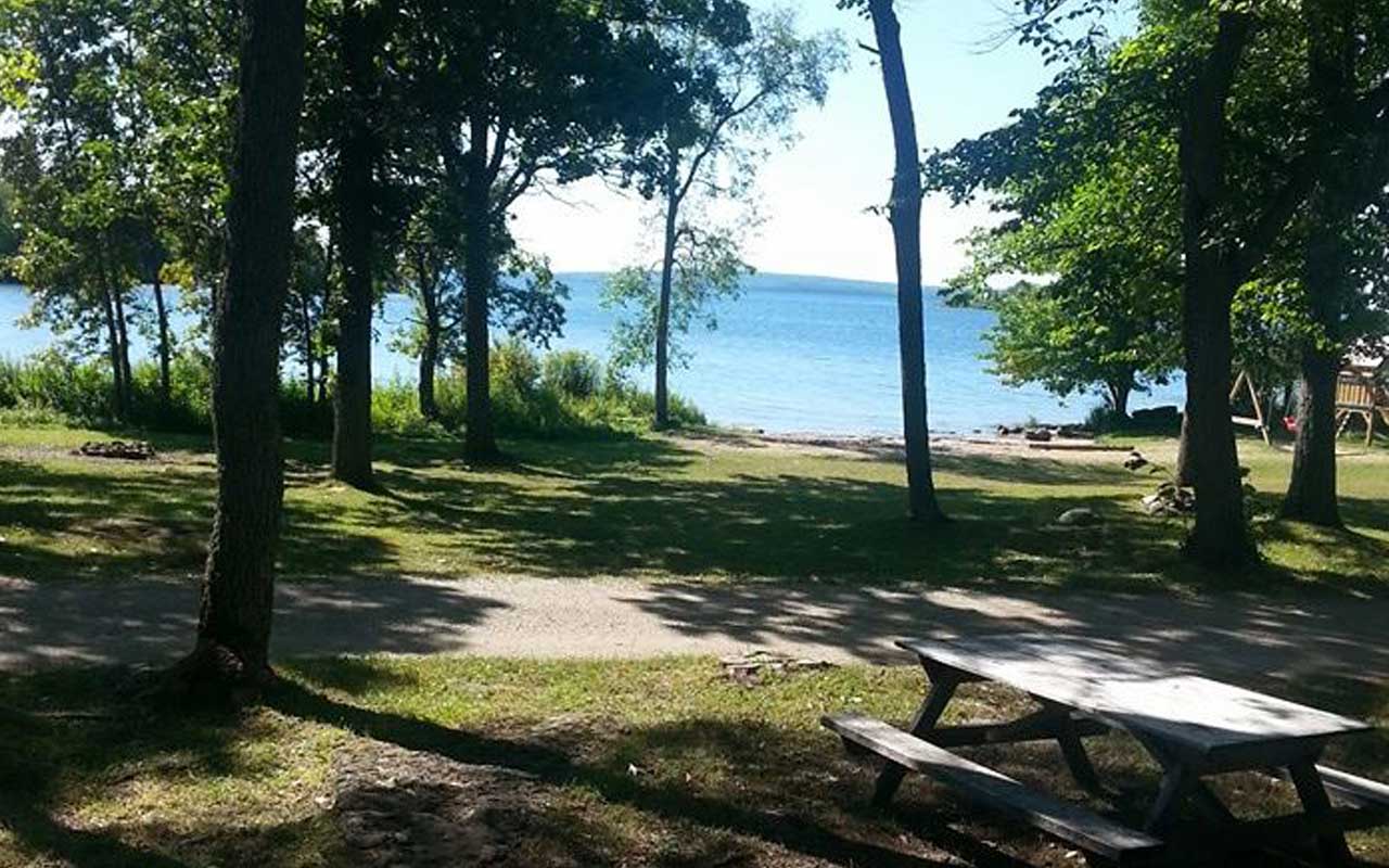
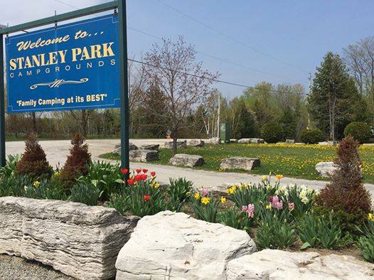
Stanley Park Campgrounds
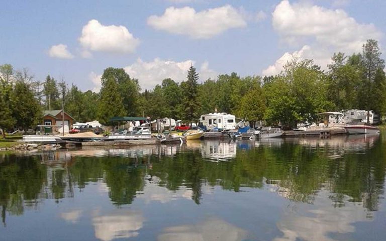
Stanley Park Campgrounds Lake Mindemoya Beautiful campsites for trailers and tents on Lake Mindemoya’s southwest shoreline. This central location is
Up Top Sports Shop
Up Top Sports Shop About Up Top Sports Shop D.A. Williamson and Sons and the Up Top Sports Shop is
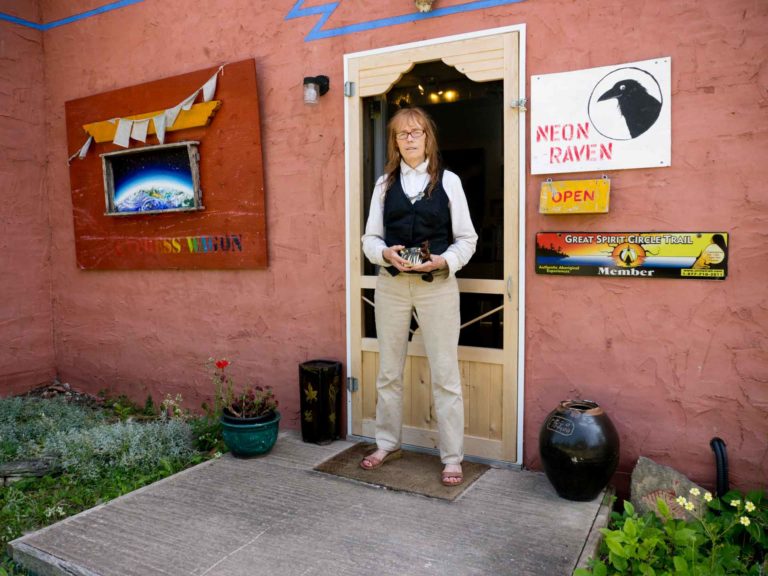
Neon Raven Art Gallery
Neon Raven Art Gallery About Neon Raven Art Gallery This unique gallery is located in the heart of M’Chigeeng at 53 Corbiere Road.
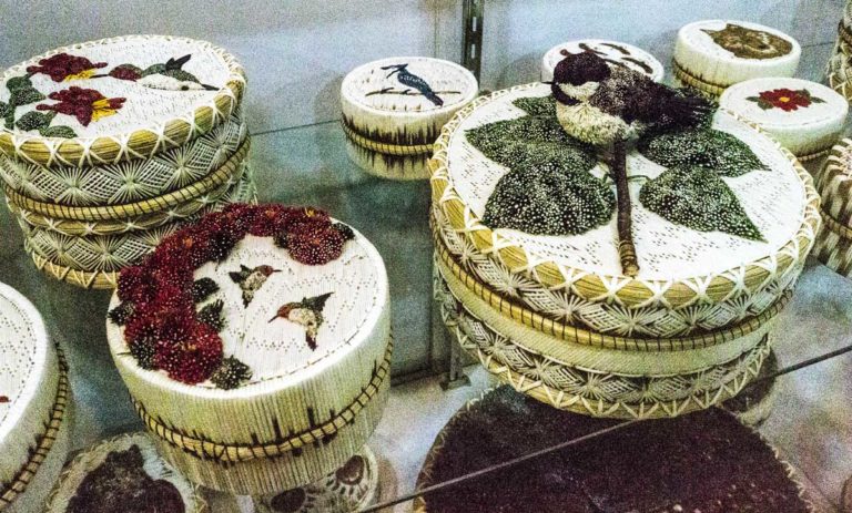
Lillian’s Crafts
Lillian’s Crafts About Lillian’s Crafts A big room is arrayed from floor to ceiling in unique pieces of local Anishinaabe art
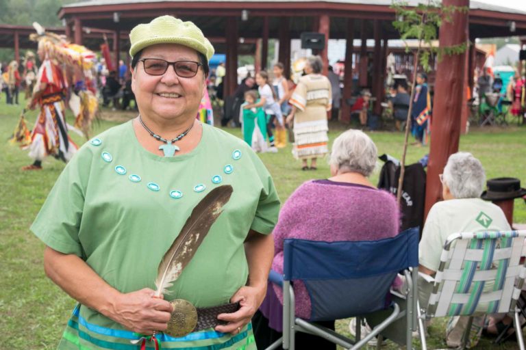
M’Chigeeng First Nation Traditional Powwow
M’Chigeeng First Nation Traditional Powwow September 2nd & 3rd The powwow at M’Chigeeng First Nation is held each year on

Golf
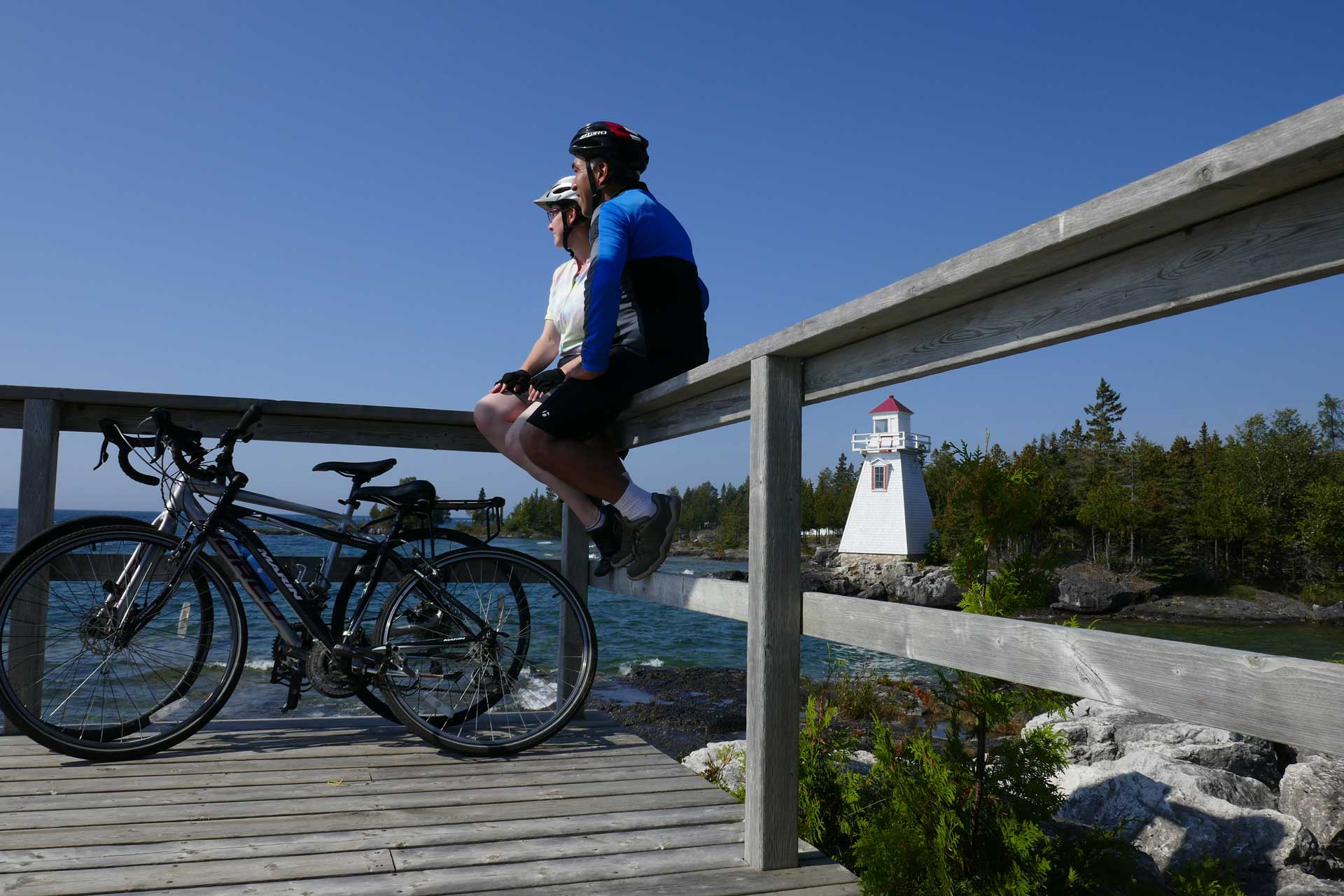
Manitoulin Golfing If you’re a golfer, by all means pack your clubs and come to Manitoulin Island. Manitoulin is a
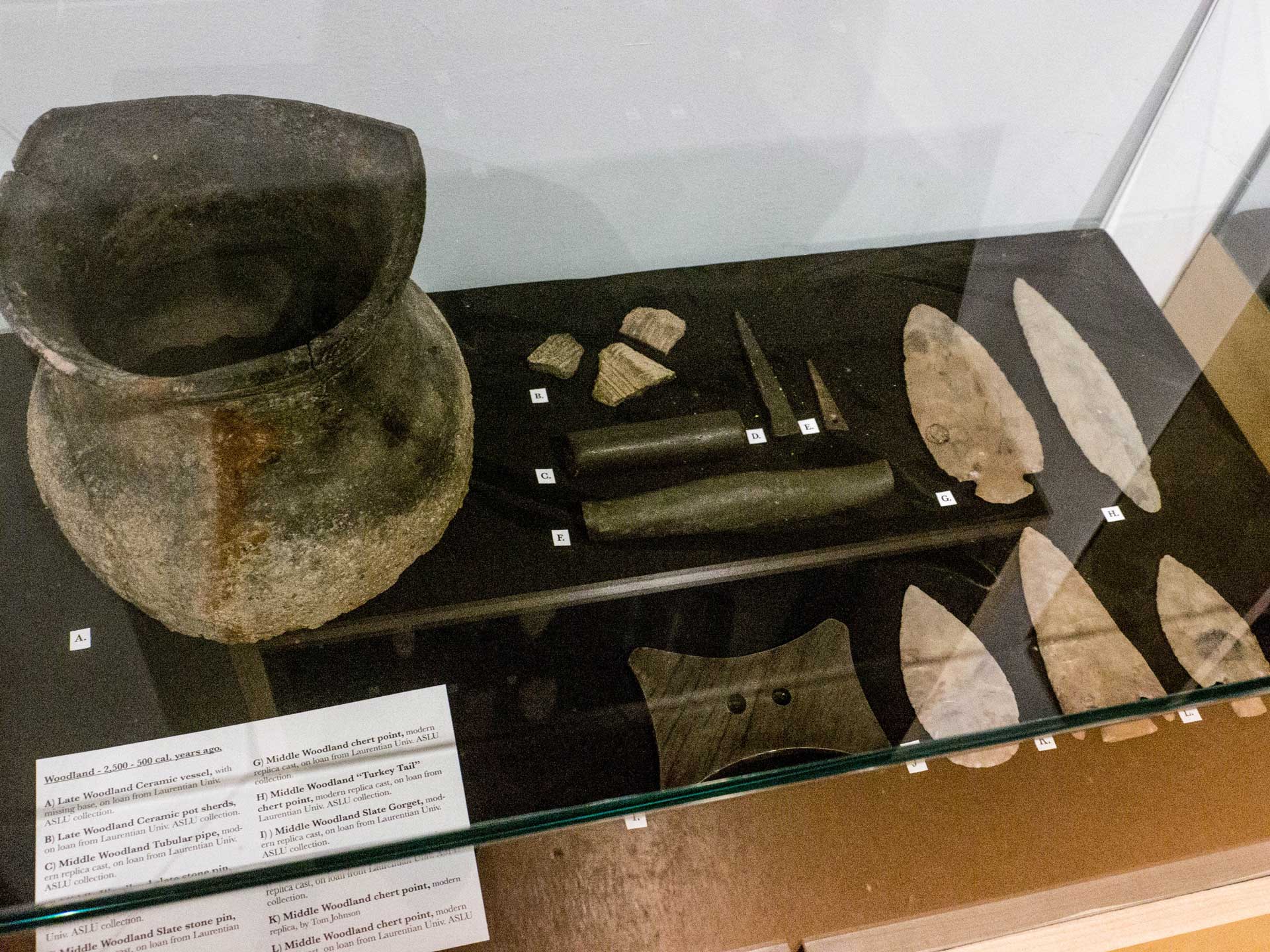
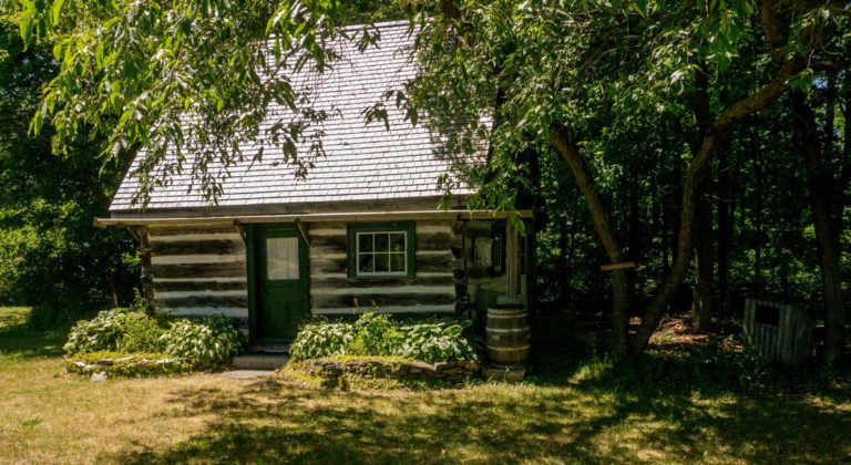
Lillian’s Museum
Lillian’s Museum M’Chigeeng A stone’s throw from the OCF, around the corner and east on Hwy 540, is the unmissable
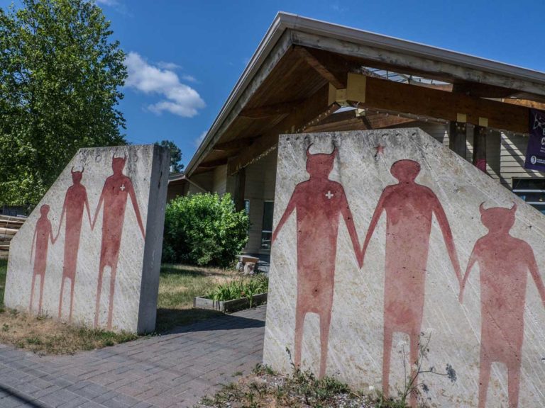
Ojibwe Cultural Foundation
Ojibwe Cultural Foundation M’Chigeeng The modern architectural form of the Ojibwe Cultural Foundation (OCF), fully situated in the present, pays
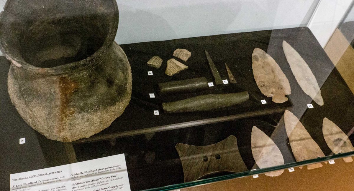
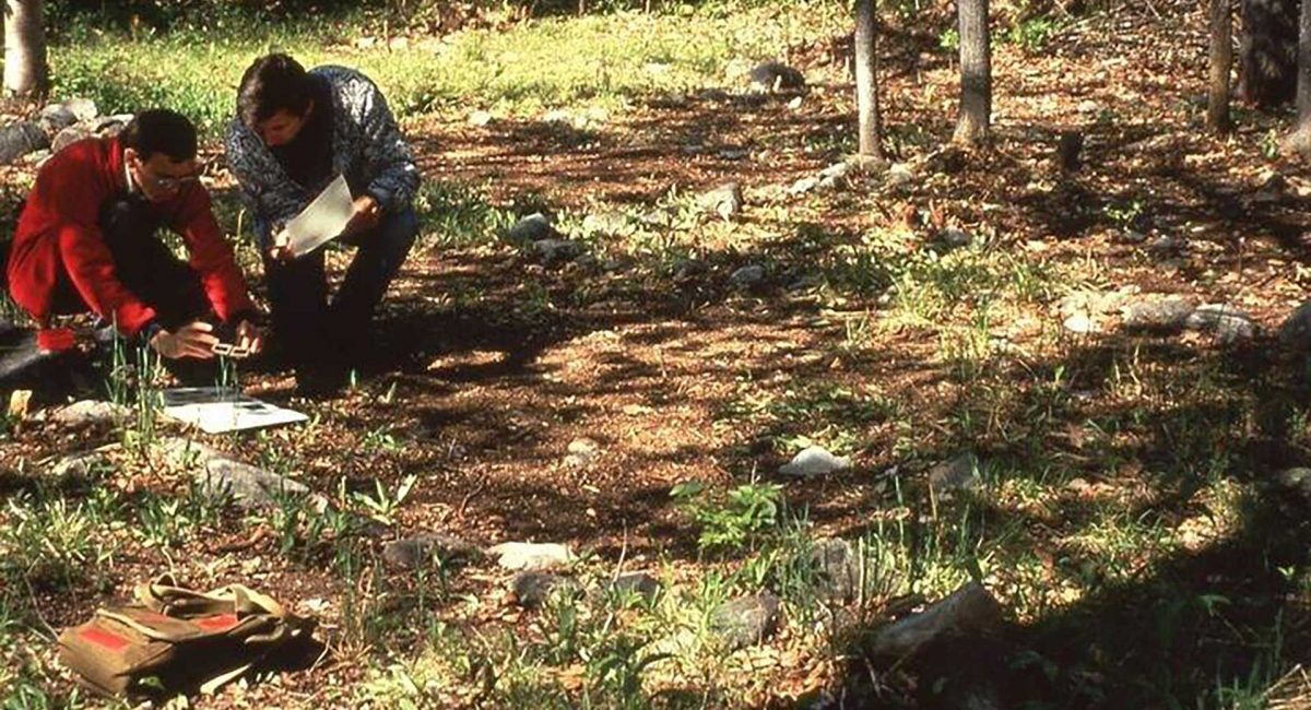
Mindemoya’s Pioneer Museum
Pioneer Museum Mindemoya On Manitoulin, as each new township was surveyed after the still-controversial 1862 Treaty between the Anishinaabek and
Wagg’s Wood
Wagg’s Wood Difficulty ★★★★ • Approx. 1 Hour Car Park Public Toilets Pet Friendly Wheelchair Accessible About Wagg’s Wood Come
Maja’s
Maja’s Fresh Food • Home Baking • Events Wheelchair Accessible Wi-Fi Wheelchair Accessible Wi-Fi About Maja’s Maja’s is named for
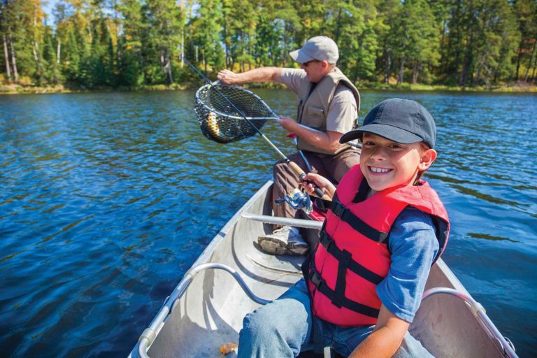
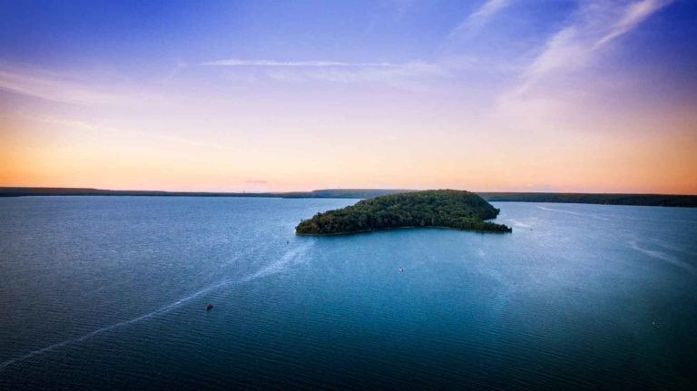
Whitefish Lake
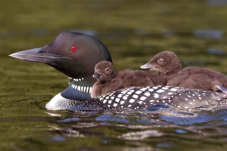
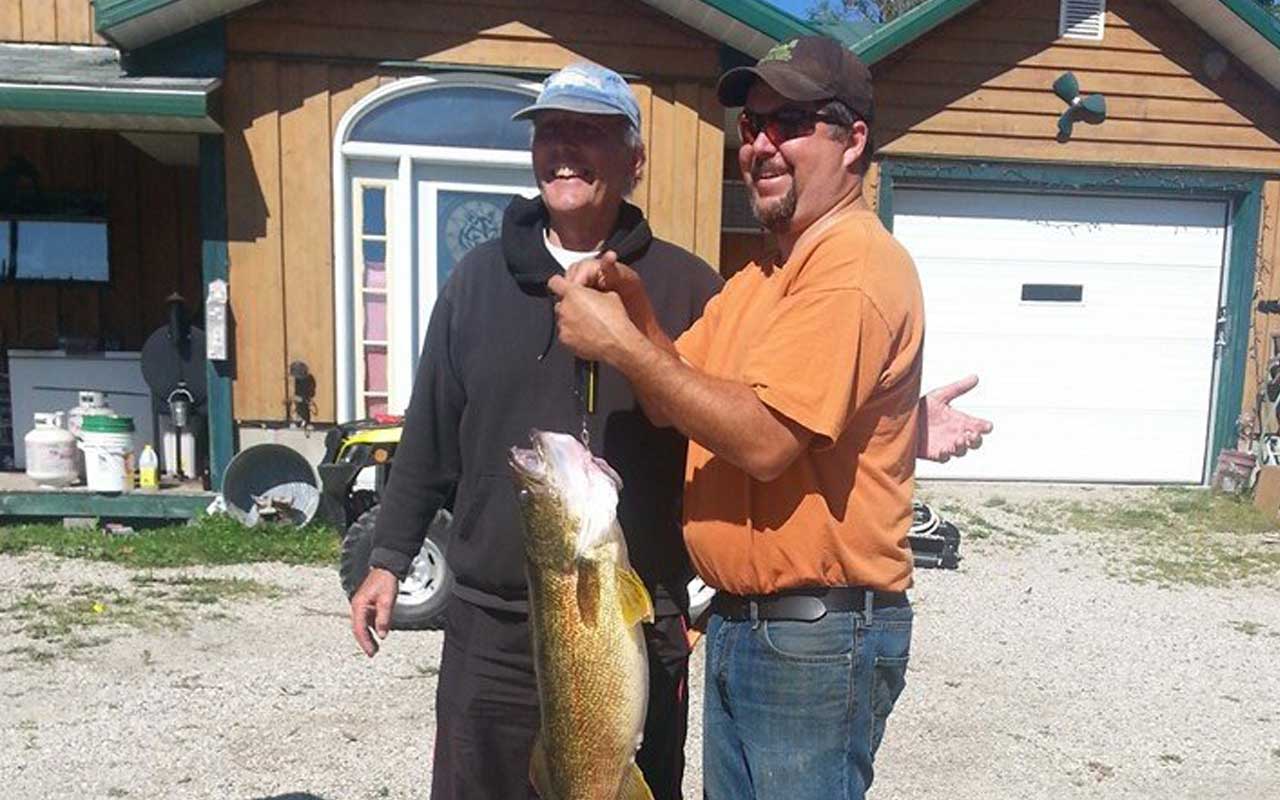
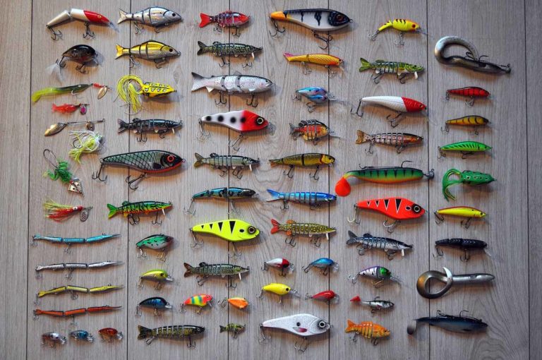
Whitefish Lake Keen fishermen may find: Perch Splake Bass Walleye About Whitefish Lake A deep triangular lake located midway between Lakes
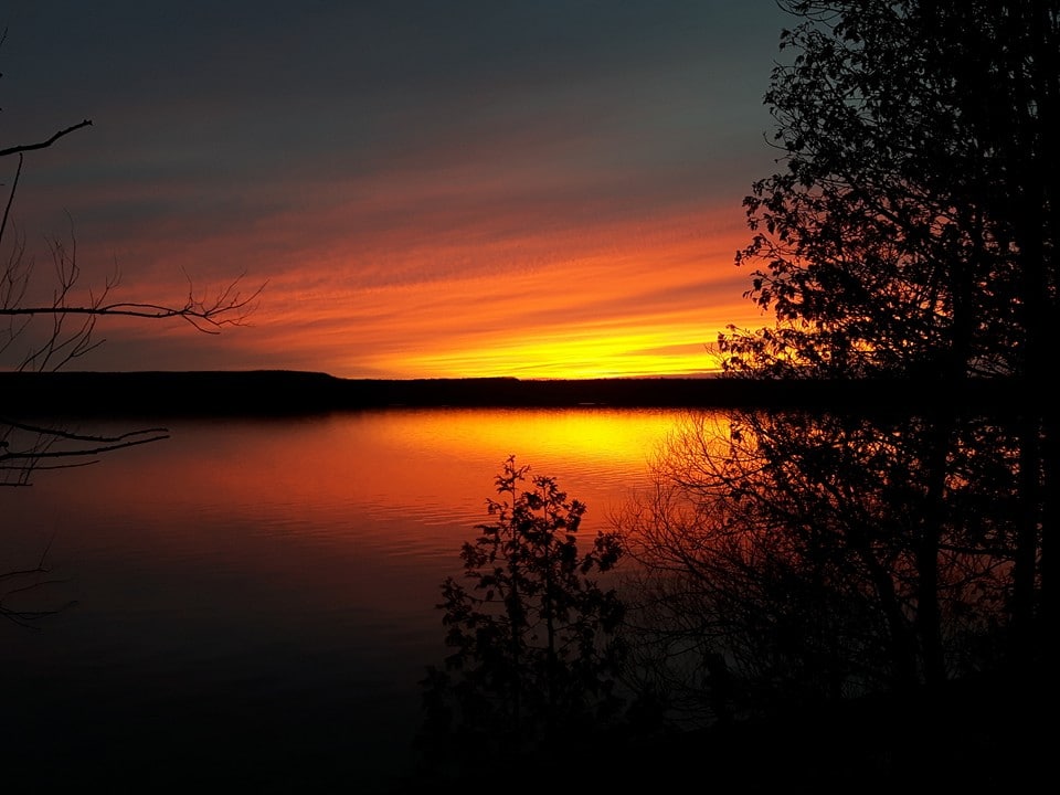
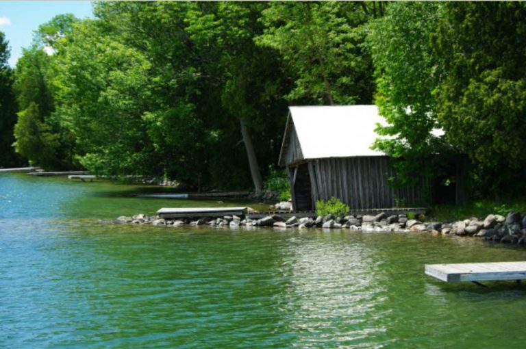
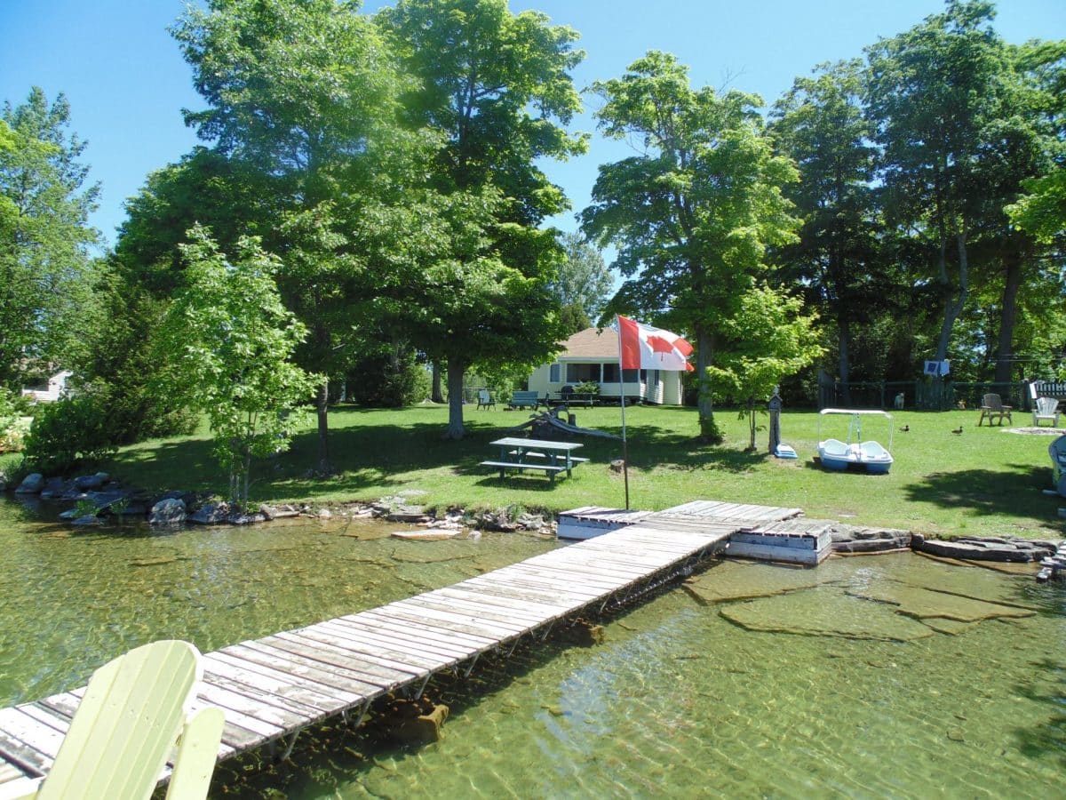
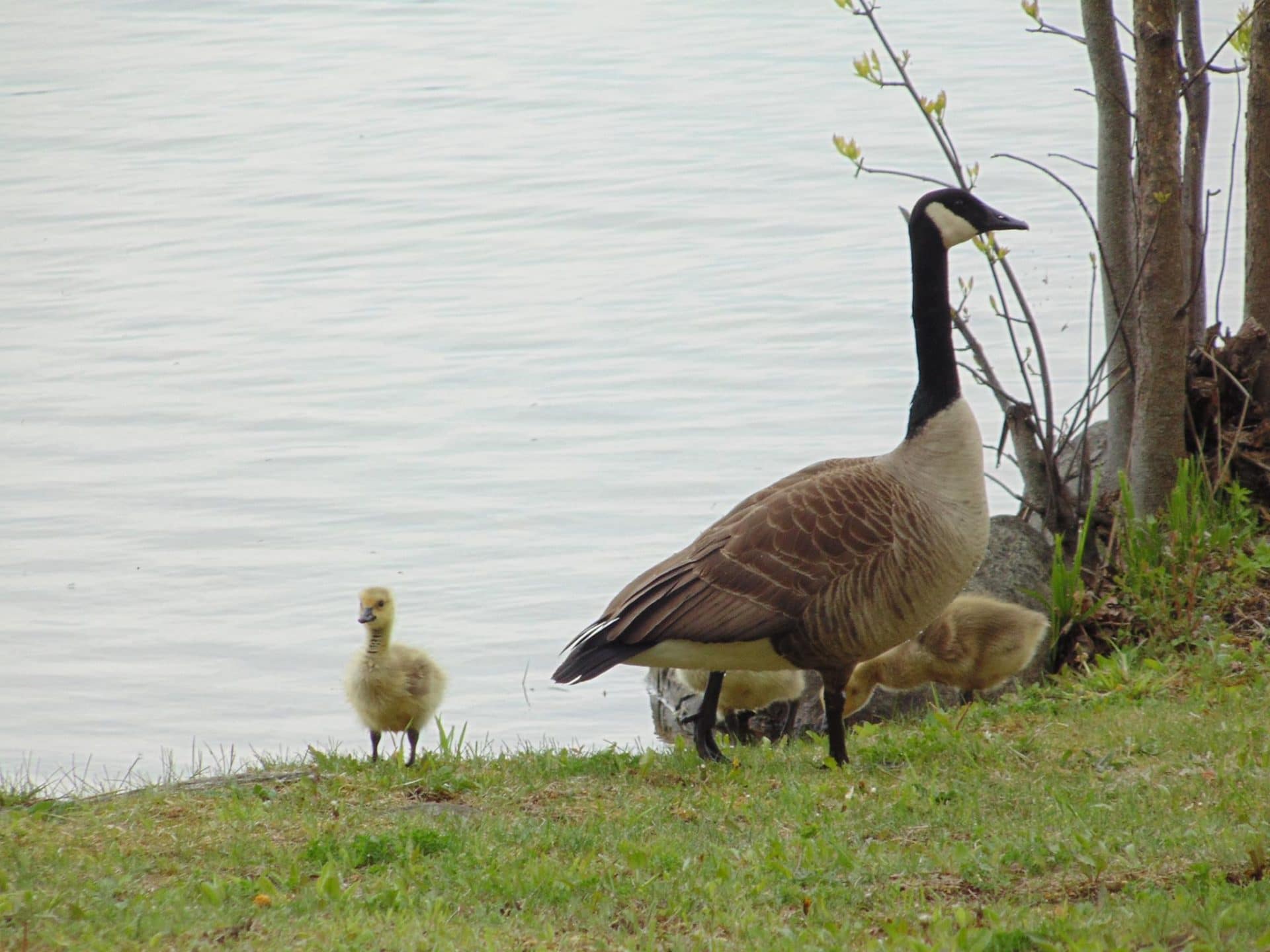
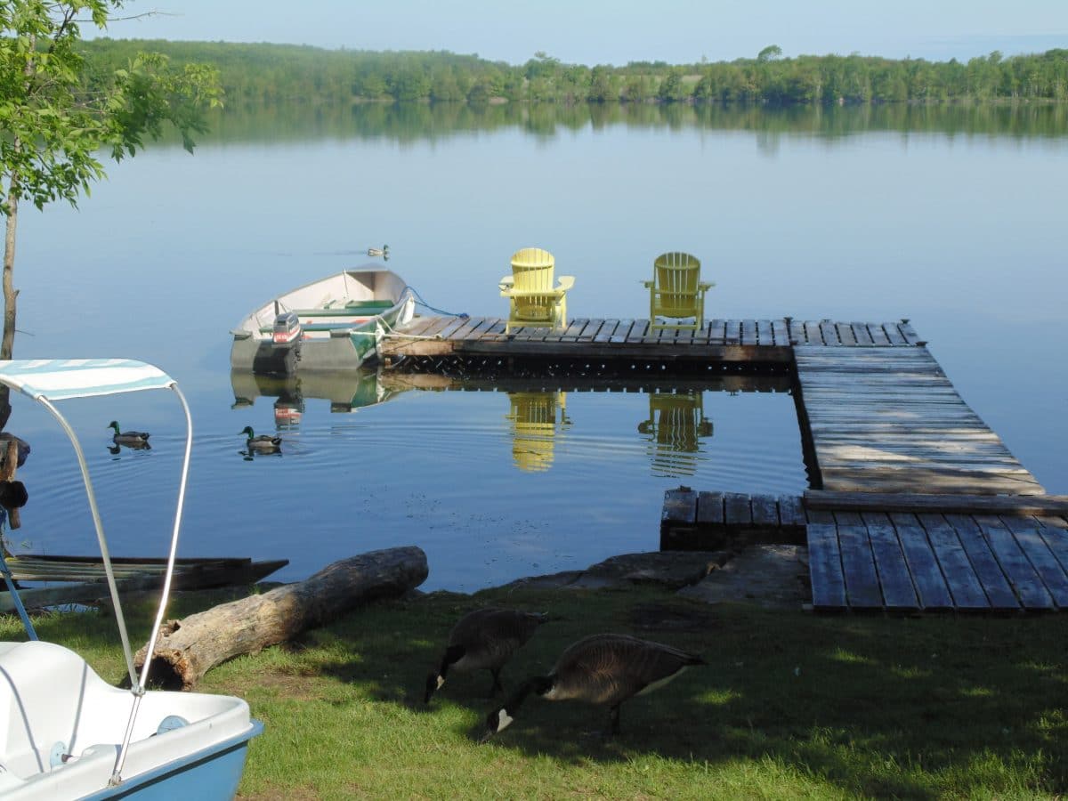
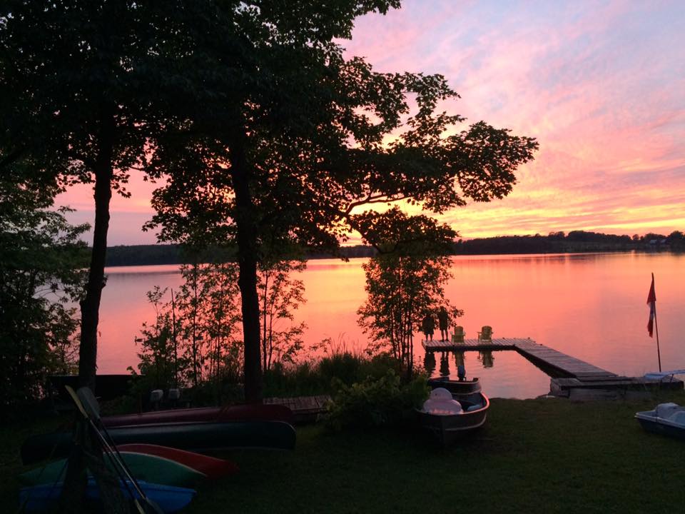
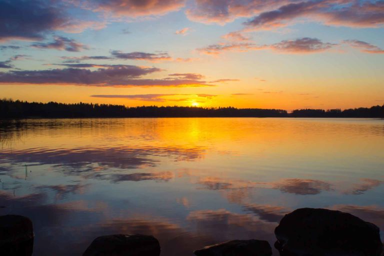
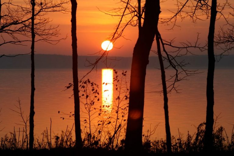
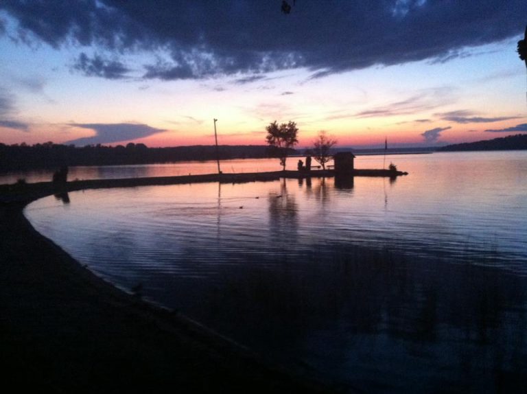
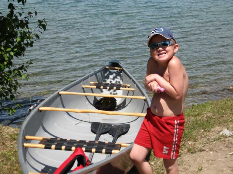
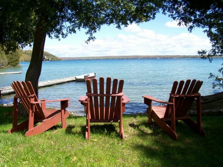
Lake Mindemoya
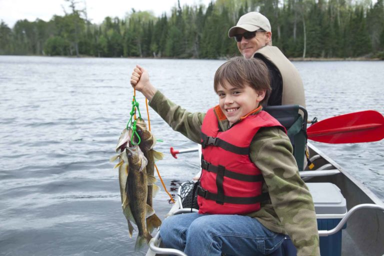
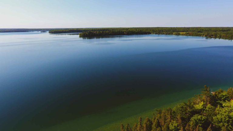
Lake Mindemoya Keen fishermen may find: Perch Walleye Bass Whitefish About Lake Mindemoya On a satellite map of Manitoulin Island, Lake
Big Lake
Big Lake Keen fishermen may find: Perch Muskie Bass About Big Lake Less than two miles long and mile at its
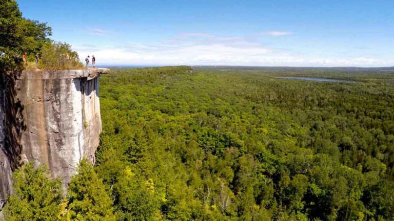
Cup and Saucer Trail
Cup and Saucer Trail Difficulty ★★★★ • Approx. 2 – 4 Hours Car Park Public Toilets Pet Friendly Wheelchair
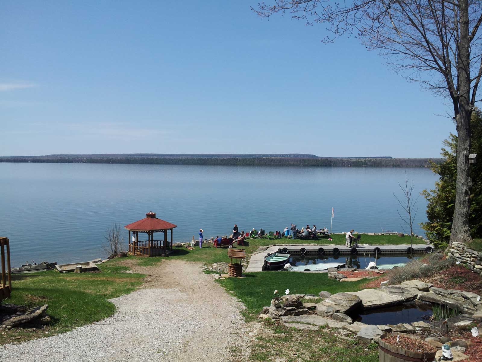
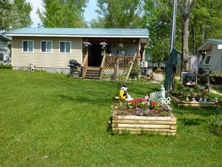
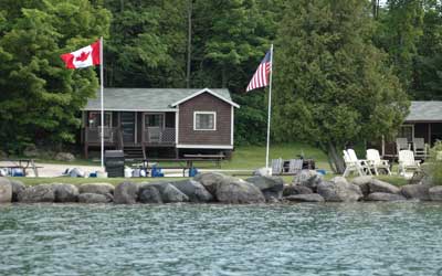
Island Sunrise Cottages
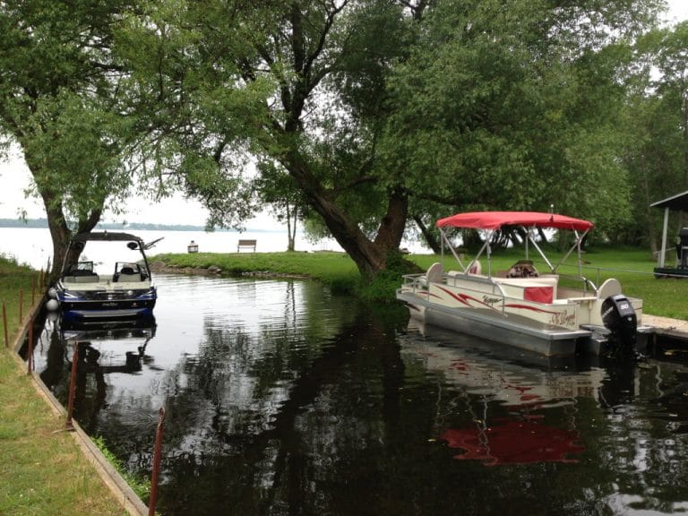
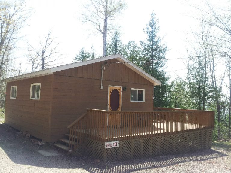
Island Sunrise Cottages Lake Mindemoya Fishing and hunting outfitters too and also salmon fishing charters (out of Providence Bay). Cosy
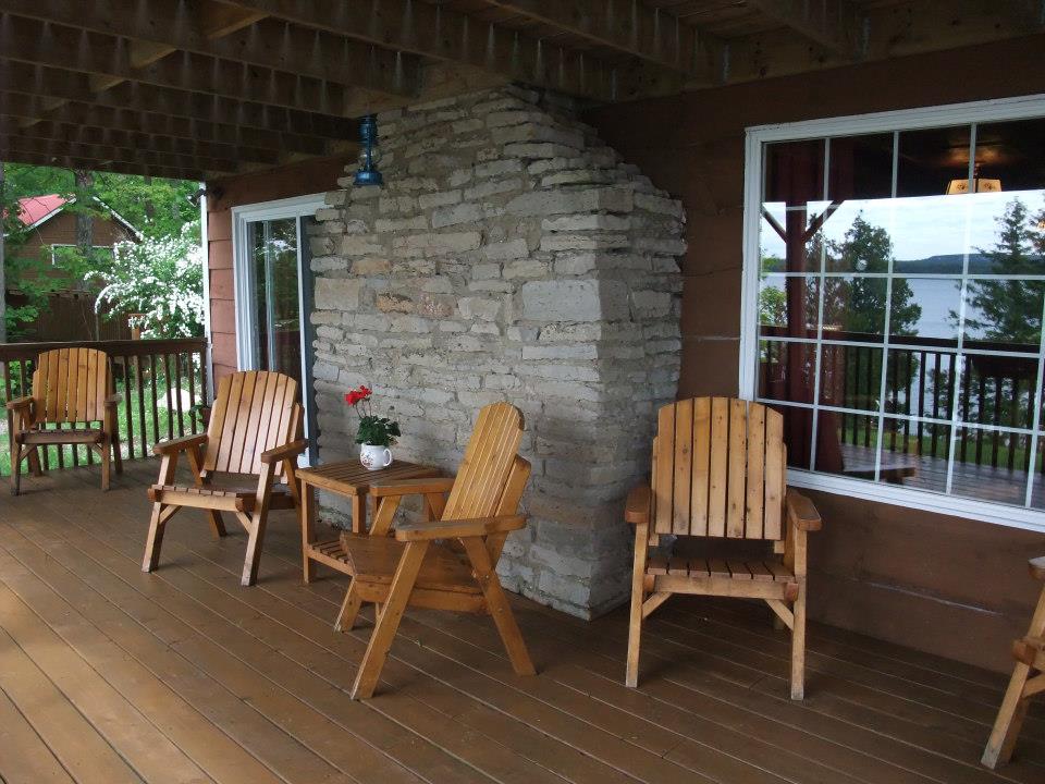
Island Spring Cottages
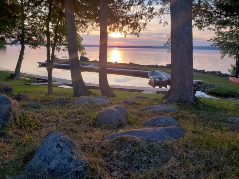
Island Spring Cottages Lake Mindemoya You’ll love the fishing, the ambience, the sunsets and the proximity to golfing (you can
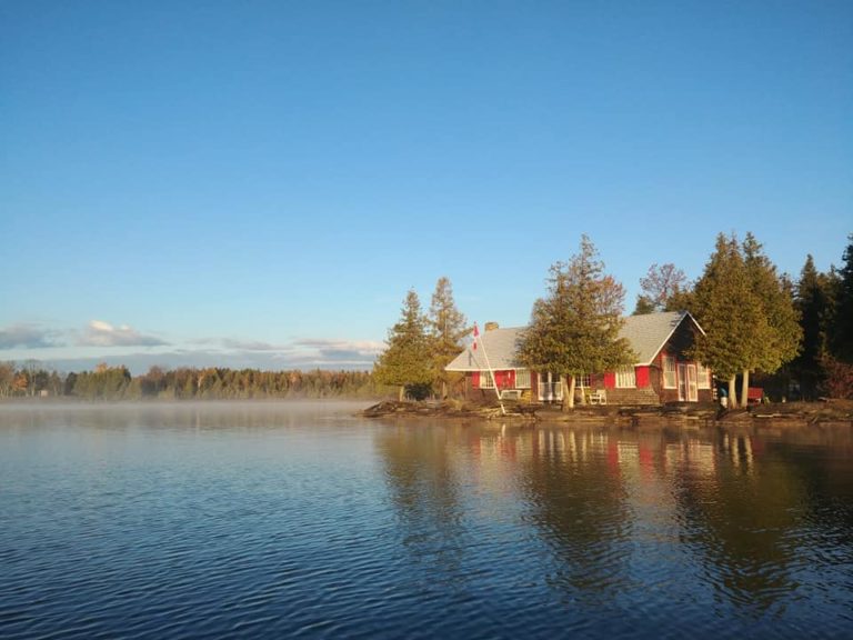
Pirate’s Cove Cottages
Pirates Cove Cottages Lake Mindemoya Contact this accommodation Pirate’s Cove Cottages and Brookwood Brae Golf Course create this four-season luxury
Cedar Grove Cottages
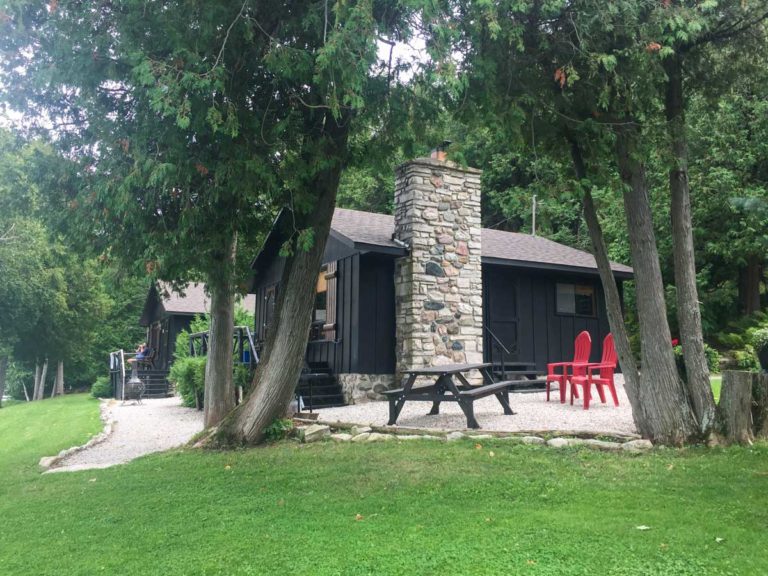
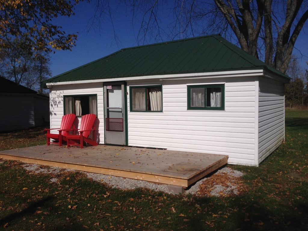
Cedar Grove Cottages Lake Mindemoya We welcome both families and fishermen and offer quality accommodations at an affordable price. We
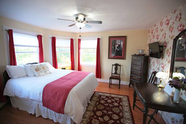
Twin Peaks B&B
Twin Peaks B & B Mindemoya Twin Peaks offers four elegant, comfortable rooms in a private and relaxed environment on