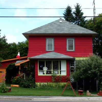
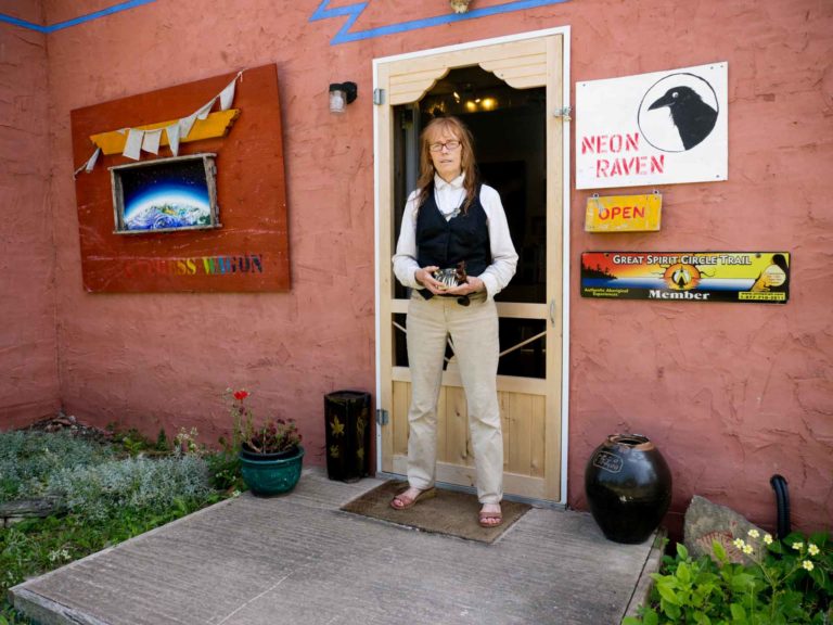
Maja’s is named for the owner-operator whose colourful home and shop in downtown Mindemoya along Highway 542/King Street also feature an ample side lot that over the course of the summer hosts Maja’s Garden Gigs. Wednesdays and Saturdays (but not every week so call first). These events feature food (much of it from the garden) and music. The adjacent store also sells baking and preserves made on-site and, for cycling enthusiasts, Maja’s is ground zero for information.
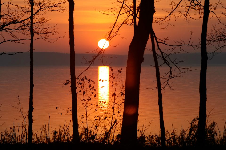
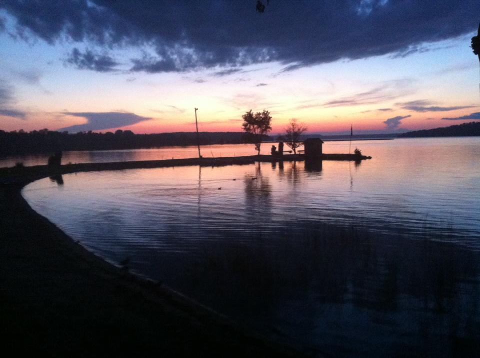
A deep triangular lake located midway between Lakes Manitou and Mindemoya, at the foot of the bluff that culminates in the Cup and Saucer Trails, you’d think that Otter Lake would be hard to miss. But it’s really more of a mystery.
You don’t see it from any major road, and even if you know where to begin looking for it, you still might not find the lake, because Otter Lake Road, at its juncture with Old Highway 551 presently lacks a sign.
To confuse things further, the lake is alternately referred to as Otter Lake and Whitefish Lake. Most residents of M’Chigeeng First Nation, which abuts the western half of the lake, call it Whitefish Lake, and it is marked this way on the Turners of Little Current map. But Otter,( or “n’gig,” in Ojibwe) is the preferred name now, at least officially, and M’Chigeeng historian Alan Corbiere believes this is probably the traditional name, too. “I have a map of Indian place names, and it refers to it as ‘n’gig.’”
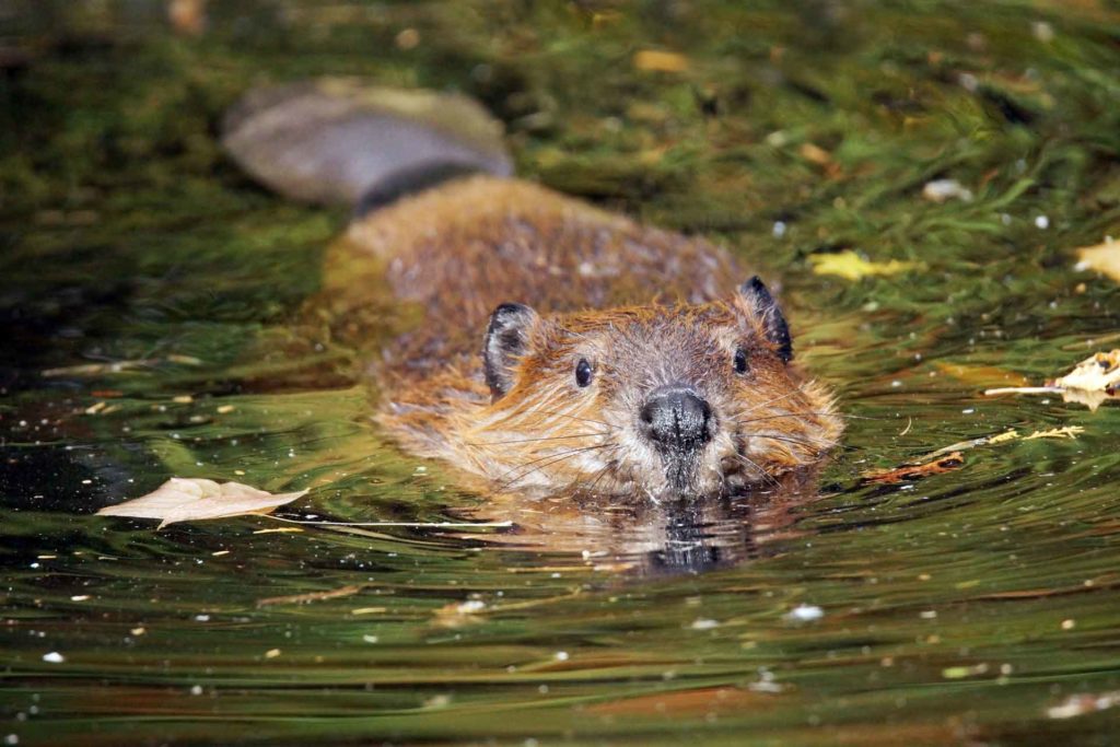
Both names, however, are accurate, in that both otters and whitefish are populous here. One regular visitor to Otter Lake, who prefers not to be named, told me that he often sees otters along the lake’s northeast shore. “I’ll run with a trolling motor along there and you can hear them chewing on fish under the rocks. Sometimes they’ll dive in, and you can watch them come up with a little rock bass.
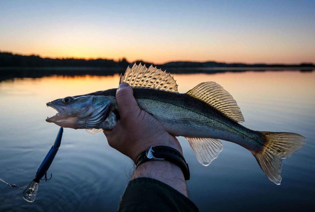
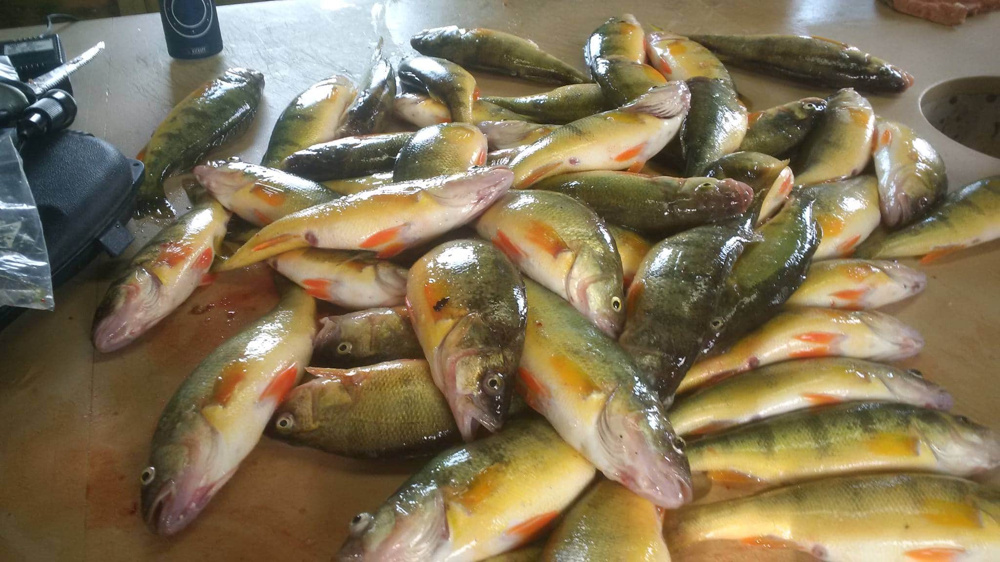
Whitefish are plentiful, too, although not in as large numbers, or hefty sizes, as they once were. According to the same angler, “they used to set nets in there, and would get whitefish as big as 12 or 13 pounds.” Gill netting doesn’t occur these days, but people still catch whitefish.
Cottages and a few year-round residents now ring the lake, which stretches about a mile and a half in length, but most are located in the southern, tapering portion, near the public dock. Here, the shoreline is clad in hardwood forest, and the water quite shallow. On the day I visited, in mid-June, a dozen kids from M’Chigeeng were horsing around on a swimming raft out front of a year-round home. They claimed the temperature was perfect for swimming, but I noticed a few goose pimples, and declined taking a plunge myself.
As you continue down the lake, heading north, the maple and oak forests begin to dwindle; white pines and poplars and cedars taking their place and dwellings begin to thin out too. The water, though, remains shallow for a good half mile or so, as well as remarkably clear. My unnamed angler estimated the visibility at 22 feet, adding that this clarity “makes it hard to catch fish, because they get spooked easily.”
As I paddled along I could easily make out the bottom of the lake, but no fish. Then I noticed a large pipe running along the lake floor and began to follow it to see where it would go.
The pipe doesn’t serve any purpose now (except perhaps as a haunt for smallmouth bass. A long time resident says he often sees them “hanging out there”). For many years, though, the Lakeview subdivision in M’Chigeeng drew its drinking water from Otter Lake. Now, all residents of the community get their piped water from West Bay, Well, almost all. Many of the lake’s residents still draw their water directly from their lake.
From my canoe, the pipe seemed like an endless, twisting snake. Except it probably wasn’t the pipe that was twisting, but just an effect of light filtered through the rippling water, and the yaw of my canoe. Sometimes I lost sight of the pipe in the shadow of the hull and then it would reappear on the other side of the canoe. And then, quite suddenly, it disappeared utterly from view. The lake had abruptly dropped off.
My guide says that, according to an MNRF map he saw once, the lake reaches depths of 170 feet. That’s pretty deep for a lake that’s not much more than a mile long, and not much more than half-mile widest. But it gets even deeper in one spot, according to my anonymous angler, he told me that he’s hit a place with his fish finder that registers 233 feet. “There must be a crevice down there,” he told me, “because 30 seconds later it comes back up to 60 feet.”
I didn’t bring a depth sounder, but the lake did begin to seem inkier and more fathomless as I paddled. It also seemed quieter and more beautiful. I saw only one other boat the day I was there, an aluminum boat with a small motor, whose occupant was quietly fishing. Personal watercraft are banned on Otter Lake, as is any boat motor over 9 horse power, so even in the busiest months of summer, I expect this lake is pretty peaceful.
Peaceful as it may seem, however, there are Ojibwe beliefs associated with the lake that suggest reason to be wary and respectful of its depths. In the book The Island of the Anishnaabeg, by Theresa Smith, both the late Mamie Migwams and Raymond Armstrong spoke about the presence of Mishebeshu, a lynx-like serpent with a long tail and horns.
When I spoke to Alan Corbiere about this, he acknowledged the traditional belief but was reluctant to name the spirit. “Some people, myself included I guess, don’t want to mention the name of the spirit, because he’s awake now, we don’t talk about these spirits in the summer, just the winter.
But he wasn’t averse to talking in general about the belief. “The idea, which doesn’t just occur here but on Lake Superior and across the whole region, is that these spirits live under the earth, and the way that they travel is through cracks, popping up in certain lakes.” Like Quanja Lake in Wiikwemkoong Unceded Territory, and Manitowaning Bay whose very name, properly Mnidoowaazhig, means “den of the spirit” or “subterranean cave of the spirit” in Ojibwe. Otter Lake is unusually deep, says Mr. Corbiere, with “a precipitous drop-off.”
And like Quanja Lake, it had been said to have and unusual colour, or “bad colour,” as some elders describe it in the Theresa Smith book.
As well, notes Mr. Corbiere, Otter Lake is a “high level lake,” considerably higher in altitude than either Lake Mindemoya or Lake Manitou. This, combined with its depth, fuels ideas of underwater passageways leading to the larger lakes.
Nearby places to stay, eat and play
My guide didn’t speak about Mishebeshu, but he did note that “old people used to say that if there weren’t fish in their net, they’d gone through the spring to Lake Manitou.” He admitted that the idea seems a bit strange, since Otter Lake is considerably higher than Manitou, but said that elders would speak of the “water being pushed up by pressure.”Both Mamie Migwans and Raymond Armstrong spoke of whirlpools that had spooked their parents or grandparents.
Whether by a sub-terrarium passage or not, Otter Lake is certainly spring fed. There are no streams flowing into it.
Another elder told me that you can feel the presence of the springs while swimming. “One moment you’ll be in cold water, and then it will be warm.”
The resident of Otter Lake wouldn’t rather be anywhere else. He loves the clear, deep water, alternately cool and warm, and still enjoys fishing here. A number of years ago he was instrumental in getting a stocking program going through the West Bay Fish and Game Club, in conjunction with the MNRF.
Walleye were stocked, as were splake. And although the Fish and Game Club is no longer active, and the splake never reproduced to the extent that was hoped, anglers does still catch splake and walleye, as well as perch, and of course, whitefish, which some believe are better tasting coming out of Otter/Whitefish Lake than Lake Huron, as “they’re not as oily here.”
As I paddled back down Otter Lake to the public dock. I knew nothing about possible underwater passageways to Lake Manitou or splake stocking, or the small beach where generations of M’Chigeeng residents had apparently arrived on foot, to camp. I just knew that I’d enjoyed my spin on this small, special, mysterious lake, and planned to come back.
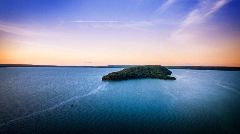
On a satellite map of Manitoulin Island, Lake Mindemoya leaps out immediately: it is a startling turquois hue amid the darker tones of the other lakes.
But this striking beryl-blue colour, appreciable, it should be noted, from the lake’s shore as well as from outer space, is just the most obvious of the lake’s many unique characteristics.
The third largest of the Island’s 100- plus lakes, Mindemoya is also noteworthy for its central location, its swimmer-friendly temperatures, its abundance of whitefish (among other fish species), its importance to both native and non-native communities, and, of course for the dense, hilly island that provides both its signature image and its name.
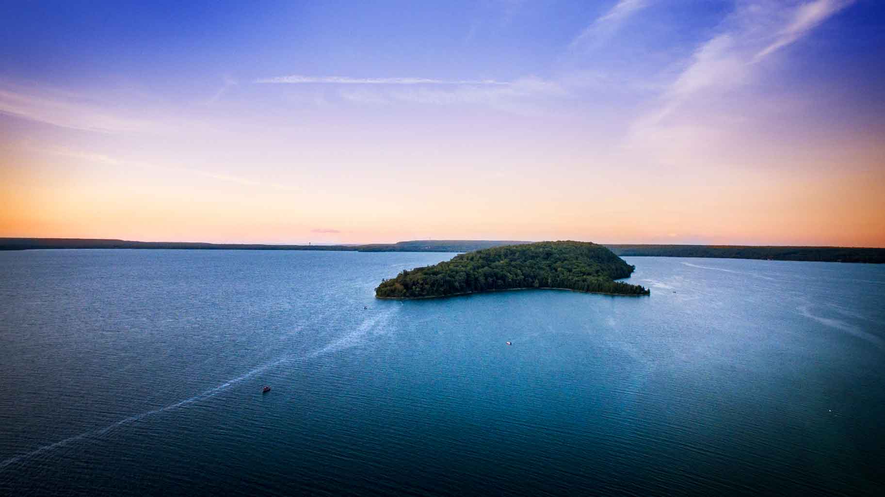
Now called Treasure Island, this 87-acre hump of hardwood-clad limestone, rearing some 300 feet above lake level, was originally known as Mindemoya, or more properly, ‘Mindimowenh,” in the Ojibwetongue, which means “old woman.”
The true pronunciation is subtly (but notably) different from the one employed today. An elder fromthe M’Chigeeng first nation, which spans the northern shore of the lake, notes, “the words got ‘slanged’ a bit to be pronounced easier in English.
The origin of the name is variously explained, but the constant in each version of the legend is that this island, Mindemowenh, is embodiment of an Anishnabek women.
In one version Nanabush, or Nanaboozhoo, the notorious trickster and demigod of Ojibwe belief, is said to have been running north across the Island with his grandmother on his shoulders, when he stumbled, inadvertently shrugging the old woman into the lake. In a more grisly version related by F.W. Major in his 1934 history of Manitoulin, Nanabush beheads one of his wives and kicks her into the water.
A kinder account was passed on by the late Ernie Debassige of M’Chigeeng. According to his nephew, Blair Debassige, Ernie’s version was that the grandmother of Nanabush was dropped in the lake, but not abandoned, as the trickster would return to visit her, assuming (as he was inclined and able to do) a variety of shapes.
Allan Tustian, who has spent most of his nearly 100 years on Lake Mindemoya, (the exception is the five years he spent on much bigger water, serving in the navy during World War II,) has heard many of these stories. And he has many of his own to tell, too.
One even echoes the Ojibwe myth, inasmuch as it involves a woman plunked in the lake. On a particularly stormy day in the 1950s, Mr. Tustian was making a habitual run across the lake, (he worked for the lodge on Treasure Island, which was owned by his sister Jean and her husband Joe Hodgson,) when he came across a pair of people in distress, floundering in six-foot waves.
“It was a woman and her father,” he relates. “They had been out with Billy Vincer, who was a Baptist minister, and had capsized.”
Pulling the father out of the heaving water wasn’t difficult, Mr. Tustian recalls, because he “was a light guy.” The woman, however, was heftier. “Eventually, I just grabbed her with both hands by her girdle, and hauled her in.
Mr. Tustian received a citation for bravery for rescuing the two. Unfortunately, Mr. Vincer had drowned before Mr. Tustian came onto the scene.
The lake isn’t usually so deadly. A typical summer day will find dozens of people lolling in the peaceful, shallow waters, trolling lazily in boats for bass or pickerel, or sun tanning on the shore.
Local anglers reference the “whitefish hole” that the late Fred Wagg discovered “many years back,” a deep, cold, spring-fed dimple in the lake floor that still teems with the tasty species (which are also fine fighters for sports fisherpeople). “There used to be eight to 10 boats at a time all congregated around this hole,” one older fisherman recalls.
The hole, of course, looks nothing like a hole from the surface. “it looks like, well, any other spot on the lake, smooth, turquoise, semi-opaque.” But my local fisherman knows where the hole is. “Years ago” he had some divers go down to confirm his suspicions. They found a greater depth than usual for the lake, and cold water bubbling from a spring.
Lake Mindemoya is, on par, shallow, just 30 feet deep in most places. There is one spot, near Stanley Park, that plummets to about 80 feet, but generally it’s the height of three basketball hoops out in the middle, and extremely ‘wadeable’ near shore.
This accounts for its warm temperature, as well as, partially, for its lustrous aquamarine hue, although locals also credit “the blue clay bottom” for that almost surreal coloration. The blue clay some say, also makes for fine pottery.
Shards of pottery have been found on Treasure Island.
The lodge is now owned by an American company, and privately rented. Many of the original cabins still stand. The lodge retains its impressive stone front but has also been given a considerable facelift and modernized.
People from West Bay, now called by its Ojibwe name M’Chigeeng, also ply the waters of Mindemoya. They still fish the waters, catching whitefish as well as “freshwater herring, as we call it,” says a M’Chigeeng elder.
The island is no longer theirs, nor are the caves on the west shore of the lake where skeletons of their ancestors (perhaps killed by the Iroquois) were found in 1888. This location is now part of Rockgarden Terrace Resort.
Nearby places to stay, eat and play
Whether you explore Lake Mindemoya by car or boat or bicycle, with its numerous beaches, boat launches and picnic spots, the lake invites all manners of experience. It is worth keeping in mind the history and origin of this lake. It is worth a complete orbit, with an eye on the centre.
The village of Mindemoya calls itself the hub of Manitoulin Island. That may be so, in a certain respect, but the proper hub of the area is the steep, striking island from which the village and lake drew its name.
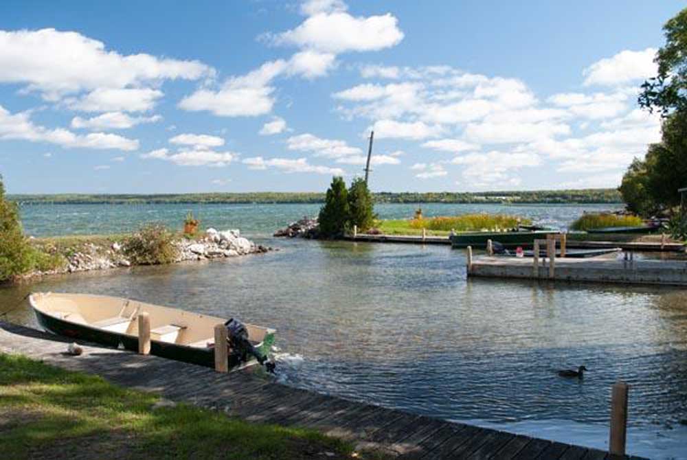
There are two public boat launches on Lake Mindemoya: one at the Government dock on Ketchankookem Trail on the lake’s southern side and other, on the lake’s west side, on Monument Road between Rock Garden Terrace Resort and Stanly Park Tent and Trailer Park.
The public beach at the Ketchankookem boat launch area is a delightful sand affair and there is a nearby pier suitable for jumping in or sunbathing.
A tidy municipal picnic park is just across the road from the beach.
Less than two miles long and mile at its widest, Big Lake is, well, actually quite small. But it’s an attractive lake, its shoreline fringed with leafy hardwoods and scalloped with a couple of small sand beaches.
Drive east of Mindemoya on Highway 542 and you’ll soon see the lake on your right. Lake Manitou is quite close at this point, just a few hundred yards to the north beyond the red barns of the old Dryden farm.
Given its proximity to Manitou, the biggest lake on the Island, the name seems particularly ironic. Did someone name it Big Lake as a joke? Or was there, perhaps, a mistake made here?
The late Marjorie Young, a resident of the lake for many years, suspected it was the latter. “What I’ve always heard is that Manitou was supposed to be Big Lake, and Big Lake was supposed to be Manitou,” she once said.
It seems inconceivable that a surveyor or cartographer could confuse the two, but who knows, bigger blunders have happened. Were it not for a railway planning faux pas, the city of Sudbury probably would have taken root in the deep, level soil of the valley to its north, rather than been plunked on a heap of rock where explosives are required if you want to have a basement.
If the names really were inadvertently switched, it stands to reason that Big Lake must have held a special significance for the local first nations people as the name “manitou”, meaning a spirit or deity, and is not one to be tossed around lightly. Determining whether Big Lake had that sort of importance and mystique for the local Ojibwe is difficult, however; as there hasn’t been a native presence on Big Lake in many years, and no lore seems to have been passed along concerning its role in the lives of earlier Ojibwe.
Today, Big Lake is a quiet but fairly developed lake, with many cottages, a dam at one end, and almost all of it encircled by roads.
As recently as 50 years ago, however, there were few roads and just two modest resorts. “When I first came here (early 1950s) there was just Maple Grove Cottages and Coventry’s Cottages, “recalled Mrs. Young.
At that time, Mrs. Young lived in Ohio, and had come to stay at Maple Grove with some friends. It was here that she met her future husband Kenneth, whose parents Digby and Lena were the owners of the resort. The two married in 1955, and Mrs. Young had lived on Big Lake until her passing.
Maple Grove continues to operate as a resort, but under new owners, a young family translated from South Africa, while Coventry’s is now a private residence. Meanwhile, dozens of cottages, as well as a few homes, have sprouted on the shoreline.
There have been other changes, too. “When I first came here, you could see rock and beach stretching way out, and now the water’s right up against the shore,” remarked Mrs. Young. The reason for the higher water is a dam that was constructed in 1959 at the southwest end of the lake, where a creek flows towards Mindemoya, sometimes flooding the village in the spring.
But while the water level has gone up on Big Lake, the fish population has gone down. “there used to be really good pike fishing in there, but it went downhill from overharvesting,” notes a year-round resident.
The late Bert McKenzie of Tehkummah, recalled at one the time pike literally overspilling the banks of Big Lake. He had worked on the highways, and one spring they had to get out of the trucks and kick the pike off the road. The water had flooded the road, leaving a bunch of spawning pike in the path of the road crew.
During Mr. McKenzie’s life he recalled taking a boat out on Big Lake and then dragging it over to Pine Lake, which is just a couple hundred yards south of Big Lake, to go fishing and duck hunting.
Around that time, there was an eccentric loner who lived on Pine Lake, the old fella came from England and lived like a hermit. The only time the English recluse was seen was when he’d walk out to old Ward’s house to get bread, otherwise he was a hermit who lived off the land at Pine Lake, fishing and hunting, keeping a few cows. He died out under a tree.
After hearing the story, I decided I should probably check out this Pine Lake to see if any contemporary hermits, possibly descendants, were hanging out on its shores.
While in McKenzie’s day you had to cross Big Lake in a boat and then drag it across the “narrows,” as they called the strip of land, you can now drive to Pine Lake on the Big Lake Dam road, which made my mission considerably easier.
I turned off on this dirt road, briefly checked out the dam, which provides a nice view of the lake, and continued on, passing a bunch of cottages, many of them rustic log buildings.
One in particular caught my attention, because of the sign above its door, which read: “Big Lake Yacht Club.” I stopped my vehicle, jumped out, and wandered down to meet the yacht club owners.
The sign, they explained, was created for a float that a group of playful Big Lake cottagers contributed to the Mindemoya Homecoming parade over 35 years ago. It subsequently adorned other floats that participated in the Providence Bay parade.
At the “narrows” leading to Pine Lake, the Cooper family had helpfully built a “bridge” out of wooden pallets to span the swampy ground between the cottage road and the lake. I walked across the bridge and stood on the shore of small, shallow Pine Lake. I didn’t see many pines (probably logged out a century ago), nor did I see any hermit dwellings. But it did look like a good place to hunt for ducks.
Having found Pine Lake, my next mission was to find the public beach on Big Lake which I had been told about. I’d forgotten the name of the sideroad he mentioned, though, so after driving back out to Highway 542 and heading east, I just started turning off onto any road that seemed to lead to Big Lake.
I did see a sand beach, but the landowner politely told me the public one was on the other side of the lake.
Pike were plentiful in the old times, and at one time you could catch musky (planted ones) in Big Lake.
Nearby places to stay, eat and play
While pike are scarce, bass still frequent the lake in decent numbers. According to the year-round resident I befriended, one of his neighbours on Big Lake recently hooked a 9-pound smallmouth.
The lake is quite shallow, with weed beds here and there, even in the very middle. Estimates are that greatest depth is a mere 20 feet. (And that’s since the dam was created to bring the level up.)
I asked about the public beach, and was told me the way to reach it is via Myles Side Road. I thanked him and jumped back in my car.
It was a roundabout way to get there. You have a to drive a few miles away from the lake on Highway 542., then double back towards it on Myles Sideroad.
But it was worth it. The beach was devoid of swimmers when I visited. It also wasn’t very big, just a tiny crescent of sand, a few reeds growing at its edges, and a picnic table whose legs were leaning on a wicked angle, as if it had been partially flattened by a tornado.
Yet it struck me as all the more appealing for these very reasons. It was out-of-the-way, rarely used, private. Private yet public (the property is owned and maintained by Central Manitoulin.)
I didn’t go for a swim, as the waves were pounding in, and the sun had disappeared behind some clouds. But I did appreciate the view from this pretty, obscure, unadvertised spot.
Maybe it’s not a mistake it got named Big Lake after all.
There is a boat launch just off Highway 542 where the road skirts the lake’s north end. It’s located at the west (Mindemoya) stretch of lakefront highway.
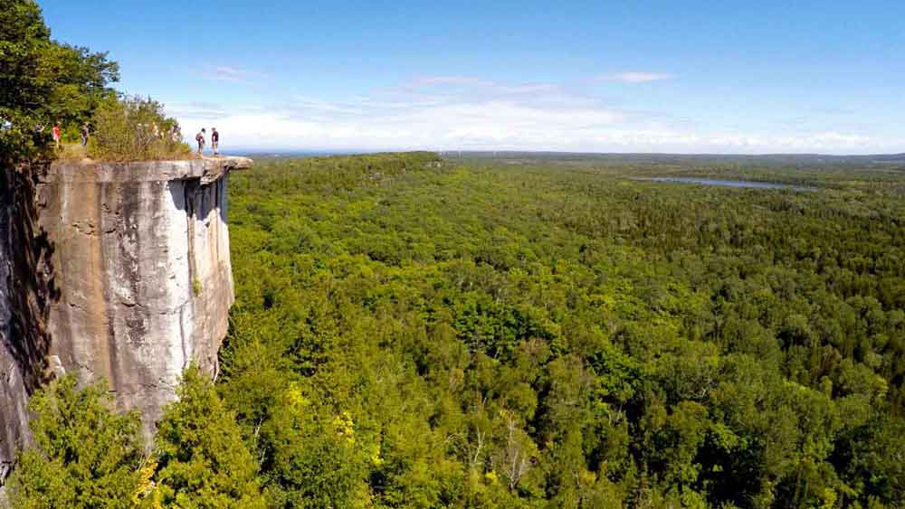
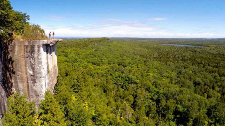
Twenty km west of Little Current, with ample parking and trailhead off Highway 540, 3 km past the Bidwell Road corner, is the well known Cup and Saucer trail. With its dramatic 70 metre cliffs and breathtaking views, up to 12km of hiking trails, and a 2km adventure trail, it is one of the most popular trails in Ontario. Anywhere from 1.5 to 4 hours. Spectacular views over both the North Channel and Lake Manitou.
You may wish to bring:
Water
Snacks
Camera
Compass
Tips from a Local
Manitoulin trails offer something for everyone. Take a look at the difficulty ratings and lengths to find yourself an appropriate hike to suit your needs. It’s better to have a safe and enjoyable time than to get stuck on a trail that’s beyond your comfort level.
Fishing and hunting outfitters too and also salmon fishing charters (out of Providence Bay).
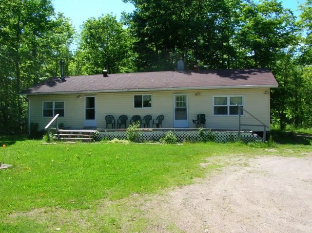
Cosy cottages on Lake Mindemoya (within the M’Chigeeng First Nation) and we also have a classic farmhouse available on 200 acres with a beautiful hardwood bush. Lots to choose from. Close to all local amenities yet just far enough away to be quiet and peaceful.
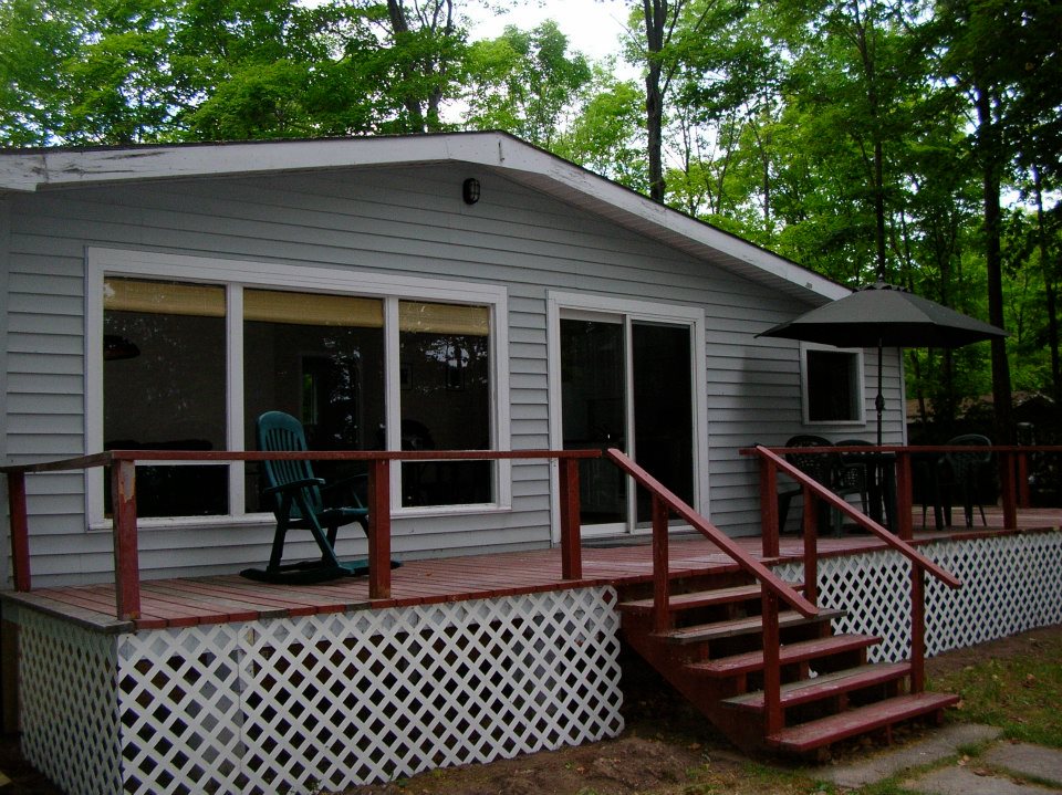
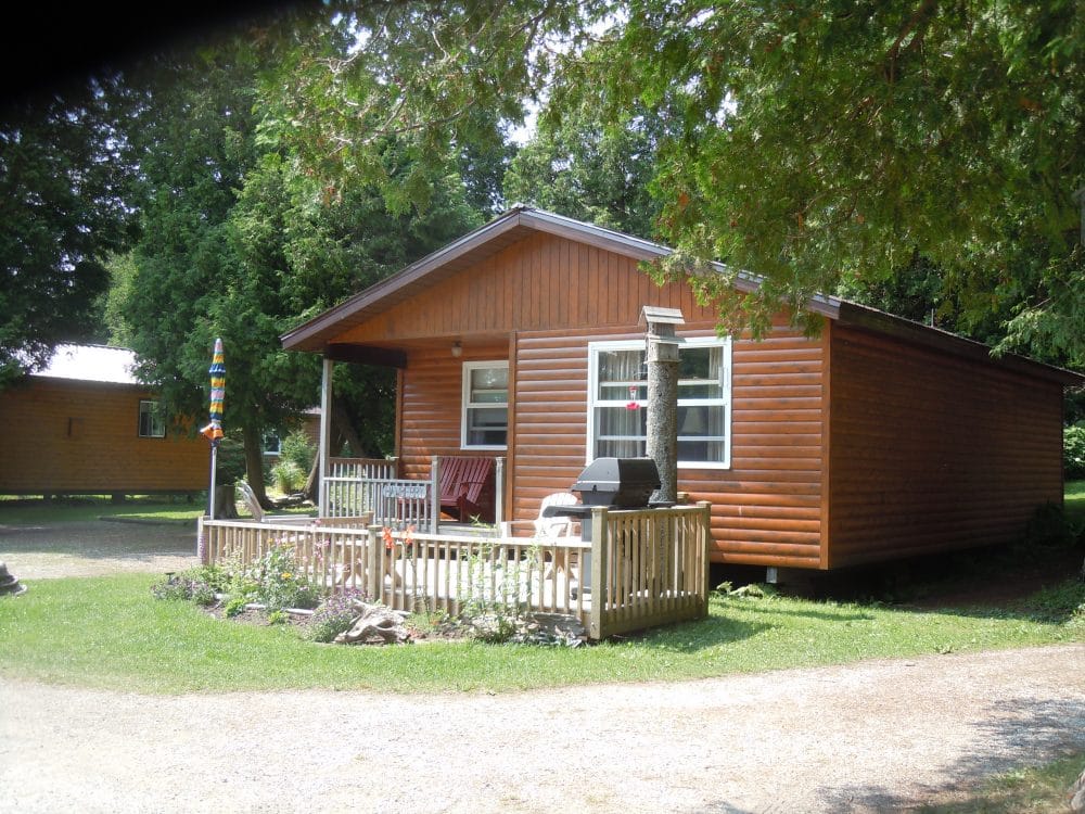
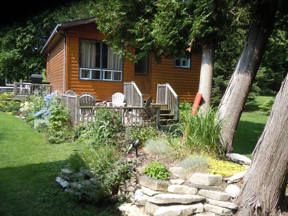
You’ll love the fishing, the ambience, the sunsets and the proximity to golfing (you can walk), shopping and medical/hospital services in nearby Mindemoya. 11 water view units, satellite TV and wireless throughout. Each cottage has its own deck, table/chairs and BBQ.
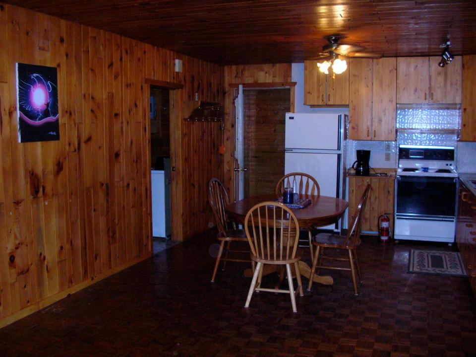
Cottages are 1, 2 and 3 bedrooms, have 4-piece baths, some are wheelchair friendly and are fully equipped and supplied.
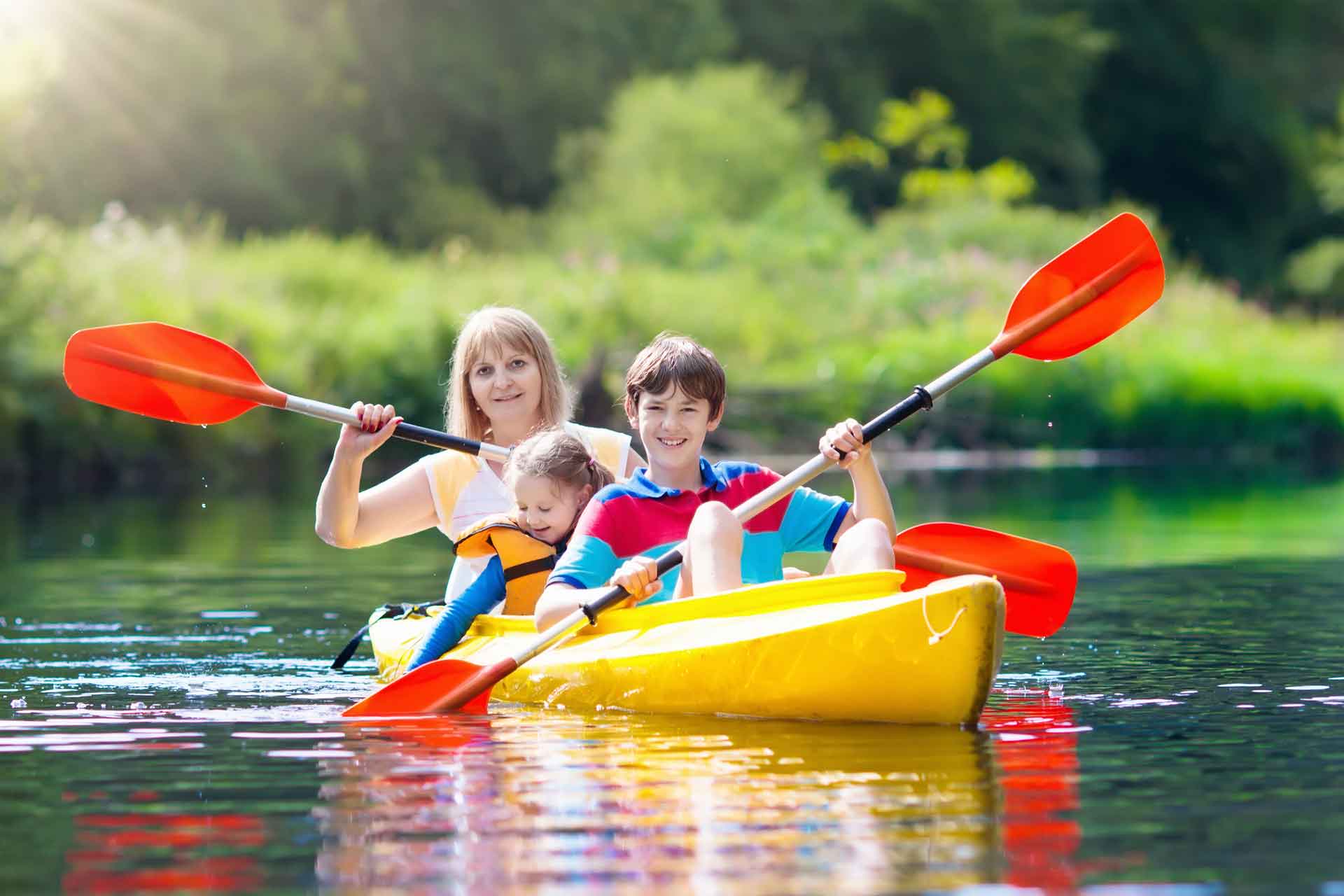
Full Bed & Breakfast also available. Paddle boards, canoes and kayaks free for guests. Lakeside benches and chairs. Feed the fish in our fishpond.
Kids can also enjoy our clean, sandy beaches and playground area.
Boats, motors and dockage rentals available. Fish Lake Mindemoya for perch, walleye, whitefish and bass.
Pirate’s Cove Cottages and Brookwood Brae Golf Course create this four-season luxury resort for family fun and relaxation.
Well equipped deluxe 2 bedroom cottages on the shore of Lake Mindemoya. Golfing, boat rentals for fishing plus a broad range of activities for the outdoor enthusiast. Golf packages available. Weekly summer rentals. 2-night minimum rental, spring and fall. No pets, please.
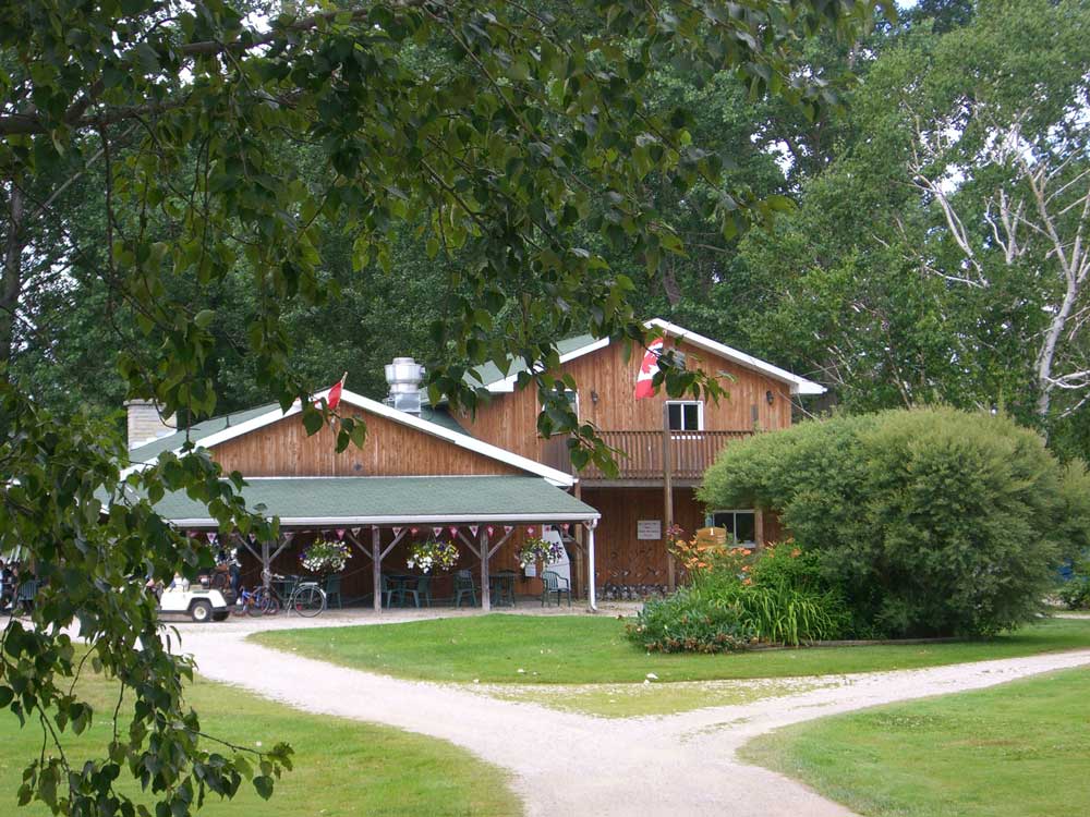
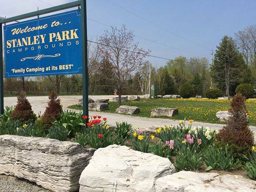
Stanley Park Campgrounds Lake Mindemoya Beautiful campsites for trailers and tents on Lake Mindemoya’s southwest shoreline. This central location is Learn More
Ojibwe Cultural Foundation M’Chigeeng The modern architectural form of the Ojibwe Cultural Foundation (OCF), fully situated in the present, pays Learn More
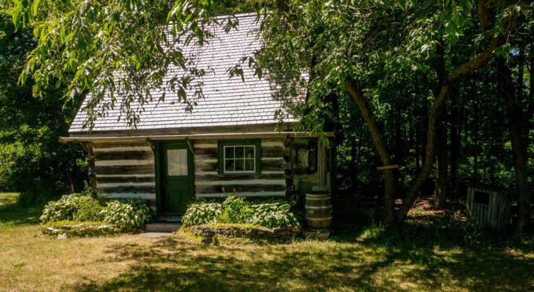
Pioneer Museum Mindemoya On Manitoulin, as each new township was surveyed after the still-controversial 1862 Treaty between the Anishinaabek and Learn More
We welcome both families and fishermen and offer quality accommodations at an affordable price.
We are a series of modern fully equipped 2-3 bedroom lakefront cottages nestled in the cedars on the picturesque shores of Lake Mindemoya in a sheltered, sandy bay. Boat and motor rentals, free use of canoe, paddle boats and kayaks for guests. Wi-Fi.
Kids enjoy crayfish and minnow hunting or enjoying our large playfield, playground, volleyball, badminton and lakeshore campfire pit. Minutes to Mindemoya. Walk to golf.
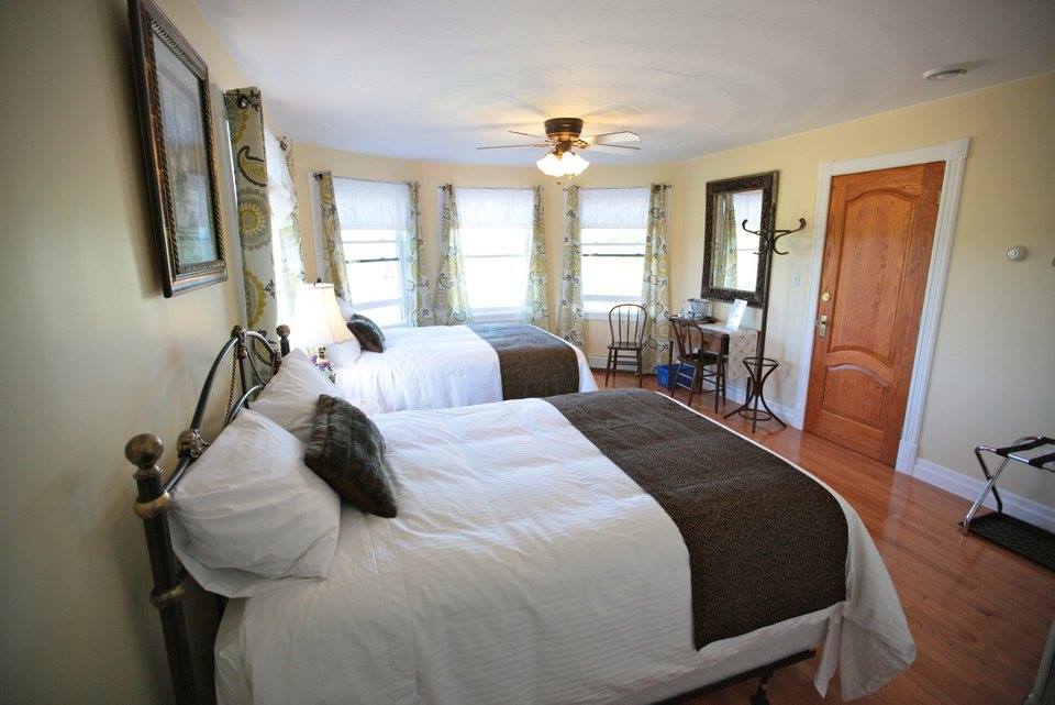
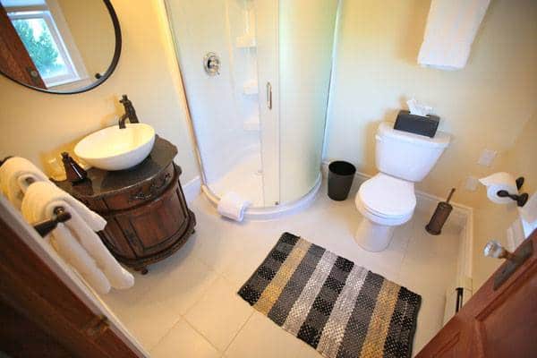
Twin Peaks offers four elegant, comfortable rooms in a private and relaxed environment on a year-round basis. Set on 12 lush acres, this spacious Victorian inspired home is situated in Central Manitoulin close to the town Mindemoya. Each room has a private en-suite bathroom, flat screen TV, DVD player, mini fridge, individual A/C and heating, plush linens, bathroom amenities and access to a fridge. Included with the rates is a delicious freshly made breakfast and coffee and tea is complimentary anytime! Your stay with us is sure to be memorable!