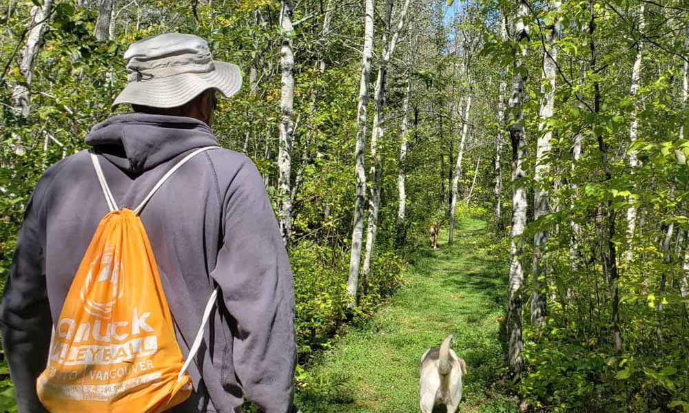
Located at the end of Beach Road in Wikwemikong, this trail is 14 km of easy to intermediate trails, spectacular lookouts and educational signage. The Outdoor Fitness Park section of the trail is a double track, granular surfaced trail with five fitness stations equipped with outdoor fitness equipment so that trail users can take advantage of resistance training in a scenic natural environment.
Call (705)859-3477 for more information.
You may wish to bring:
Water
Snacks
Camera
Compass
Tips from a Local
Manitoulin hikes can to have a lot of elevation changes over rough terrain. Be sure to pack plenty of water for each person and carry it in a backpack or other hands-free carrier. That way, you’ll have your hands ready to help navigate the trails.
‘Vibrant Gardens and Fine Dining’ is the way the owners-operators-chef advertise this unique dining spot that operates spring, summer and early fall (until Thanksgiving.) The restaurant in Tehkummah beside Highway 542 and on the banks of the Blue Jay Creek is situated in a beautiful ever-changing garden and features unique specials using Manitoulin sourced ingredients. “A gift for the senses.”
With its unfortunate name and confusing status, many maps still mark aSucker Lake Indian Reserve (No. 25), although it hasn’t been a reserve for years. Sucker Lake tends to discourage visitation.
This is a shame, for Sucker Lake is an idyllic, peaceful spot with three uninhabited islands, a small public beach and boat launch, a fair number of perch and bass, and … absolutely no suckers.
“I’ve been coming back here for 50 years to fish and I’ve never seen a sucker in the lake,” says Murray Haner.
Mr. Haner grew up in Hilly Grove, near Manitowaning, and in 1969 acquired a farm and cottage property on the east shore of Sucker Lake. From May to November, the retired police officer doesn’t budge from his Sucker Lake retreat, while wife Gloria joins him as often as she can.
A neighbour of Mr. Haner’s also didn’t know why the name stuck to the lake but overserved “Your guess is as good as mine.” “One story I’ve heard is that it’s named after bloodsuckers.”
Bloodsuckers (ie. leeches) do, indeed, inhabit the lake, but not in any greater quantities than occur in many other lakes. The name still seems unfair.
A number of years ago there was a movement to have the lake renamed. Dave Ham, the reeve of Assiginack Township at the time (and now the municipality’s Mayor) recalls that “a chap from Little Current approached me, and said what an awful name for a pretty little lake.” An alternative name was shortly proposed, but there wasn’t enough support for it.
A long-time permanent resident of the lake, reflects, “it’s been Sucker Lake all these years, why change it now?”
Mr. Ham’s choice for a replacement name at this time was Assiginack Lake, a tribute to the famous and controversial native chief John Baptiste Assiginack (aka Blackbird) whose family resided on the Sucker Lake Reserve in the late 19th Century.
Although few people inhabited the reserve after 1968 (at its peak, there were about 50 people, according to historian Shelley Pearen), a few descendants of Assiginack stayed on through the early half of the 20th Century. Finally, around 1950, Eddie Clark, took over the reserve land from his uncle Angus Assiginack. From that time forward, the land, which spans 680 acres and touches on both Sucker Lake and Lake Manitou, was considered privately owned and no longer a reserve.
Ms. Pearen says that the reserve was never an ideal location, and that the First Nations folks who had previously lived at Manitowaning were given a raw deal in being moved there. A corrupt Indian agent named Dupont “wanted the good land for himself,” she says, “and bought up most of the town plot in Manitowaning in the names of relatives and friends.”
Being relatively remote, and not blessed with the numbers of fish found in the bigger waters, there was never much to sustain a community. “In this sense, Sucker Lake was aptly named, I suppose,” quips Ms. Pearen.
Could it be that the lake got its name because the Indigenous settlers there were “suckered” into living there? Probably not, but it’s an interesting way to look at it.
At any rate, people who seek out Sucker Lake today for an afternoon of fishing or a dip in in its relatively shallow waters (the deepest point is about 24 feet, with 12-14 feet being the usual), are not apt to feel hoodwinked or disappointed. If anything, they will likely be surprised by how scenic the lake is.
Not to mention quiet. With only a few residences on the entire lake, three of them seasonal, there’s plenty of uninterrupted shoreline and very little boat traffic.
Mr. Haner and wife Gloria occasionally take a canoe or pedal boat out on the lake. The latter is Mrs. Haner’s preferred mode of transport. “My grandson Ryan and I would go out in the pedal boat and fish for bass,” she says with a laugh. One bass which was caught again and again, and released each time, was dubbed “ol’ Scarface” by Ryan, now a Mindemoya businessman.
Timbering also used to occur at Sucker Lake. And evidence of the logging still shows up in the form of notched timbers, possibly used as boom logs, that lurk under the surface of the water.
Today, visitors can follow the Sucker Lake Road, found just north of Manitowaning, and very easily reach the public launch and beach on the lake’s northest shore.
While not a terribly big lake, the scenery is varied with steep bluffs on the west and southeast shores and the three islands strung out in a row in the middle.
And while the lake has a remote feel to it, it’s not really that far back in the bush. The Haners say they often hear the Chi-Cheemaun ferry blowing its horn at South Baymouth and Lake Manitou is just a mile or so to the east.
“Our son and Andre LeBlanc used to take a canoe and portage it from here over to Manitou,” says Mrs. Haner of those days gone by.
Presumably the portage is downhill, since Sucker Lake is quite a bit higher than Manitou. According to Dave Ham, who has flown over all of the lakes on Manitoulin at some point or other “Sucker Lake is 55 feet above Manitou, and 230 feet higher than Georgian Bay.”
That doesn’t make it the highest lake in the Island (Mr. Ham says Whitefish Lake, on the M’Chigeeng First Nation, has that distinction), but it’s up there, so to speak.
Sucker Lake does, on the other hand, probably have the distinction of being the least appealing by named lake on Manitoulin, although Mud and Mog lakes don’t sound much more tempting.
Nearby places to stay, eat and play
That it hasn’t been renamed Assiginack Lake may have as much to do with uneasiness about the legacy of the famous and famously contradictory chief, as it does with tradition.
Mr. Ham notes that Chief Assiginack was unpopular among many First Nations people for signing the 1862 Manitoulin Treaty (which opened Manitoulin for settlement) and was effectively “booted out of Wiikwemkoong” as a result.
Assiginack was also known to shift allegiances at a whim between the Anglican and Catholic churches, says Mr. Ham, with the result that he effectively alienated himself from both at one time or another.
At the same time, though, Blackbird, was a very dynamic and intelligent man, a much-valued interpreter, and a great war hero, having fought many battles in the War of 1812 in defence of Canada against the United States invaders.
It is not clear how long he lived at Sucker lake, but Ms. Pearen says that “when he had to leave Manitowaning, that’s where he went.” In her book Exploring Manitoulin, she writes that the homestead of J.B. Assiginack exists near Sucker Lake, although nobody on the lake seems to know of its whereabouts.
Probably it has faded into the ground. The former reserve, however remains in the hands of the Clark family, who are descendants of the famous chief, so the thread has not been broken.
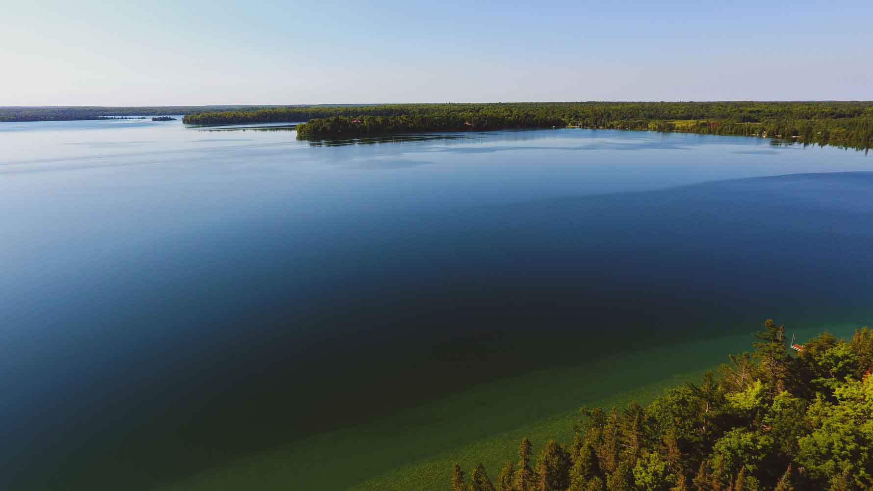
LAKE MANITOU—The largest lake within a fresh water island in the world, with 90 miles of shoreline and depths of up to 162 feet, Lake Manitou is a sublime, nearly unfathomable sprawl of blue.
Perhaps this is why it is named “Manitou,” the Ojibwe word for a spirit or power being, in this case apparently referring to the greatest spirit of all, Kitche Manitou. But Manitou, for all its size, is not an ominous or forbidding lake. Over the years, its surface has been ably plied by everything from canoes and ferries to runabouts and personal watercraft and its exceptionally clear, clean waters offer a paradise for swimmers, anglers and scuba divers.
Yes, it is the deepest lake on the Island. But it is not, notes veteran fishing guide Jack Hayes, as deep as it was once thought to be. “If someone drowned, they would throw out a grappling hook, but they didn’t allow for drift of the line, so they were fooled into thinking it was 300 feet deep.”
Not that the bottom of Manitou is often dragged for bodies. Indeed, Mr. Hayes recalls one drowning: John Wright, a well driller from Mindemoya, went through the ice along with another man while salvaging a vehicle that had sunk the previous week. Mr. Hayes knows the lake as well as anyone. For 35 years he worked as a fishing guide on Manitou, first for Mountainview Lodge and then Timberlane Lodge. He is retired now.
About a 25 years ago he was hired on as boat captain for a hydrographic survey of Manitou. He knows where the fish are, and the reefs too.
“We were depth sounding for shoals, doing surveys for water safety,” he recalls. Since that survey, “a lot of the bad shoals have been marked with buoys,” and a detailed map isavailable showing their whereabouts.
Mr. Hayes notes that all the shoals, and there are a lot, over 400, run in the same direction, northeast to southwest, “because this is the way they were shaped by the glacier.”
Many other land formations on Manitoulin have the same orientation, including the Cup and Saucer Bluff, which, incidentally, provides an excellent panorama of Lake Manitou if you follow the popular hiking trail to its summit.
One particularly dangerous shoal out in the middle of Lake Manitou is named “Acre Shoal.” It may not be the exact size of an acre, but “it runs a good 150 feet, and is all hard rock,” says Mr. Hayes.
Manitou is famous for its fish, which include bass, perch, whitefish, pike and pickerel, but most notably, lake trout and ling. “It’s a natural lake for lake trout; since before the white man, they’ve always been here,” says Mr. Hayes, adding that, apart from Wolsey Lake (which is attached to the North Channel, hence not technically a lake), “it’s the only real lake for lake trout.”
It’s the depth of Manitou that accounts for its lake trout population, but, also, says Mr. Hayes, “its oxygen, and Manitou has a lot of springs.” These factors also explain the presence of ling. “Ling won’t stay anywhere but a clear, deep water lake.”
Clear and deep, that’s Lake Manitou, and clean. Until fairly recently, many people drew drinking water directly from the lake, without filtering.
Carol Sheppard, who operates the Rockville Inn on Green Bay, the northernmost bay on Lake Manitou, and has lived here for many years, says “we used to always get zero/zero readings” on water quality tests, meaning there was absolutely no bacteria or ecoli. The water quality got worse for a while in the 1970s, she says, due to old, substandard septic systems in place at most homes and cottages Now, Manitou is again a remarkably clean lake.
Ms. Sheppard is partly to thank for this. As a councillor of the former Howland Township, she led a drive to get many of the septic systems on the lake inspected through the Ministry of Health and to educate people about water quality.
Her concern began, she says, “when I was on my honeymoon down at Lake Erie. Coming from here, I’d never seen a brown lake before. I had to ask someone why it was that colour.” She says that ever since that wake-up call, she’s been determined to make sure that Lake Manitou retains its uncommon clarity.
And so far, it has. “I’ve scuba dived in this lake, and you can see 10 to 15 feet,” Ms. Sheppard remarks.
She’s also snowmobiled much of the lake and flown over it as well. In March, Ms. Sheppard says, the view from a plane reveals “a whole bunch of air holes”, spots in the ice surface that are either open or only thinly crusted over, a result, she believes, of either a spring or natural gas. “We have a picture of one hole, where it’s just bubbling,” she says.
One time she and her late husband Ron nearly drove a jeep into an air hole during winter, and another time “one of our neighbours (the late Larry Appleby) had his golden retriever fall in one, but he luckily managed to lasso her with a rope just before she drowned.”
It was Ms. Sheppard’s grandfather, Stan Batman (her maiden name is Batman), who first told her about the air holes. He also talked about crossing Lake Manitou in winter with livestock. “If he’d bought a cattle beast in Mindemoya, he’d bring it across Manitou on his way back to Sheguiandah,” the granddaughter says.
In the early days says of Manitoulin settlement, there was also a regular ferry route from the historic community of Van Zant’s Landing, on the southeast shore of the lake (where Manitoulin Resort is now located) to Lehman’s Landing on the lake’s west side, near the present-day turnoff on the Rockville Road to Camp Mary Anne.
Ms. Sheppard’s great-grandfather, Thomas Batman, operated that ferry. And, in a moment of entwined family lore, it was this predecessor of Ms. Sheppard (nee Batman) who “brought old man Sheppard”, aka Albert Sheppard, the grandfather of her late husband, Ron Sheppard, “across the lake,” a phrase that acts as both a literal description of what happened and an euphemism for “delivered him to his future home.”
Albert Sheppard was a locksmith, and his services, so the story goes, were required in Mindemoya, because the safe at the old Wagg’s Store couldn’t be opened. He went to Wagg’s and did his job, but it was the northwest shore of Lake Manitou, experienced during that ferry ride, that stuck with him. “So he decided to settle here in Rockville,” recounts Ms. Sheppard.
Which is where the ferry operator’s great-granddaughter and locksmith’s grandson made their family home and where Ms. Sheppard and one of her sons live to this day.
Nearby places to stay, eat and play
Rockville is one of many communities, most of them tiny and informal, but formerly bustling and organized, that dot the shores of Lake Manitou.
Apart from Rockville, there’s also Green Bay, Bidwell, Big Lake (just inland from Manitou) and Sandfield. The latter is the most happening community these days, but the others all sported post offices and school houses and churches in their day, and many of those buildings still stand.
If you tour the lake by boat or drive some of the cottage roads, you are also apt to glimpse a style of architecture that seems, if not unique to Lake Manitou, certainly most plentiful here: the so-called cedar pole building. Many cottages and lodges on the lake are constructed in this manner, in which the cedar logs are aligned vertically with the bark left on.
Ms. Sheppard says that most of these buildings, in the northern part of the lake, at any rate, are the work of the late Alfred Spry, who, true to his name, was spry to a ripe old age. So was his wife Lily Spry (nee Snow), who, despite going blind at the age of 27, worked as a midwife and lived to the age of 104.
Ms. Sheppard’s grandfather, Stan Batman, lived to 102.
And they all, presumably, drank water straight out of Lake Manitou!
One could probably do so now, too, but it is recommended that you filter or treat the water. As Mrs. Sheppard notes, “after Walkerton, you can never be too careful.”
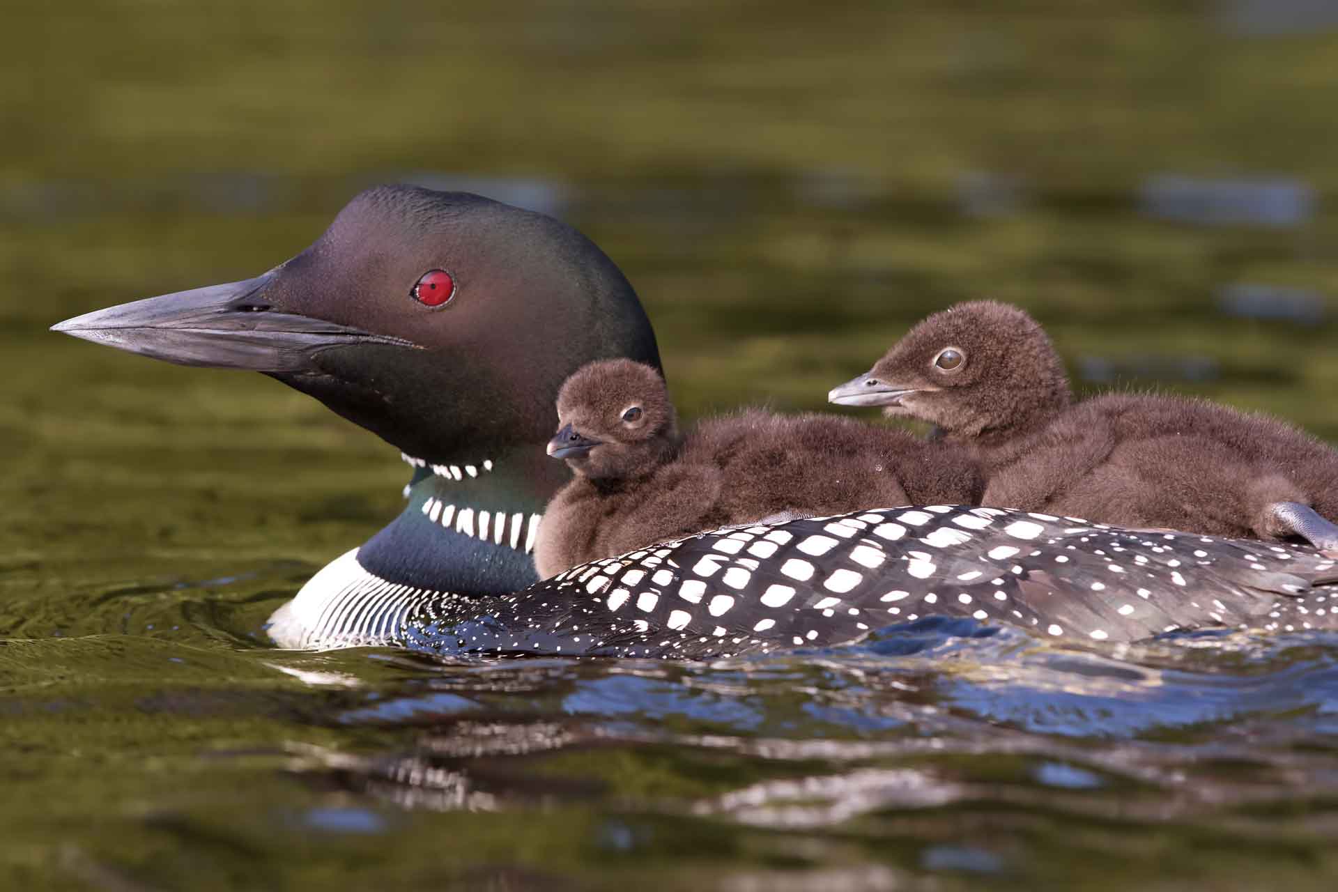
But even if you aren’t dipping a cup straight into the lake, Manitou’s crisp, clear waters, teeming with lake trout and bass and perch, and home to numerous pairs of loons, cry out to be experienced up close, ideally by boat or by actually immersing yourself.
Public boat access to Lake Manitou is provided in three locations: at Newby’s Bay (on the Rockville Road southwest of the community of Rockville), at Sandfield, and just beside Manitoulin Resort (just off the Bidwell Road and very close to Manitowaing.)
There is also a wonderful little public beach at the tip of Green Bay where the Bidwell Road meets the lake. The spot is known as the John Dunlop Memorial Park.
Alternatively, you can hike the Cup and Saucer trail, and gaze out over the breath-catching immensity of the lake.
You won’t see it all, even from this promontory, but you’ll get s good sense of its grandeur.
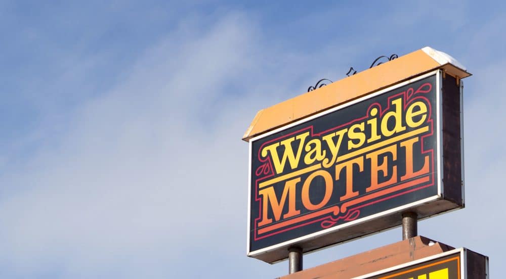
You are warmly invited to our little independently owned and refreshingly unconventional motel.
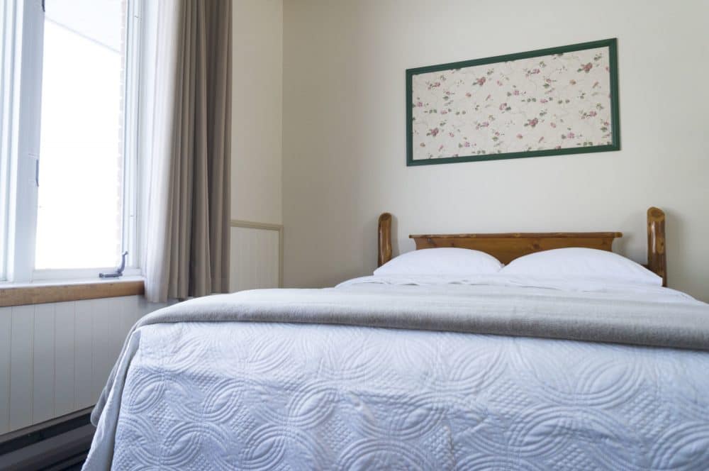
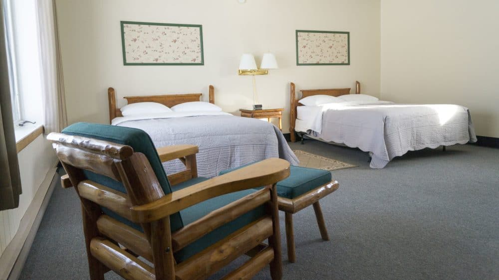
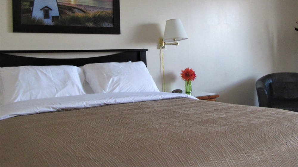
We are located at the gateway to the historic and vibrant town of Manitowaning at the intersection of Highway 6 and Queen Street and are centrally positioned within the Highway 6 corridor. Our spacious rooms have been recently renovated to provide you with a comfortable, homey experience and a well-deserved rest.
We offer 6 rooms – one room with a queen-size bed and five rooms with two double-size beds – each equipped with coffee maker, kettle, small fridge, microwave, TV and Wi-Fi, very comfy pillow-top mattresses and washrooms with tub/shower combination.
Our furniture and art are all “Made in Manitoulin”. Guests’ BBQ, ample parking and the surrounding green space are open for you to enjoy.