Manitoulin Eco Park
Difficulty ★★★★ • Approx. 2 – 4 Hours
- Car Park
- Public Toilets
- Pet Friendly
- Wheelchair Accessible
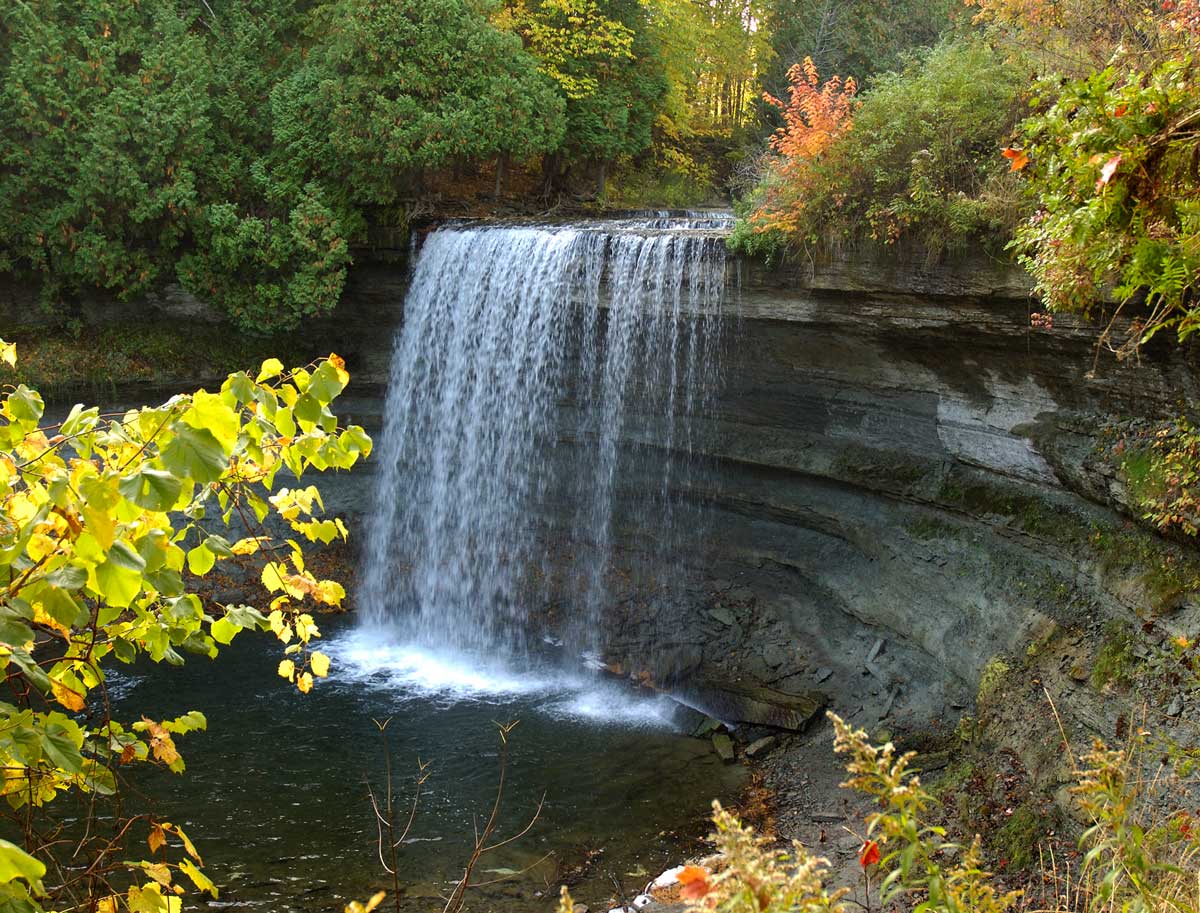
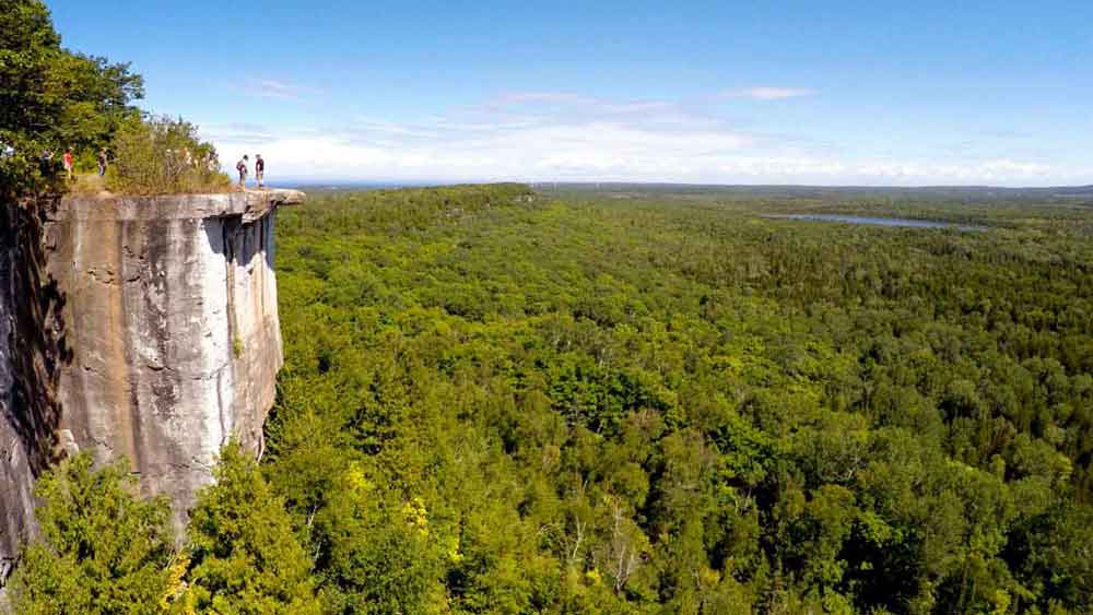
On Hwy 6, just north of Hwy 542, this private park offers a nature interpretive centre with three complimentary hiking trails through five different eco systems (wetland, forest, meadow, pond, escarpment). The Interpretive Centre features mounted animal displays of bears, wolves, hawks and owls plus interpretive information on mushrooms, fossils, edible wilds, astronomy, birds, trees, wildflowers and animals. Picnic area, pool, mini putt, camping, tipi tenting, B&B and store. Observation Deck, Bird Blind, Dark Sky Sanctuary & Astronomy Observatory. Star-gazing night hikes, Perseid events and much more. www.ManitoulinEcoPark.ca
You may wish to bring:
- Water
- Snacks
- Camera
- Compass
Tips from a Local
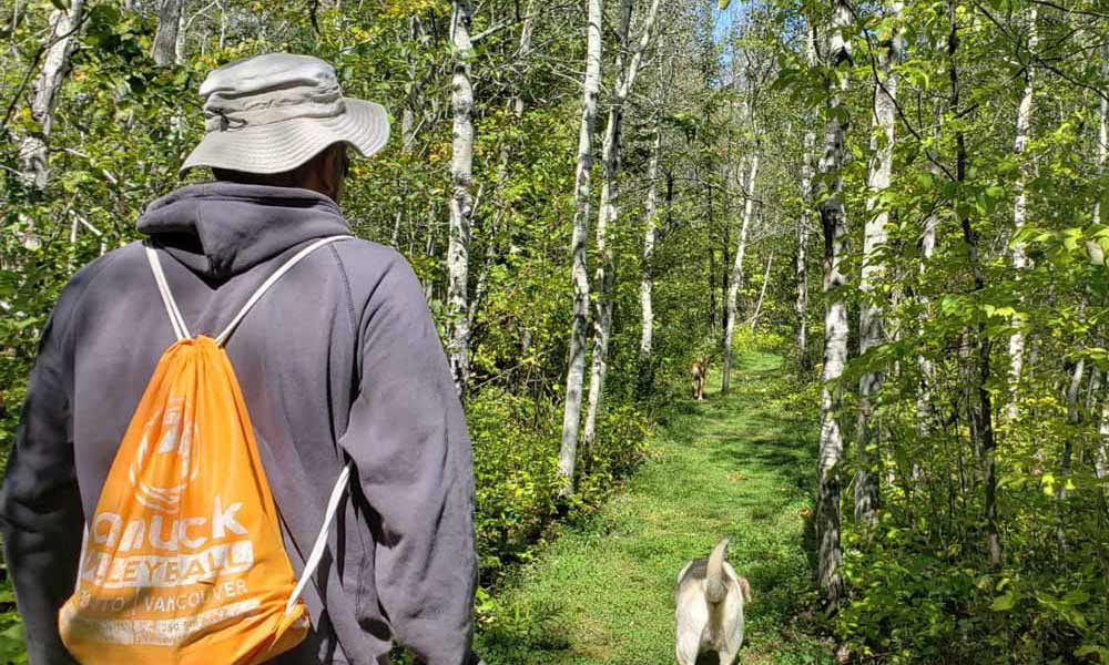
Manitoulin hikes can to have a lot of elevation changes over rough terrain. Be sure to pack plenty of water for each person and carry it in a backpack or other hands-free carrier. That way, you’ll have your hands ready to help navigate the trails.