Conservancy has spent decades helping you experience Manitoulin’s nature

Rocky lookouts along Manitoulin trails afford the hiker magnificent vistas.

by Warren Schlote

Nature has drawn many people to Manitoulin Island for generations. But this place’s abundance of pristine lakes, forests and rocky lookouts is no accident—groups like Escarpment Biosphere Conservancy (EBC) have spent decades of time and millions of dollars preserving the Island’s greatest natural treasures.

More than 25 years since it began in 1996, EBC now protects 4,905 acres of land on Manitoulin Island (7,400.3 acres if you include its land reserves in the LaCloche mountains, just minutes north of Manitoulin). That’s especially significant because the vast majority of Manitoulin’s land is privately owned.

EBC executive director Bob Barnett spends the better part of an hour with this reporter, leafing through his property records. His list of land purchases runs in chronological order from the mid-’90s to the present day. 

Every property has a story, and as Mr. Barnett scans the list, expressions like “wow,” “exciting” and “oh my goodness” frequently escape his lips.

“This work is a never-ending source of joy to me. The people that have donated money or their land, you can tell they’re living their lives properly and they’re just a joy to work with,” says Mr. Barnett.

Although EBC is headquartered in Toronto, its connection to Manitoulin Island runs deep.

Manitoulin falls within the geography of the Niagara Escarpment, a landform that stretches from upstate New York and right across southern Ontario, before re-appearing on Manitoulin Island and Cockburn Island and arcing back southward. It ends as far southwest as Milwaukee.

But many see the escarpment as only stretching from Niagara Falls to the Bruce Peninsula, something Mr. Barnett and his colleagues have struggled with. In 1996, they were volunteering with the Bruce Trail Conservancy (which looks after the legendary 900-kilometre hiking trail that connects Tobermory to Niagara-on-the-Lake).

The trail group focused on the land along the Bruce Trail, but Mr. Barnett and his colleagues dreamed bigger, seeing the importance of the Niagara Escarpment ecosystem as a whole. Even Ontario’s official Niagara Escarpment Plan only covers the eastern edge of the Bruce Peninsula.

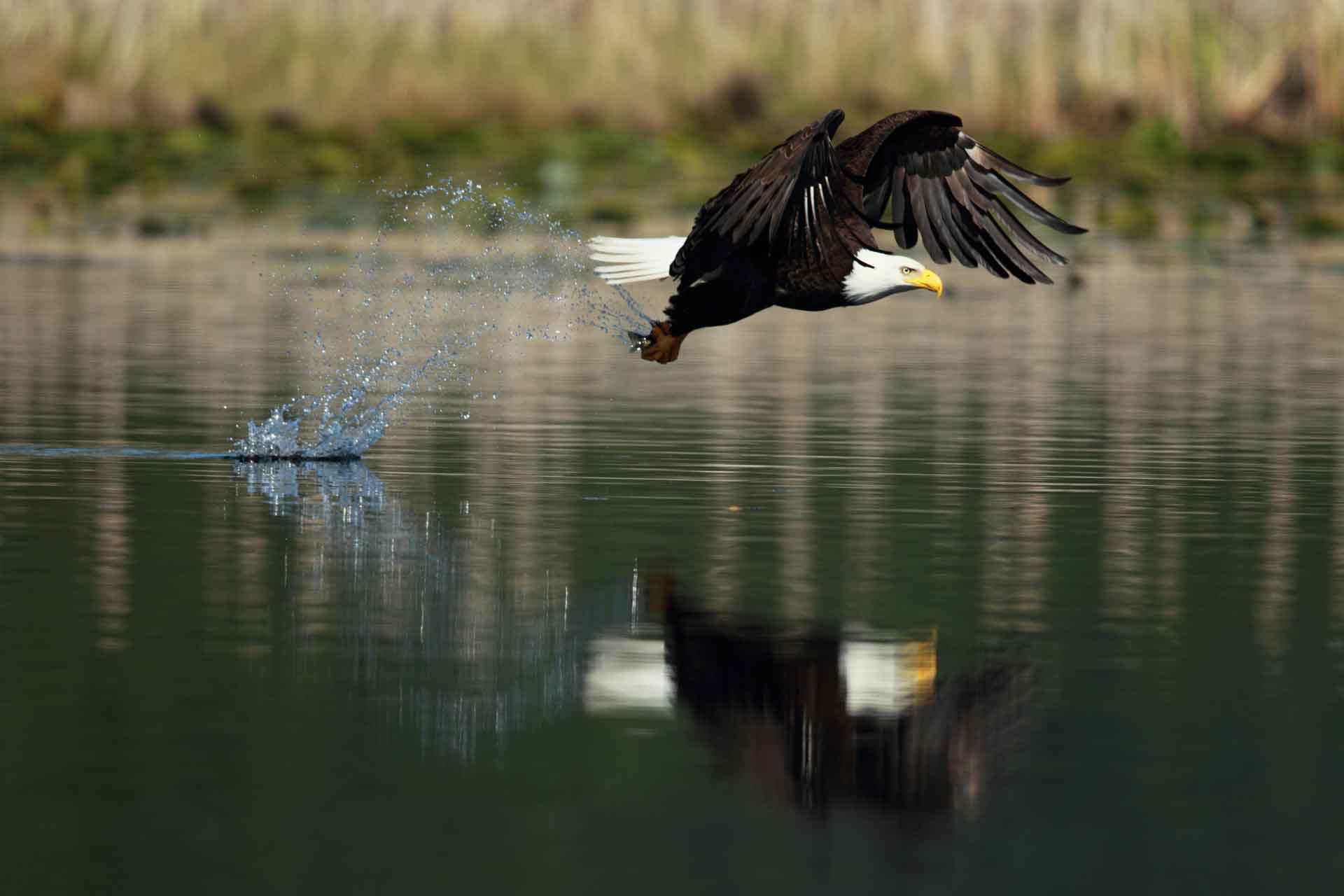
But why is the escarpment so special? Since 1990, it’s been designated as a UNESCO Biosphere Reserve, one of only 19 in Canada. Its special qualities include the longest stretch of mostly forested land in southern Ontario, the greatest diversity of geographic landforms in southern Ontario, the highest level of species diversity among all of Canada’s biospheres, and being an important habitat source for about 70 species at risk.

That biosphere designation also ends at Tobermory, but for Mr. Barnett and the founders of EBC, it was only natural, if not urgent, to include the Island in their conservation efforts.

“Right from the get-go, we knew Manitoulin Island was important,” he says. The group’s history of land acquisitions bears out that importance.

**

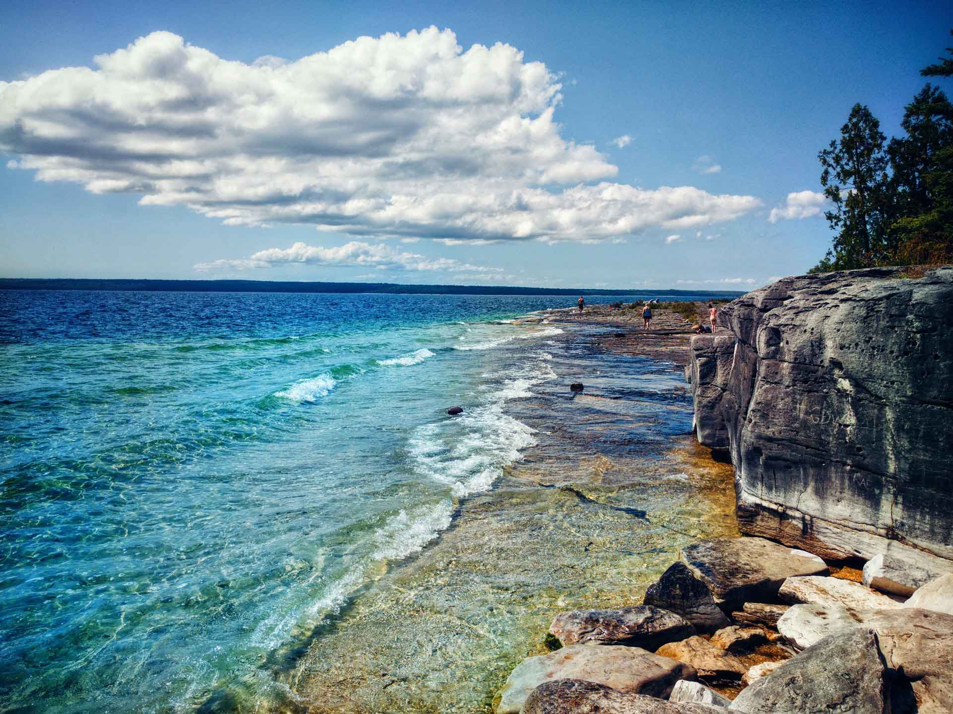
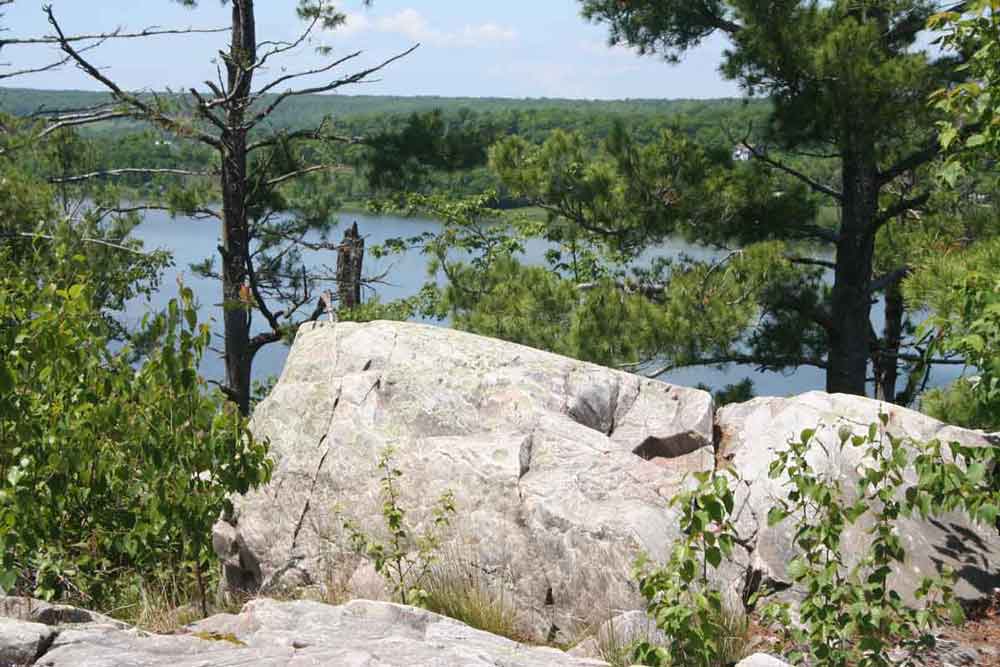
EBC’s first project on Manitoulin Island was the famed Cup and Saucer, a hiking trail that has become one of Manitoulin’s premier attractions. Mr. Barnett’s group bought 300 acres of it in 1999, then added 47 more acres in 2000. Those were the third and fourth nature reserves EBC had ever purchased.

Escarpment Biosphere Conservancy now protects 7,400.3 acres of land on and near Manitoulin Island.

In recent years, EBC has added improved signage to the trail and a massive parking lot off of Highway 540. Despite the massive new parking facilities, the Cup and Saucer is so popular that it occasionally overflows with hikers’ cars on the busiest days of the summer.

The popularity of the Cup and Saucer highlights EBC’s philosophy toward conservation. 

EBC lands often contain rare habitats or species at risk, both of which could be harmed with any human activity. But despite that, Mr. Barnett says it’s important to allow people to access protected areas.

“We put a big focus on trying to demonstrate how much value nature is adding to our lives,” he says. “Nature is providing quite a wide range of services to humans. We want to improve those nature services and share knowledge with people about how important nature services are.”  

Those nature services can include things like wetlands absorbing floodwater or trees removing carbon dioxide from the air. A 2009 report for the Ontario Ministry of Natural Resources said ecosystem services have a value of about $84.4 billion per year in southern Ontario alone!

Prioritizing public access sets EBC apart from some conservation organizations. The Nature Conservancy of Canada (NCC) owns far more land on Manitoulin and Cockburn Islands than EBC, but Mr. Barnett says he doesn’t often hear of that group encouraging the public to use its lands.

“EBC is the major driving force to improving access and getting more nature conserved up there,” he says. “That’s not a criticism by any means; I appreciate that (NCC) wants to help keep nature natural but … we put a big focus on trying to demonstrate how much value nature is adding to our lives.”

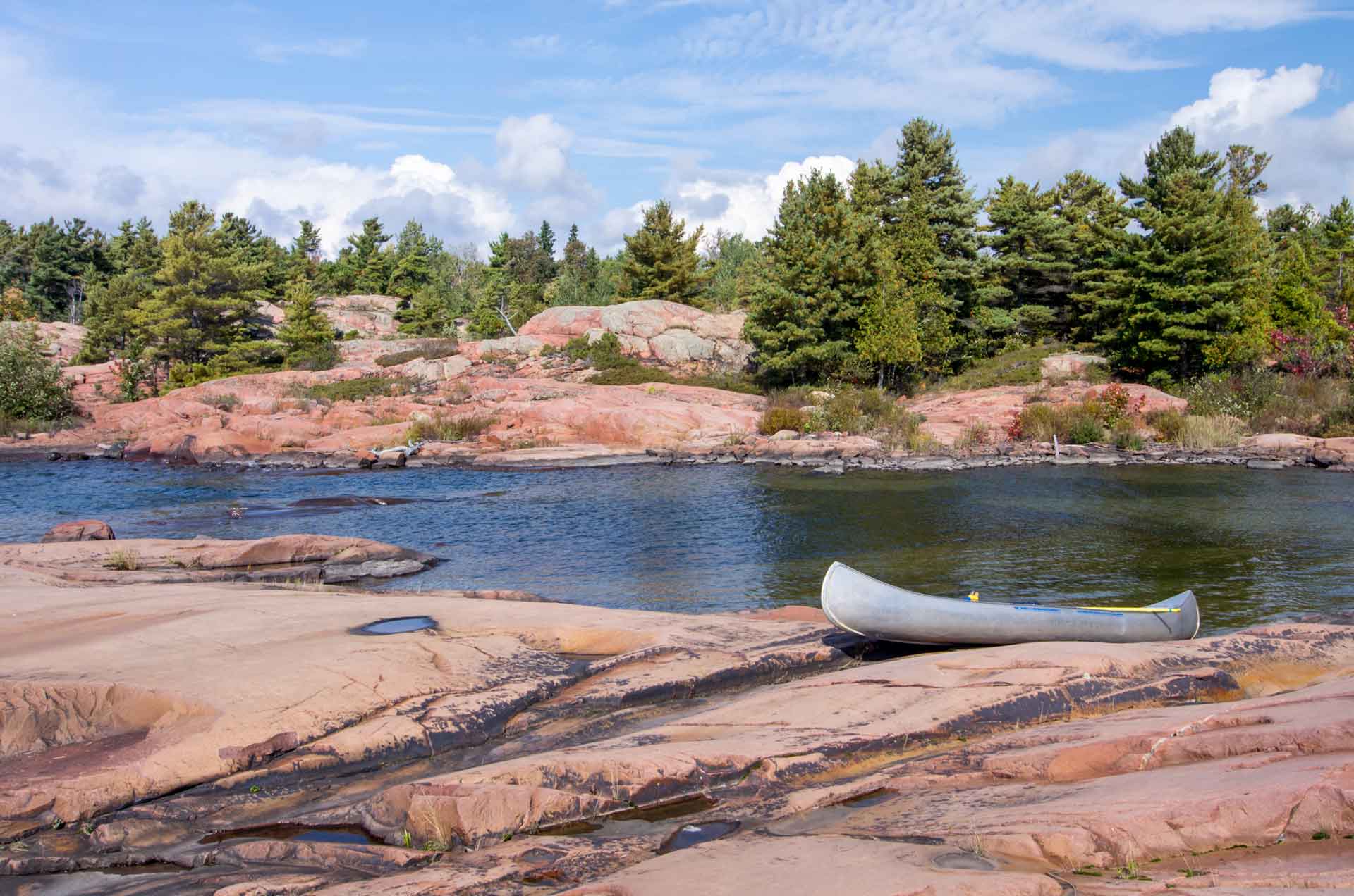
The EBC website carries a listing of all its properties on Manitoulin Island, alongside photos and descriptions of the geography, flora and fauna that make each site special. Trying to imagine what a rare savannah landscape would look like in Northern Ontario is one thing; it’s another to venture to EBC’s Bidwell Bog and experience it in person.

Manitoulin Island is very much part of the Niagara Escarpment.

“The provincial government has pretty much stalled when it comes to building provincial parks,” he says. “When it comes down to it, there’s only two groups that are working actively to create nature reserves on Manitoulin: us and the Nature Conservancy of Canada.”

There are challenges to this mission. Land costs are ever-increasing, making it harder for small organizations like EBC to afford purchasing their most sought-after lands. This pressure persists, even though the Canadian government has launched programs to encourage land preservation.

Of course, no conservation work would be possible without local champions. One of the best-known conservationists on Manitoulin Island is Dr. Roy Jeffery, a physician who has offered major help toward purchasing, maintaining and enhancing EBC’s properties, particularly its trail systems.

Dr. Jeffery’s name comes up several times as Mr. Barnett lists the 73 properties on Manitoulin that EBC either owns or stewards. Dr. Jeffery offered to match donations on EBC’s massive fundraising effort toward buying Heaven’s Gate, a 2,140-acre property in the LaCloche Mountains north of Manitoulin.

“He’s been so instrumental in a lot of our work on the Island,” Mr. Barnett says. “Dr. Jeffery and his family are very generous. Heaven’s Gate wouldn’t have been possible without them.”

One of EBC’s reserves near Manitowaning is on land donated by Dr. Jeffery and his wife Kathy, with that reserve appropriately carrying the Jeffery name. It’s near Fossil Hill and McLean’s Park on New England Road.

Mr. Barnett, as always, says he’s gazing toward the future. In early 2023, he says he has three properties that EBC is actively working on acquiring. “There might be a fourth,” he says, and a few moments later, “maybe a fifth.”

In his usual fashion, he declines to go on-record with the details of these latest projects, keeping up the suspense as a “wait-and-see” for now.

He says he wants to increase EBC’s holdings along Highway 6, making it easier for ferry-bound traffic to pause and experience nature as they cross the Island.

Venture into the Bidwell Bog to experience an interesting landscape.

There’s also a worldwide push on, thanks to a FedNor grant, to promote Manitoulin Island internationally as an excellent tourist destination. Dr. Jeffery, EBC board member Ted Cowan and project manager Sean O’Hare are getting advertisements in European and Scandinavian countries to boost interest in the Island’s trails.

All that extra interest means Manitoulin’s trails and nature reserves will be in tip-top shape this year, ready for even more seasonal visitors. 

Every EBC property offers something a little different, and it will take you several Manitoulin Island trips to experience them all. That leaves just one question.

Which one will you visit first? 

Wass Tours

Wass Tours

Fishing Charters & tours

Wass Tours specializing in spring rainbow trout and summer salmon offering half and full day charters on Georgian Bay.   

Captain Wassegijig operates a transport compliant vessel certified in SVOP and MED A3 and is knowledgeable of the waters surrounding Manitoulin Island. 

Wass Tours also offers Scenic/Historic Cruises throughout the North Channel, Killarney and Collins Inlet.


Captain Luke Wassegijig

Book your charter today!

20180704_20483320180704_204833
20180908_20101920180908_201019
big-salmonbig-salmon
captaincaptain

Screaminreels Sportfishing Charters

Screamin' Reels

Sportfishing Charter

Captain Moe Gauthier is a full time Fishing Guide on Manitoulin Island.

He is the Owner/Operator of Screamin’ Reels Fishing Charters based out of South Baymouth,
Manitoulin Island.

With over 20 years fishing the waters of Lake Huron. Captain Moe grew up fishing and hunting Manitoulin Island. He is extremely knowledgable of the island and the water’s surrounding it.

Capt. Moe operates a 30ft Sea Sport Fishing boat and has the latest technology onboard.
This aides him in giving his clients “a trip to remember for a lifetime”. His passion for fishing is evident the moment you step on the Screamin’ Reels.

Captain Moe won 1st place and has multiple top 10 finishes in the Manitoulin Salmon Classic Fishing Derby.

Captain Moe Gauthier

39005933_1130753983729229_1737031954441699328_n39005933_1130753983729229_1737031954441699328_n
45005985_1185954844875809_8507964350881857536_n45005985_1185954844875809_8507964350881857536_n
37243230_1099957010142260_2534506574131494912_n37243230_1099957010142260_2534506574131494912_n
36860398_1094047890733172_6056940786954534912_n36860398_1094047890733172_6056940786954534912_n

A Magical Place

A Magical Place

In so very many ways, the duality and intermixing of Manitoulin’s parallel cultures–First Nations people and the descendents of nineteenth century farming pioneers–define Manitoulin and make the world’s largest island in fresh water undeniably unique.

You’re a visitor who has decided to explore Manitoulin Island and you decide to journey from southern Ontario, up the Bruce Peninsula to Tobermory and make the ferry trip across Georgian Bay part of your holiday plan.

The ferry is named the M.S. Chi-Cheemaun, or “Big Canoe” in the Ojibwe language.

When the ship was being built in Collingwood between 1972 and 1974 to go into service in our waters, the Ontario government had a naming contest and the name “Chi-Cheemaun”, submitted by a resident of the Cape Croker First Nation on the Bruce Peninsula, was chosen the winner.

You ride the Big Canoe across the deep waters of Georgian Bay and you, your car, truck, bicycle or motorcycle disembark at the community of Sagidawong, the Ojibwe name for the modern town of South Baymouth, where the English name is merely a direct translation of the name that First Nations people had called this land feature for thousands of years. North on Highway 6, you’ll come to the town of Manitowaning, while a left turn onto Highway 542 will take you to the busy commercial hub of Mindemoya. These are examples of communities that have retained their traditional Ojibwe names (there are many more) and signals to tourist visitors that, on Manitoulin Island, the cultures here are inextricably linked. Take Manitowaning which is, in spite of its name and that of its surrounding municipality (Assiginack), one of Manitoulin’s commercial centres where the older homes and businesses were built and founded by pioneers of Irish, Scots and English heritage.

The ferry is named the M.S. Chi-Cheemaun, or “Big Canoe” in the Ojibwe language.

This having been said, Manitowaning is also the home base of De-ba-jeh-mu-jig Theatre group, an internationally-acclaimed professional First Nations theatre troupe that operates out of its Creation Centre in the community’s downtown.

Summertime offerings at the theatre, when the actors are in residence, can be accessed at www.debaj.ca and by scanning the Manitoulin Island newspaper, The Manitoulin Expositor (where you can also learn what’s happening at Manitoulin’s other theatre, the Gore Bay Theatre during July. www.gorebay.ca) But the presence of the First Native theatre, in Manitowaning which is, in turn, within Manitoulin Island, is one of those “wheels within wheels” experiences you’ll discover to your delight throughout your Manitoulin visit.

When you take Cardwell Street out of Manitowaning, the roadway that is the only land link to the enormous double peninsula that is the Wiikwemkoong Unceded Territory, you’ll pass by two institutions that are important to Manitoulin but each of which represent Manitoulin’s unique cultural duality. The Assiginack Curling Club and the clubhouse for the Rainbow Ridge Golf Course are both located where Clover Valley Road intersects with Cardwell Street and give the impression of sharing a common parking lot because of their proximity to one another.

The Rainbow Ridge Golf Course, however, is owned and operated as a public course by the Wiikwemkoong Unceded Territory while the Assiginack Curling Club is operated by a community board for the benefit of the local folks for whom the game is a winter passion.

More wheels within wheels as the two recreational facilities, both hosting sports with Scottish origins, exist side by side where they each welcome the broad community to play their respective games and yet each is operated by one of Manitoulin’s cultural communities.

While these last are unique examples of cultural cooperation, they do serve to underscore the fact that, when you are on Manitoulin, you are living within a mosaic that has been carefully crafted by municipal and First Nation neighbours over the past 150 years.

When you take Cardwell Street out of Manitowaning, the roadway that is the only land link to the enormous double peninsula that is the Wiikwemkoong Unceded Territory, you’ll pass by two institutions that are important to Manitoulin but each of which represent Manitoulin’s unique cultural duality.

Not that the going has been always easy, for it has not. But common sense here has taught the people of Manitoulin, whether their ancestors were the long-time First Nation inhabitants of the place or the descendants of the pioneer settlers, how to live, work and play together and to respect one another’s traditions and this is something of which everyone can be justly proud.
People celebrate their own, local heritage too and you are invited to join them as a visitor.

Every First Nation community, for example, hosts at least one cultural festival, usually referred to as a powwow. The one over Civic Holiday weekend in Wiikwemkoong is the largest and oldest and spans four days. It is also a competitive event and is a stop on a North American powwow circuit where dancers compete for prize money. It’s a big, major event and, historically, is the oldest powwow in Central Canada. (Visionary people from Wiikwemkoong revived the tradition in 1961 and all of Ontario’s First Nations powwows have evolved from this pivotal event more than a half-century ago.)

The rest of the First Nations communities celebrate “Traditional” powwow events which are non-competitive and are held to celebrate and showcase each community’s own traditions as homecoming events and as a series of major summertime festivals. All of them welcome tourist visitors and all of them have traditional crafts and food for sale by local vendors. 

But the sharing of culture on Manitoulin is nearly inexhaustible: dedicated volunteer groups in virtually all of Manitoulin’s municipalities have created local museums to maintain aspects of their particular heritage.

The rest of the First Nations communities celebrate “Traditional” powwow events which are non-competitive and are held to celebrate and showcase each community’s own traditions as homecoming events and as a series of major summertime festivals.

In South Baymouth, where the ferry docks, the museum originated in the community’s one-room school (it’s located just before the ferry terminal) which has since seen other buildings added within the old schoolyard to house more artifacts and displays.

In Mindemoya, the feature is a covered bridge that leads to a display of pioneer farm implements. In Gore Bay, the old jail is the basis for a museum that has expanded to include art gallery and studio space at its original site and now on the waterfront as well. In Meldrum Bay, whose origins were as a pioneer fishing village, the museum reflects this as it is located in an historic net-mending building and there are other equally unique places that reflect local culture in Sheguiandah and Manitowaning.

Art abounds and there are privately run galleries in Wiikwemkoong, M’Chigeeng, Little Current, at 10 Mile Point along Highway 6, in Gore Bay, on Lake Kagawong at Perivale, on the shores of Dominion Bay, in Kagawong village and in many other locations.

The variety of work they display is enormous, of high quality and showcases Manitoulin’s dual cultures.

Manitoulin Island is culturally diverse but at the same time it is all one place.

There is much to see and learn on Magical Manitoulin. We look forward to sharing these experiences with you.

Manitoulin Island – Land of Legends

Manitoulin Island:
Land of Legends

Manitoulin is a place that, while it’s north, isn’t quite in Northern Ontario, so it’s not too far from your home.

 Manitoulin has always been a sort of middle earth: neither north nor south; the sort of place where dreams and legends abound.

 On Manitoulin, you can relax and dream of the past or the future.

 And, long before European settlement of the largest freshwater island in the world, the original people told legends of how each place came to be.

 Here is a sampling of Manitoulin lore:

 Manitoulin is a place where legends live on. Wherever you go on this vast and beautiful island, you can feel the mystical aura of the place and its people. Visit Manitoulin’s communities and you’ll always be drawn back for more.

 Every place has a story to tell, it’s just up to you to discover it. To start off, here are the original meanings of some of the village names of the Island. No doubt you’ll agree it is a shame some of these beautiful, lilting Ojibwe names were Anglicized.

Manitoulin is a place where legends live on. Wherever you go on this vast and beautiful island, you can feel the mystical aura of the place and its people. Visit Manitoulin’s communities and you’ll always be drawn back for more.

To begin, the name Manitoulin has sort of a legend of its own. The Ojibwe and Odawa people saw Manitoulin as the home of the Great Spirit. They believe that nature and its forces are represented in the spirit world by “manitous”. Superior to all the other manitous is the Great Spirit, known around these parts as Gitchi Manitou. And because of the Gitchi Manitou’s greatness it was only fitting that this spirit would live separate and apart from all other spirits.

 No other place seemed quite as appropriate to serve as the home of Gitchi Manitou than a great island lying in the north end of Lake Huron. So the Gitchi Manitou has made the world’s largest freshwater island its home ever since, lending part of its name to address its home…the Manitoulin Island.

 Translated literally the name “Manitoulin” means God’s Island, and a lot of tourists and locals alike would agree with that assessment.

 The Ojibwe name Manitowaning can be translated to mean “den of the Great Spirit”, the home base of the Gitchi Manitou. Another legend has it that the Great Spirit makes use of a secret underground cave linking South Bay and Manitowaning Bay, to travel from one to the other.

 Sagidawong means simply, the outlet in English. This little island village blossoms during the summer months when thousands of tourists flock to Manitoulin via the island’s southern link to the mainland, the Chi-Cheemaun ferry. Sagidawong has been replaced with the much more easily pronounced, if not hum-drum name of South Baymouth.

Translated literally the name “Manitoulin” means God’s Island, and a lot of tourists and locals alike would agree with that assessment.

“Home of the stork”, “place of the grindstone”, and “bay of grey slate” are all translations for the name Sheguiandah. Sheguiandah actually refers to two communities; Sheguiandah First Nation and the tiny village of Sheguiandah. Evidence of human habitation, probably attracted by the excellent quality of the silica deposit at this location dates back well over 9,000 years making it one of the oldest sites of prehistoric civilization in North America.

 Further north is Manitoulin’s largest metropolis, a town of 1500. Waiebijiwang literally means “where the waters flow” in the Ojibwe language. Early French voyagers must have had the same idea when they christened the settlement “Le Petit Courant”. On early maps the community was labeled Shaftsbury.

 Metchiging, meaning “place of the fish harpoon”, had taken on the somewhat less romantic name of West Bay but has since reclaimed its name as M’Chigeeng. The geographic centre of Manitoulin, M’Chigeeng is home to Manitoulin Secondary School, the island’s high school. Over the years artistic talent in the community has flourished, led, in part, by the efforts of the Ojibwe Cultural Foundation.

 The next step on Highway 540 is a place that has retained its Ojibwe name, Kagawong, home of the beautiful Bridal Veil Falls. It translates to mean, “where mists rise from the falling water”.

 Gore Bay, a town of 800, was given the Indian name of Pushkwdinong. Translating to mean “the barren hill”, the name is no longer appropriate as Gore Bay is a noted place of beauty on the Island.

 Not forgetting the largest unceded Indian reserve in North America, Wikwemikong, with a population of over 3000 means “bay of the beaver”.

Tehkummah, is instantly recognizable as the name of a great chief, Louis Tekoma. The name means “rays of light flashing in the sky”…probably referring to lightning.

Its west end counterpart, a small reserve called Sheshegwaning, has an unsettling name that means “place of the rattle snakes”. The name is more than a little misleading considering the Mississauga rattler is no longer found there.

 The beautiful little hamlet of Providence Bay, home of the legend of the burning boat, and the sailer’s grave, has an Ojibwe name, Bebikodawangog, that aptly means, “where sand curves around the water”. Providence Bay boasts the largest sand beach on the Island.

 Spring Bay, a close neighbour to Providence Bay, means “cold water” in its Ojibwe name, Takibiwikwet.

 Not to be left out, Mindemoya has a name that serves as a legend in its own right. Mindemoya translate to mean “the old woman”, and refers to a legend regarding the island in Lake Mindemoya.

 Tehkummah, is instantly recognizable as the name of a great chief, Louis Tekoma. The name means “rays of light flashing in the sky”…probably referring to lightning.

There are countless other magical places on this Island with long forgotten, enchanting names. Give it a whirl and see what other legends you can discover.

The Burning Boat

Legends of Manitoulin:

The Burning Boat

When a full red moon rises over the shores of Providence Bay, a phantom ship is engulfed by hot red tongues of burning flames.

What could the mysterious ghost-like ship be? Are the secret whispers of a thousand stories of centuries gone by heard amongst the glowing embers of the ship’s gutted frame? Or is the burning boat simply an illusion of the moonlight dancing upon the rippling waters of Providence Bay?

No one really knows. And it has been a good many years since the legend of this blazing vessel has been told amongst the townspeople of the tiny hamlet of Providence Bay. The legend has all but been forgotten.

And it has been a good many years since the legend of this blazing vessel has been told amongst the townspeople of the tiny hamlet of Providence Bay. The legend has all but been forgotten.

Nearly fifty years ago tourists and locals alike used to line the shores of Providence Bay, directly in front of the Cornish’s camping park, now Providence Bay Tent & Trailer Park, to try and catch a glimpse of this flaming enigma. Sometimes numbers would equal thirty or forty, and all would scan the bay until three or four in the morning, looking for the legendary ship.

And many times their search would be successful. Many a tourist has left Manitoulin with the never to be forgotten memory of a fiery red ball of flames floating on the waters just off where the lighthouse used to stand. And some have even captured the spectacle on film.

Legend has it that the boat bursts into sight in a huge ball of fire and then, for a time, the flames recede to allow the observer to see the outline of the gutted ship.

Many a tourist has left Manitoulin with the never to be forgotten memory of a fiery red ball of flames floating on the waters just off where the lighthouse used to stand. And some have even captured the spectacle on film.

But sceptics claim that the boat can only be seen at night, because without the reflection for the huge red moon, the illusion is not possible. Sightings at dusk, they answer, a simply the result of a brilliant sunset playing the same tricks upon the waves.

Another theory tries to explain the hazy, smoky image of the burning boat. It has been said that the ship’s flaming outline is almost like hot gasses or heated air flickering for a moment and then erupting into flames.

Bring your blankets and lawn chairs and wait until the fiery apparition appears. It may be a night you will never forget.

Whatever it is, the puzzling legend of the burning boat will forever spark the curiosity of all those who know the tale.

But by no means take anyone’s word for it. See for yourself. Mark your calendar for the full moon during your Manitoulin vacation. It would be the perfect opportunity to watch a legend in progress. Bring your blankets and lawn chairs and wait until the fiery apparition appears. It may be a night you will never forget.

Exploring Manitoulin Island

Exploring Manitoulin

To find comparisons that will register with the imagination and accommodate the extreme disproportions of geological time is no easy task.

However, imagine if you will, a walk from Little Current to the Bidwell Road, about 20 kilometres. If we let this distance represent all the time since the formation of the universe (Big Bang approx. 15,000 million years ago), every step would represent 400,000 years. Our earth and sun would come into existence almost 2/3 of the way through our walk. Half a kilometer away from the Bidwell, the age of dinosaurs begins and they become extinct about 100 meters from the turnoff. The whole human history from the time of Christ to the present would be the last 3 millimeters of highway before we finish our walk.

If time on such a grand scale stuns us momentarily, we have only to look at Manitoulin Island and vicinity to see, touch, and walk upon the stones that witnessed the ancient seas and sunsets.

“And God said, let the waters under heaven and earth be gathered together in one place, and let the dry land appear, and it was so” Genesis 1.9

Half a kilometer away from the Bidwell, the age of dinosaurs begins and they become extinct about 100 meters from the turnoff. 

There was no oxygen in the atmosphere, no life on land and only the most primitive Cyano-bacteria forming in the tidal pools around 2300-2100 million years ago. During this time a thick sequence of sedimentary rock was deposited in the Sudbury-Manitoulin area. Mountain building (tectonic activity) deformed and metamorphosed (changed) these rocks. Erosion gradually wore down the huge mountains. The LaCloche Mountains of Willisville and Killarney are what remain of this ancient chain.

Between 480 and 410 million years ago, these same mountains were islands in a shallow, warm subtropical sea that covered much of North America and Manitoulin Island.

By this time, the seas teemed with life. Early types of shellfish and seaweed were the dominant species, along with the trilobite, the forerunner of todays horseshoe crab. Along with these organisms, the first reef corals were establishing colonies such as the formations at Fossil Hill south of Manitowaning. Together these creatures lived and died, their bodies building up the layer upon layer of slimy ooze that became beautiful Manitoulin Island.

Between 480 and 410 million years ago, these same mountains were islands in a shallow, warm subtropical sea that covered much of North America and Manitoulin Island.

Thus, the abundant limestone that a visitor sees virtually everywhere was deposited on the bottom of this ancient sea. Abundant fossils of the earliest marine life can be seen in the rock cuts just before and after the bridge entering Little Current. The round discolourations (on average the size of baseballs) in these rocks are fossilized sponges and the fossils that people often mistake for spinal columns, similar to those found in canned salmon, are actually the stalks of crinoids, a forerunner of todays seaweeds.

Each year, hundreds of geology students from all over North America come to marvel at the fossil formations that can be found in this area. One reason for this pilgrimage is that unlike sedimentary rock of this age found in other areas, Manitoulins Ordivician and Silurian sediments have not undergone any extensive deformations that would otherwise destroy the fossils. A first time visitor will be surprised to learn that the numerous large boulders one can see on the flats just outside of Little Current on the way to Espanola were deposited by mile and a half high glaciers which covered this area as little as 8,000 years ago.

A first time visitor will be surprised to learn that the numerous large boulders one can see on the flats just outside of Little Current on the way to Espanola were deposited by mile and a half high glaciers which covered this area as little as 8,000 years ago.

Shortly after, the glaciers began to rapidly recede. This area became sub-artic in climate and with the wooly mammoths that roamed the marginal barren lands came early Paleolithic hunters. In quarries near Sheguiandah the flint chips that remained after making stone tools are scattered everywhere.

The area has a truly amazing history.

Up Top Sports Shop

Up Top Sports Shop

About Up Top Sports Shop

D.A. Williamson and Sons and the Up Top Sports Shop is your local one stop shopping destination in the heart of beautiful Manitoulin Island. With products for the home, cottage, business, sports or leisure lifestyle – you can find it all at Williamson’s. Stop by and experience over 90 years of family run business tucked into one shop.

Established in 1921 by David (Davy) A. Williamson as the first hardware and grocery store of it’s kind, D.A. Williamson & Sons has proudly remained a trusting family-run business in the heart of downtown Mindemoya. Currently owned and managed by the third generation of Williamson’s, brothers Blaine & Barry, we are known and trusted by locals and tourists alike as “the place to get it all”.

Located on the main floor, the original structure of D.A. Williamson & Sons still stands as Mindemoya’s go to home and hardware retailer. Whether you’re looking for specific parts for that home project you’ve been wanting to finish or simply shopping for a decorative piece to accent your garden, we are always willing to provide you with exactly it is you’re looking for. With services such as key cutting, paint mixing, and a handful of experienced staff to help you along the way – you can get it done at Williamson’s.

Take a stroll upstairs and visit the legendary “Up Top Sports Shop”. Have a chat with our knowledgeable staff who are always eager to help you with your hunting, fishing, and outdoors needs. We offer fishing and hunting licenses in-store for your convenience. Learn about the best lures for your fishing trip, pick up a free map of the island and explore Manitoulin’s ultimate outfitting destination.

Contact Information:

147 King Street, Mindemoya, Ontario

Latest on Instagram from

#mindemoya

Split Rail Brewery

Split Rail Brewery

Brewery • Gore Bay

About Split Rail Brewery

Founders Andrea Smith & Eleanor Charlton created Manitoulin Island’s first craft brewery, Split Rail Brewing Company in 2012.

After a Kickstarter campaign and an extensive search for the ideal site, Split Rail launched in 2015 in scenic Gore Bay, on the shores of Lake Huron’s North Channel.

Enjoy a bite to eat on our licenced patio with lakeside views.

Our tasting room offers beer samples, by the 12oz glass, beer to go, merch and brewery tours.

Split Rail Brewery on Facebook

Turners of Little Current

Turners of Little Current

About 
Turners of Little Current

Turners Store, in the heart of Little Current’s unique waterfront downtown area, has been filling the needs of local people and visitors for 140 years. Its upstairs art gallery is a relatively new addition to this historic family business but the many pieces, mostly paintings, on display and for sale are well chosen and representative of the talented artists who derive their inspiration from Manitoulin Island and the North Channel. Adjacent to the museum is a private museum, open to the public, where the Turner family artifacts, documents and photos demonstrate the history and early days of the Port of Little Current. Open daily in July and August (Sunday hours are 11 am to 3 pm.) Closed Sundays the rest of the year. 

Turners of Little Current on Facebook

Contact Information: